Reading time:
short story - novelette - novella - novel - PhD thesis - War and Peace - U.S. Tax Code
Also available with a translator, 🇫🇷 🇪🇸 🇩🇪 🇯🇵 etc:
Any extracts used in the following article are for non-commercial research and educational purposes only and may be subject to copyright from their respective owners.
Contents
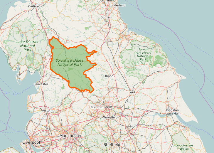
Walk overview
Start: Chapel-le-Dale
Ordnance Survey (OS) Map: Yorkshire Dales - Southern & Western Area
Whernside, Ingleborough & Pen-y-ghent. OL2. 1:25,000
Grid Reference: SD741775 (Philpin Lane); SD764791 (The Station Inn)
Public Bus Timetable
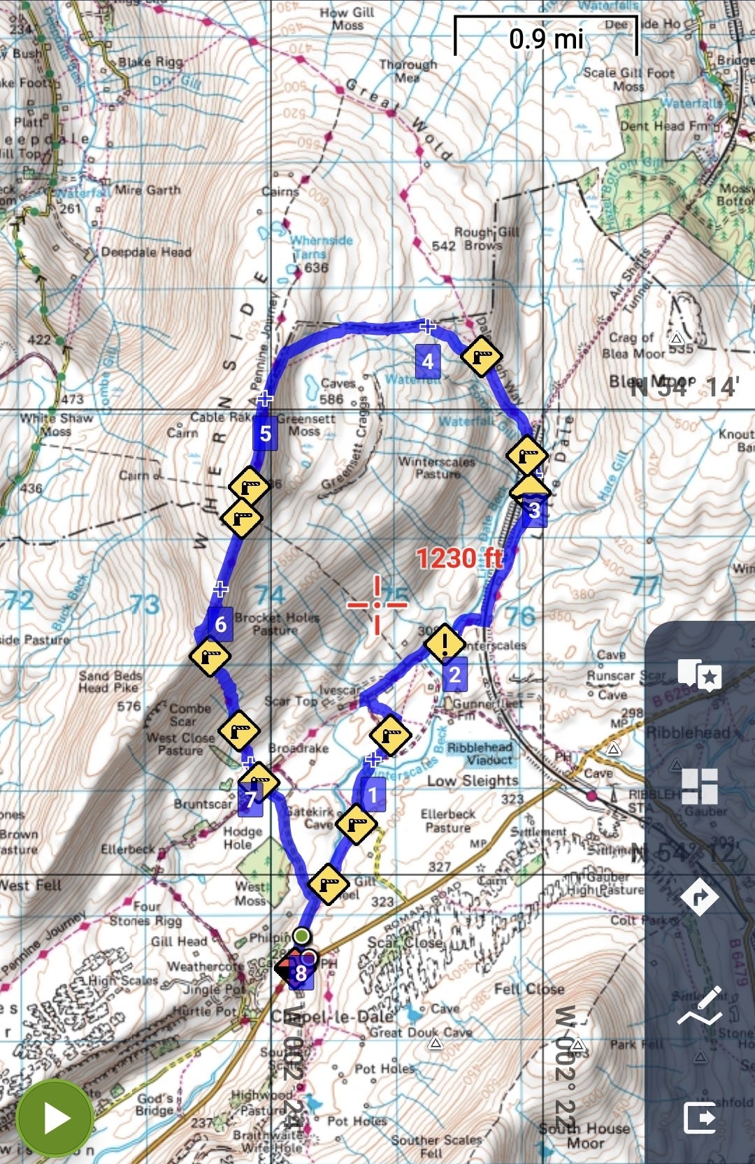
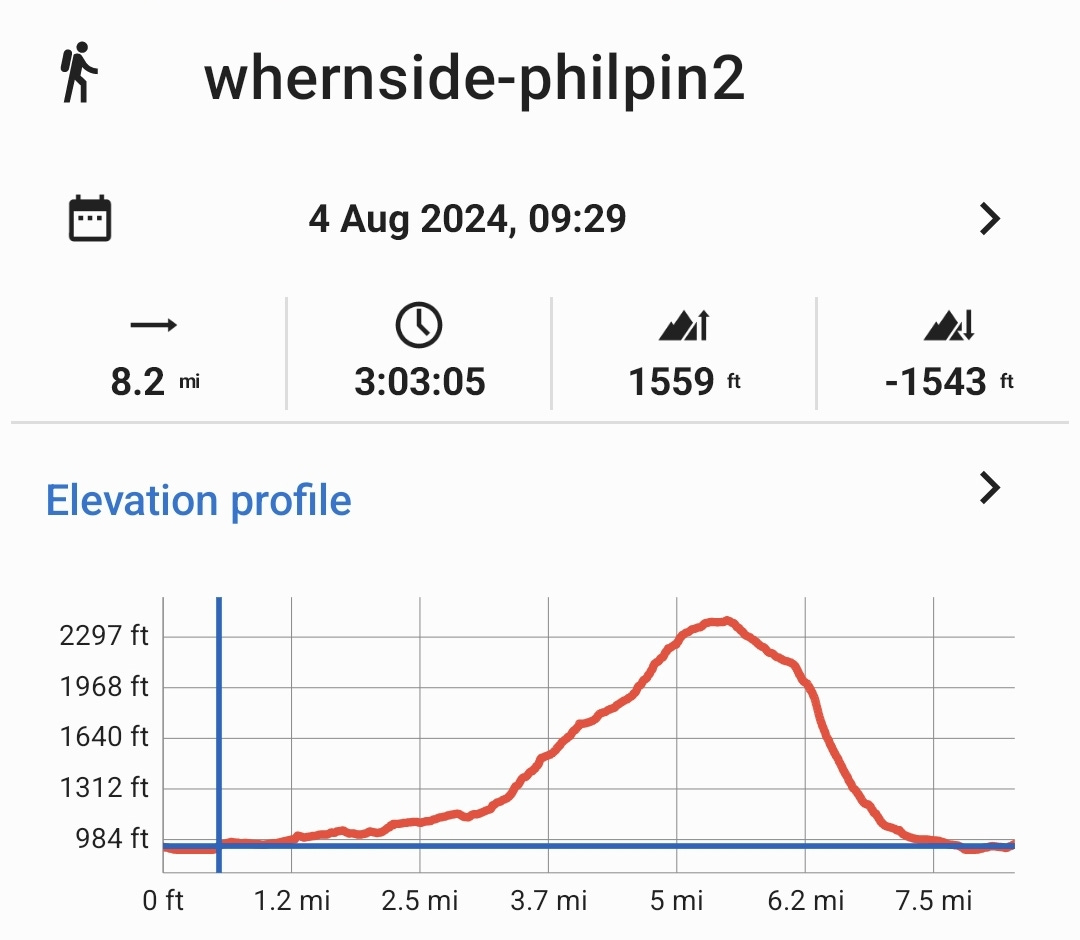
Distance: 8.0 miles / 13.0 km
Time: 3-4 hours.
Climb: 1608‘ / 490m
GPX Route Download
Google Earth Download
Android App: Locus Map
OpenAndroMaps Downloads for Android: Link
Guide to Adding Bing + OS Maps to Locus Maps Classic: Link (This is being deprecated by Microsoft and not ported over to Azure).
Website with OS Maps: Link
Garmin OpenTopo Downloads: These are near OS quality and include Basecamp files & DEM contours: Link
Further Reading: How to use OpenStreetMap and OS digital maps
Whernside circular route
This is the second of the summertime getaway specials, the first being the Malham field trip.
Whernside is 12 miles NW of Malham, and this hike took place 4 weeks after that.
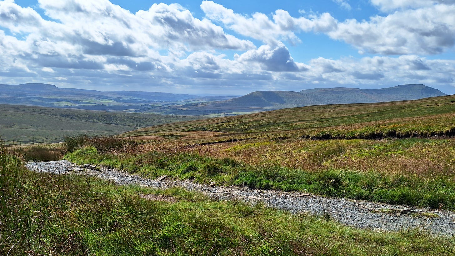
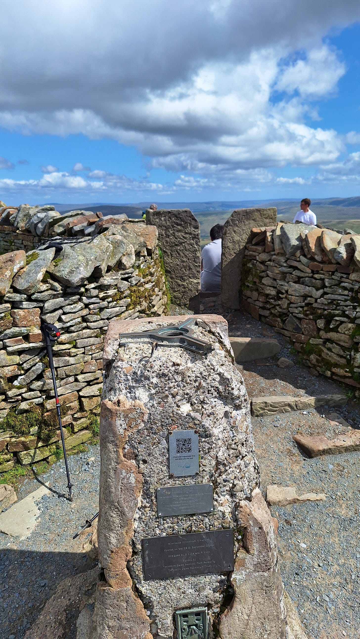
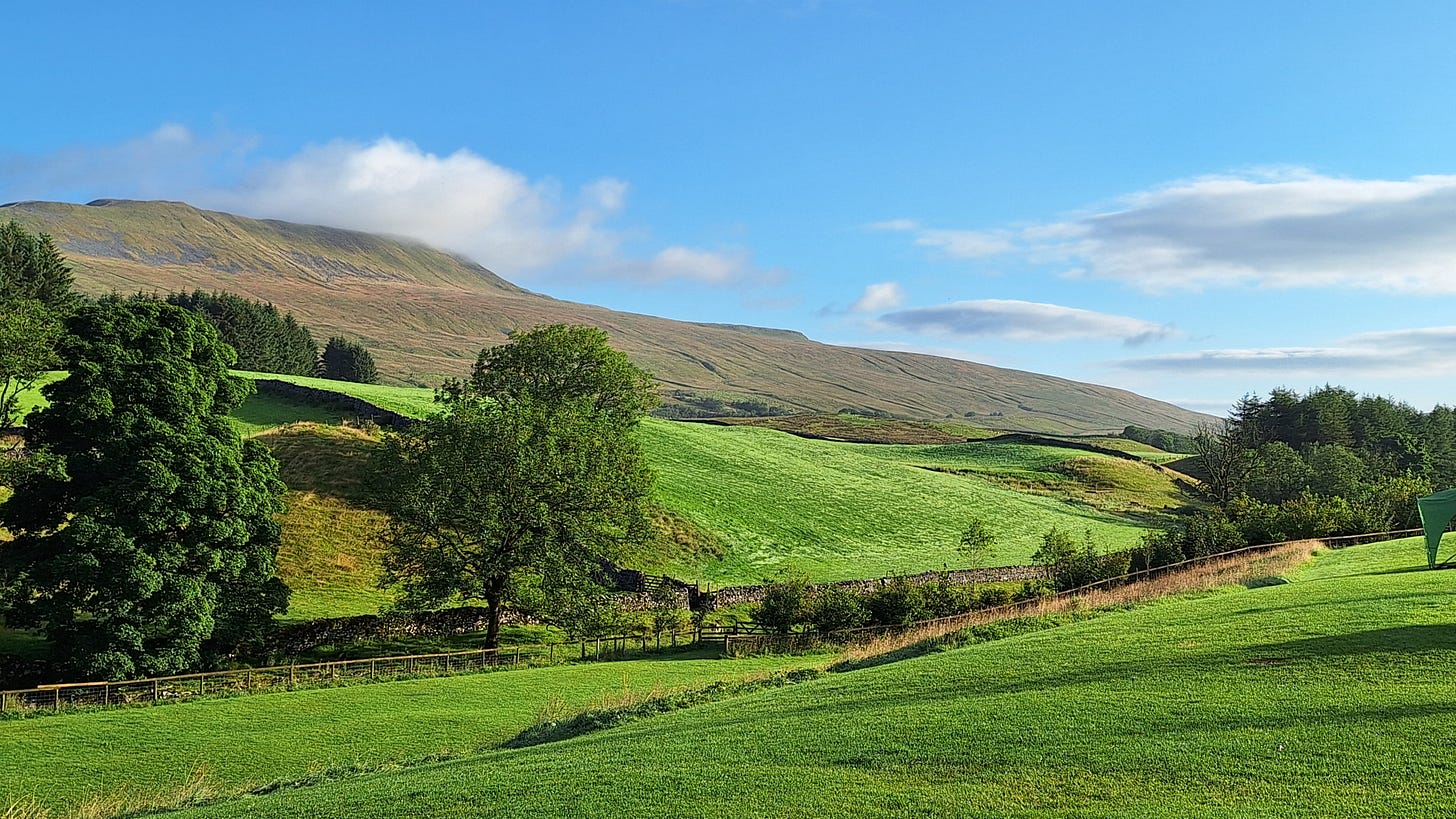
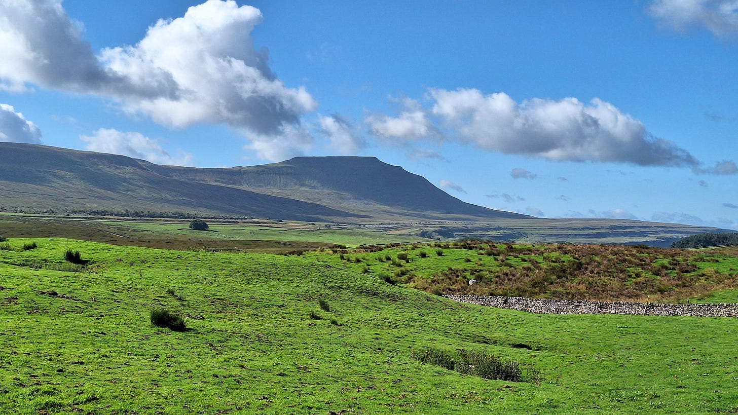
It stands at only 2410’ / 736m, with a typical climb of 1600’ from the valley.
The name, first recorded in 1208 as Querneside, is of Old English origin. It is derived from cweorn 'quern' or 'millstone' and sīde 'hillside', so means "hillside where millstones are found". The name is of the same origin as Great Whernside,[5] 17 miles (27 km) to the east, with which it is sometimes confused.
As I’m lone walking, I’m not committing straight away to higher, more challenging peaks as if anything goes wrong I have no one with me to help me down the mountain. The Mountain Rescue service do a brilliant job, but the last thing anyone wants is to need to rescue me after being an idiot.
A popular starting point is the Ribblehead Viaduct:
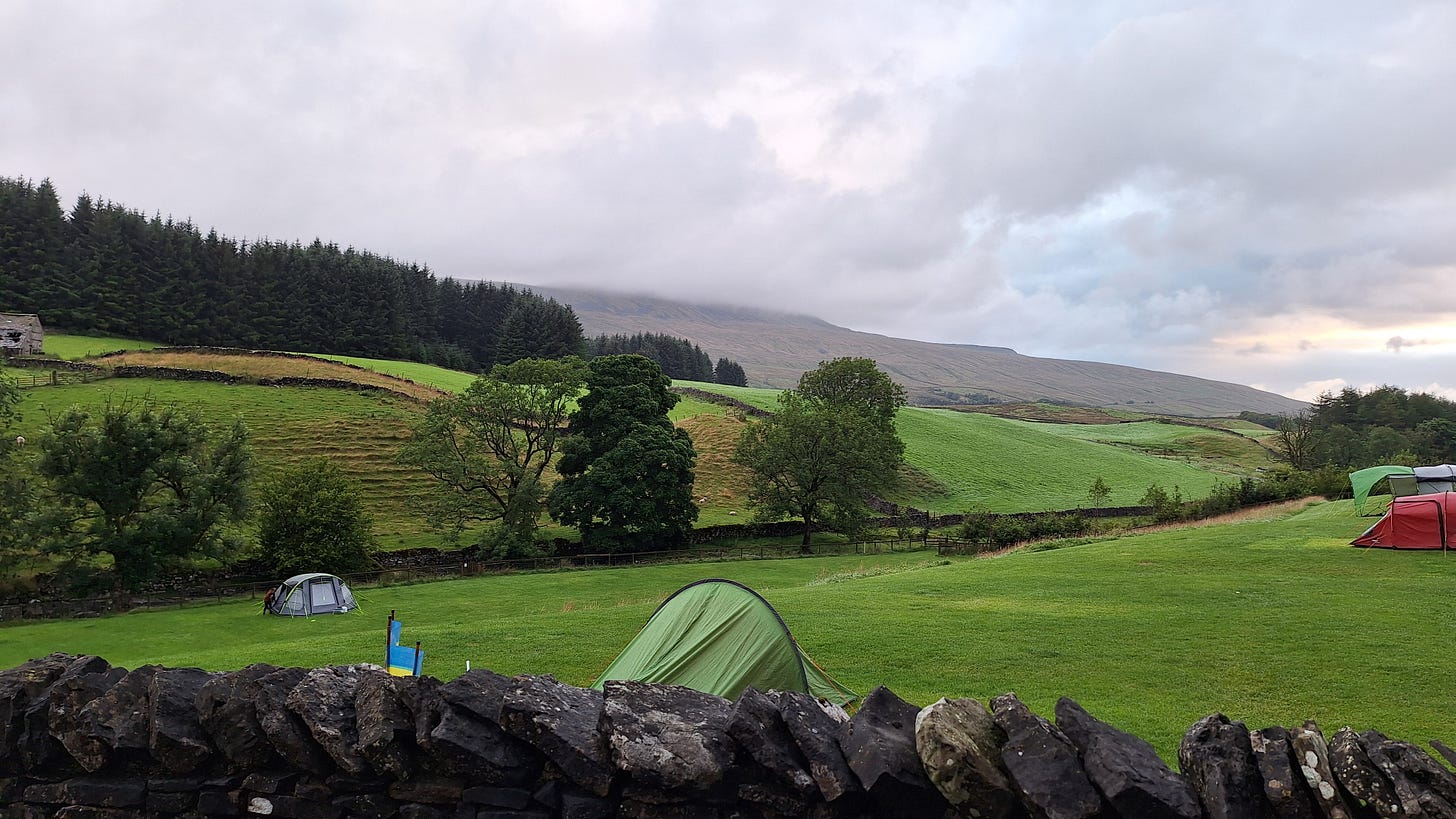
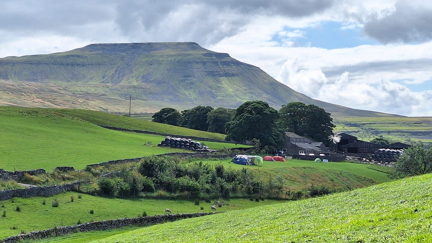
Philpin Farm Campsite
I created my own modified route as I was pitched at Philpin Farm, near waypoint 8:
Philpin’s was one of the best value campsites I’ve ever stopped at. It was £9 per night, vs the £16 I was paying at Riverside in Malham. I was off-grid for the 3 days, as the terrain blocked all my network coverage. Fortunately, they provided free WiFi in a barn.
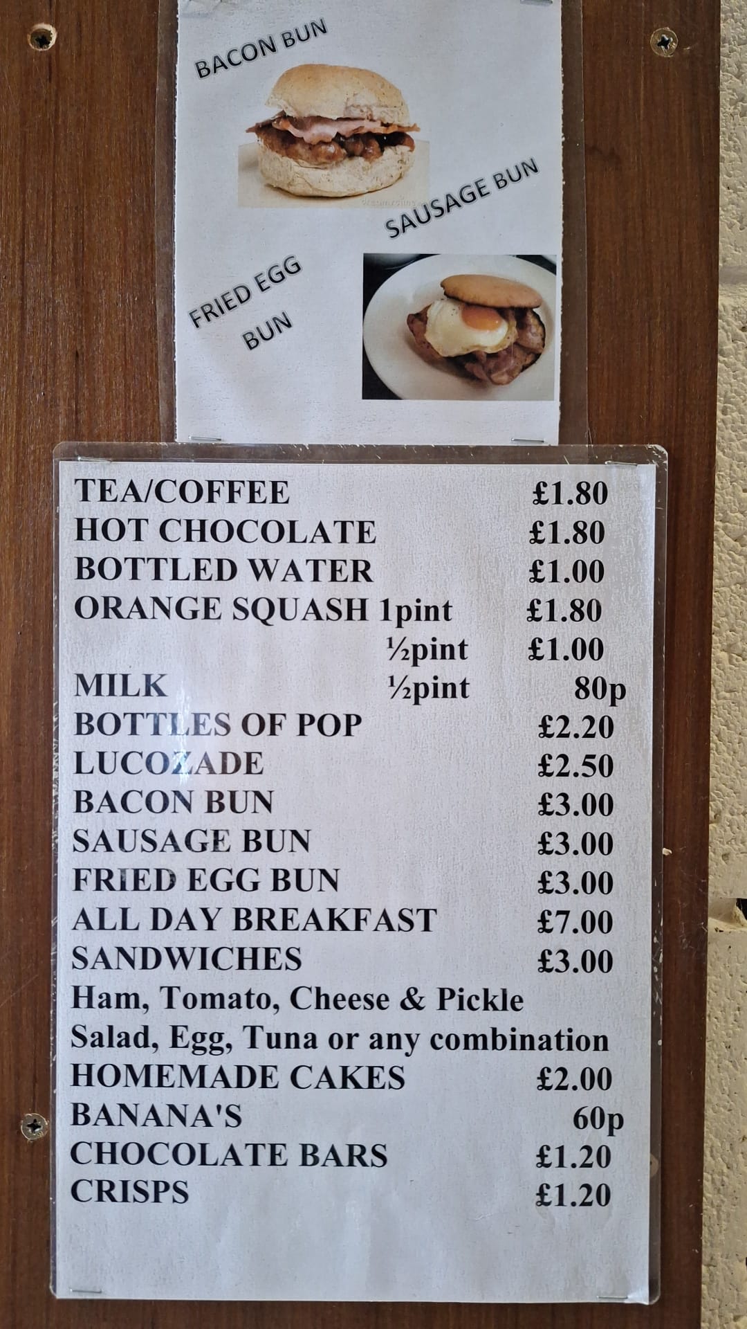
They have a cafe that opens at weekends, vending machines for drinks and snacks, plus you can even order a full English breakfast for £7 during the week if you don’t fancy lighting up your stove.
Best of all, the showers were excellent, unlimited and free, unlike at Malham. And only essential notices were displayed.
If you do get to visit I recommend staying in the upper part of the site to avoid the plague of midges lower down. I replaced the standard lightweight aluminium pegs with 8” rock pegs. There were gale-force gusts with driving rain on the first nights as a cold front swept through to leave the perfect day for walking. The tent (a Vango Nevis 300) survived unscathed.

Yorkshire Three Peaks Challenge
I wasn’t energetic enough to do this, and its best in a group, but several teams were on their way round. One chap had set off at 7.00am that morning, which was about when I woke up. You could start and finish from Philpin’s, but Pen-y-Ghent is the usual launching point.
The Yorkshire Three Peaks Challenge is 24-miles (38.6km) round trip route, and includes 1585m (5200ft) of ascent.
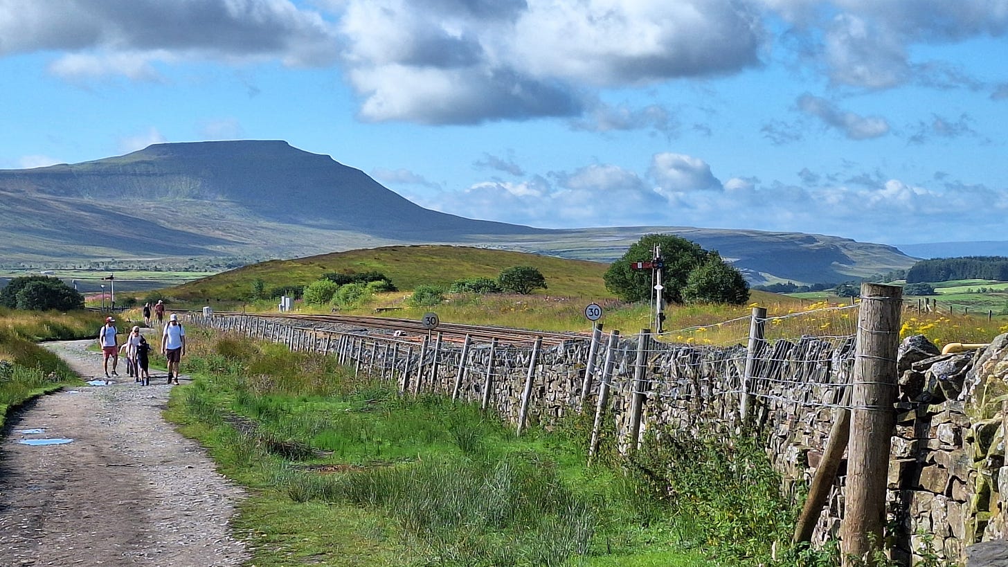
The Yorkshire Three Peaks Challenge takes on the peaks of Pen-y-Ghent (694 metres), Whernside (736 metres) and Ingleborough (723 metres), usually in this order, and in under 12 hours. These hills form part of the Pennine range, and encircle the head of the valley of the River Ribble, in the Yorkshire Dales National Park.
How to take part in the Yorkshire Three Peaks Challenge?
You can complete the Challenge either as part of an organised event, or as a self organised group. We have organised dates available each year, and we can also arrange private events for large groups.
https://www.threepeakschallenge.uk/yorkshire-three-peaks-challenge/
Whernside
The day started as good as it gets in the Dales, with a forecast high of 21C in the valleys and about 15C on the peaks, with winds peaking at a SW 20kts.
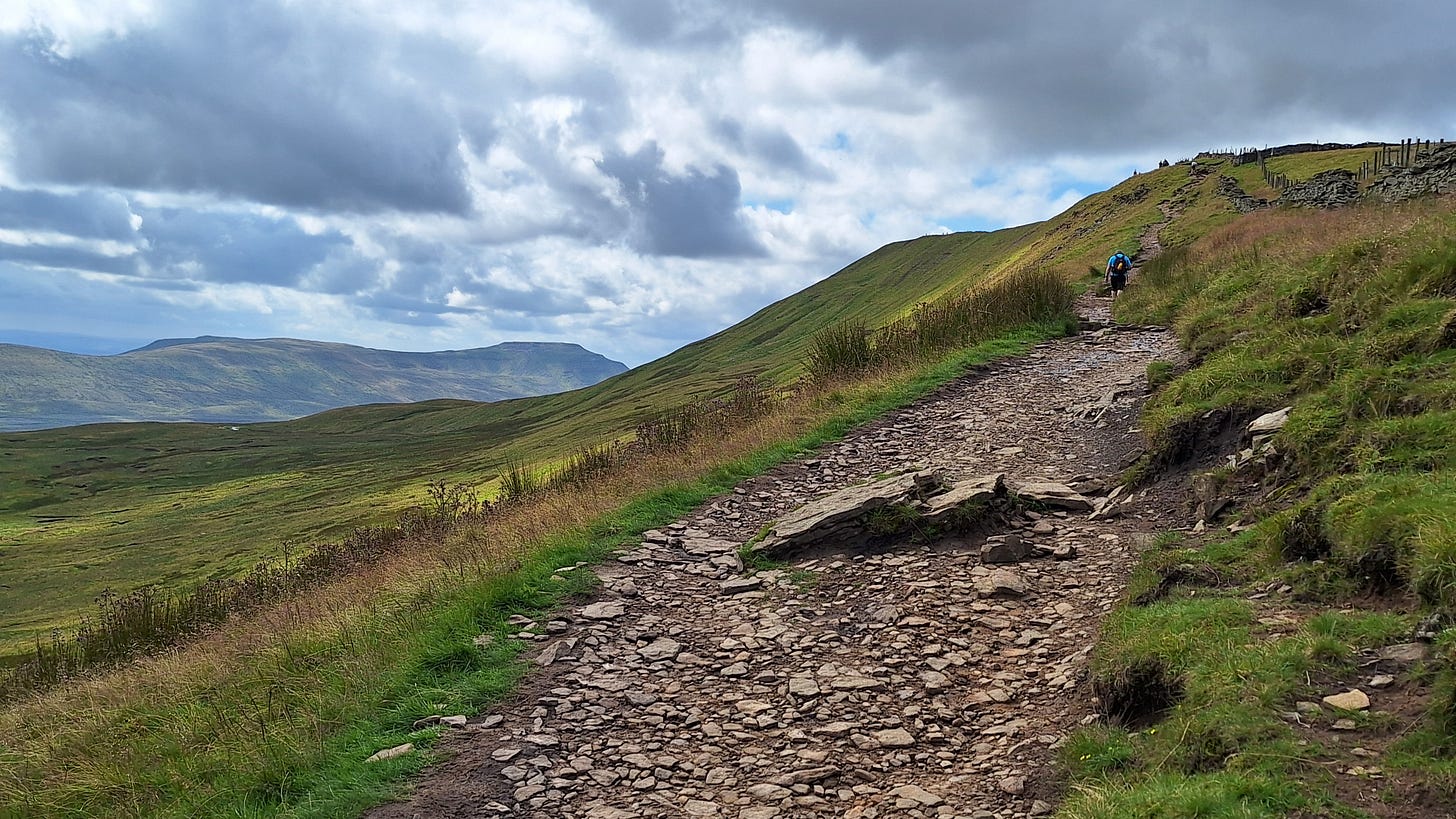
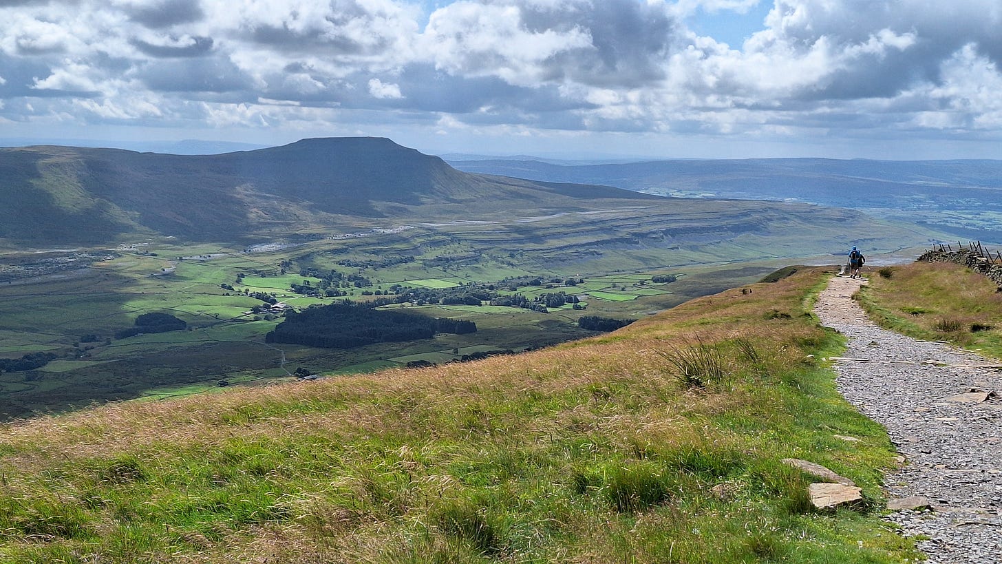
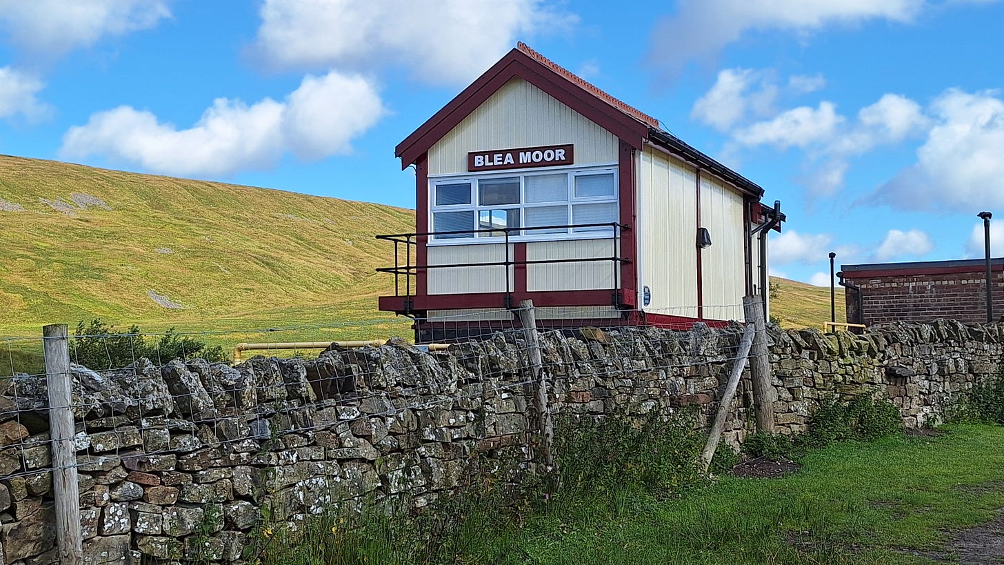
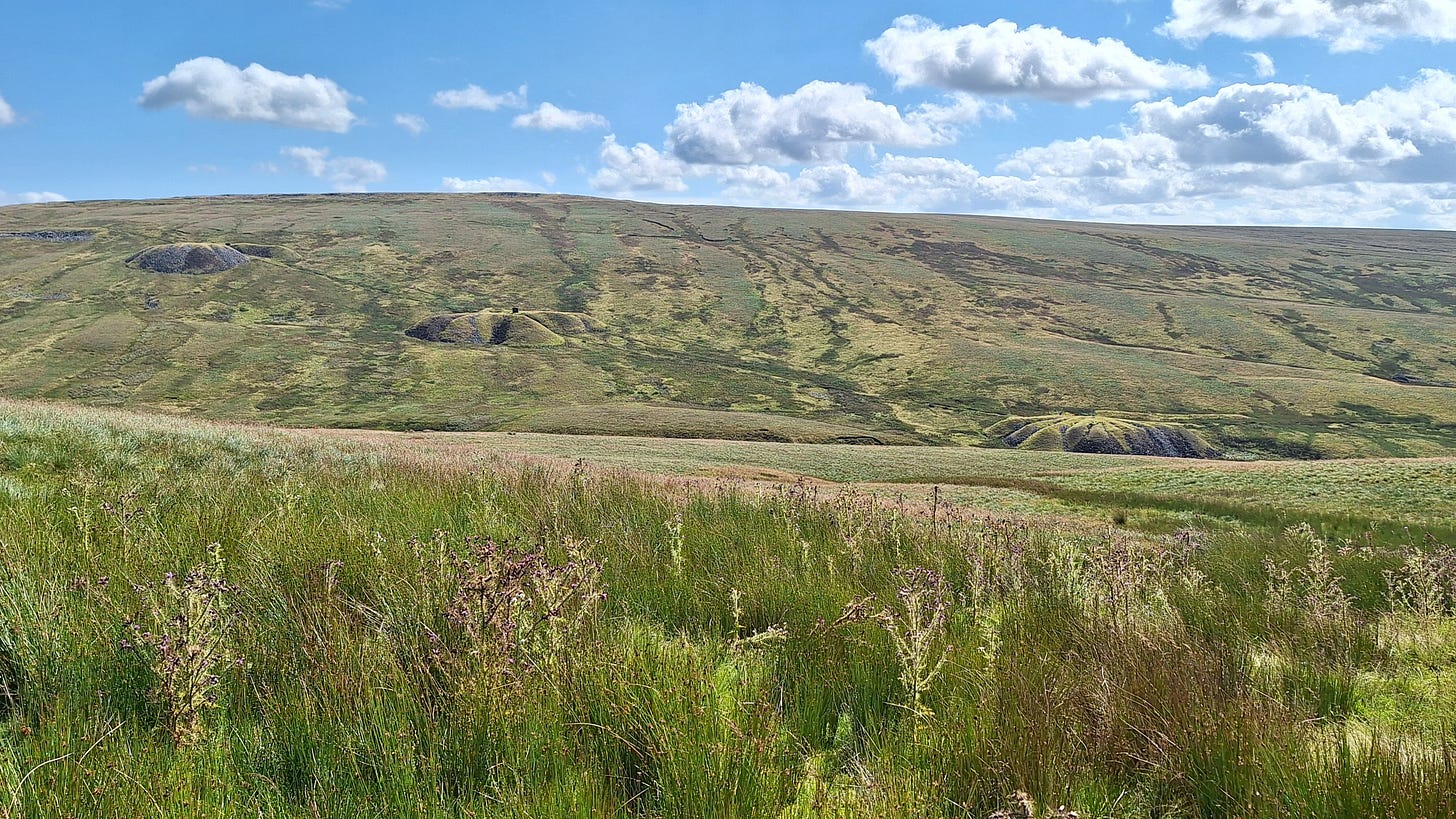
After 3 miles of valley walking along a mixture of rocky stream beds, surfaced paths and pastureland you cross under and then follow the Settle to Carlisle railway to Blea Moor, where it disappears into the so-named tunnel for 7787’ / 2404m. At it’s deepest it is 500’ / 152m below the surface. Built by the Midland Railway between 1872 and 1875, it cost £109,000, or £12,950,000 in 2023 terms.
The Settle-Carlisle line is 73 miles / 117km long. 6,000 navvies helped with the construction between 1869 and 1875. The estimated cost was around £2.3 million, or £270 million in 2023 terms. The death toll is unknown, but at least 80 died just from smallpox.
In the 1980’s, with only a few trains per day, the operators British Rail (BR) decided that the cost of restoring the tunnels and viaducts would be too high and planned to close the line. However, the outcry from protest groups, coupled with revelations of lies and dirty tricks by BR, led to an increase in traffic and by 1989 the Secretary of State for Transport, Paul Channon, announced that consent for closure would be refused.
A hat-tip must also go to the then Transport Minister Michael Portillo for commissioning an assessment of BR’s case, and finding that the line could be kept open for only £3 million, or about half the figure BR had put about.
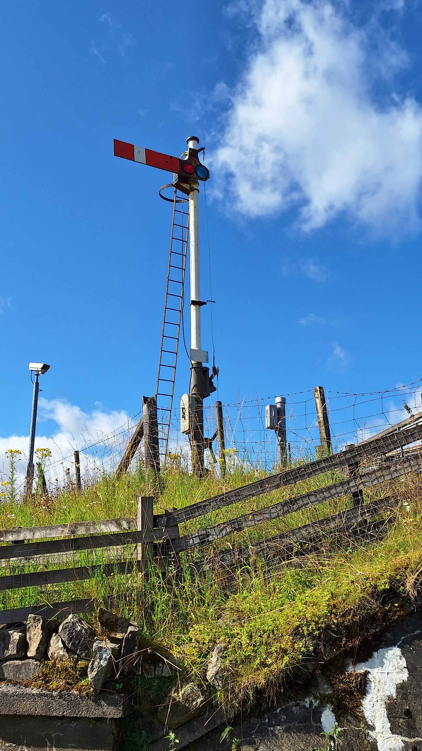
14 minutes of Long Drag train porn:
Source: “Steam over the Settle & Carlisle Railway - September 2020”
There is a 51-minute cinematic film from 1963, which begins with a lady taking several long drags. Geddit? I see what you did there.
Back to present day:
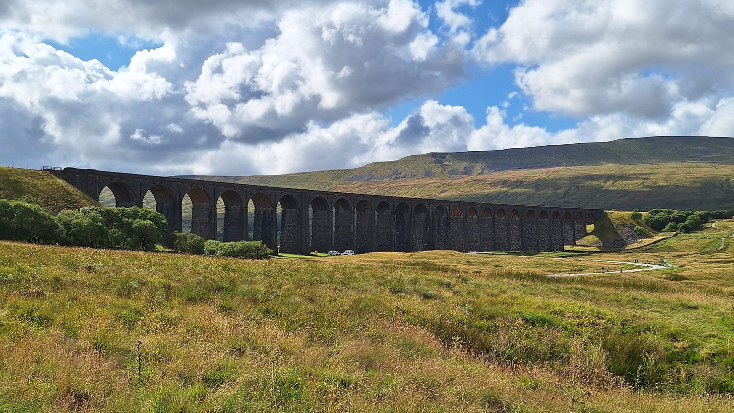
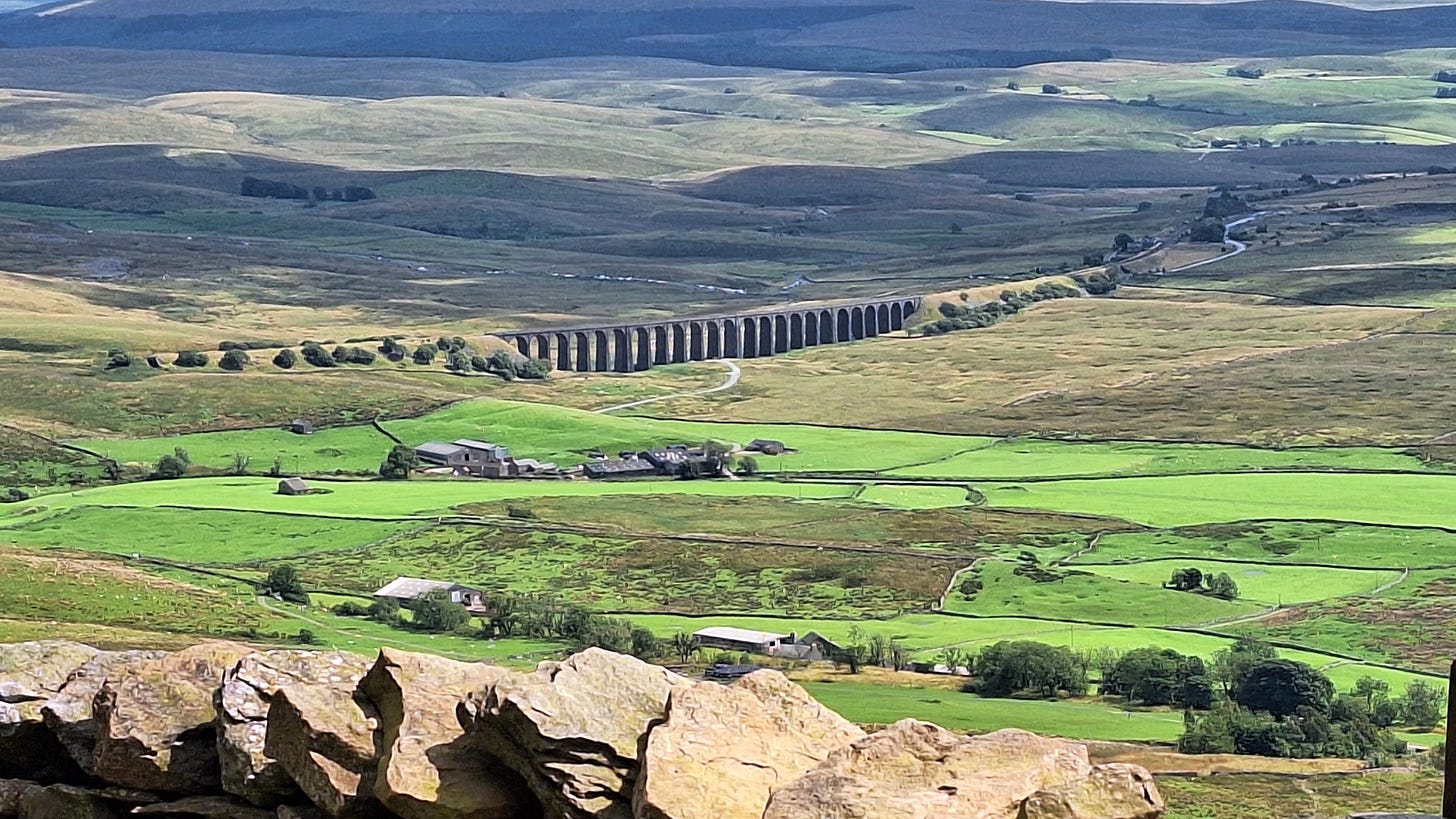
The Ribblehead Viaduct was constructed by 2,300 men between 1869 and 1874. The estimated cost then was £343,318. It has 24 arches, each spanning 45’ / 13.7m, and is 400 yards / 400m long. At its highest point it is 104’ / 32m above the valley floor. The pillars taper from 13’ / 4m across at the base to 5’ 11” / 1.8m near the arches. Faced with limestone blocks set with lime mortar, they have rubble-filled cores. Some of the blocks weigh up to 8 tonnes. Red brick arches span the pillars, and 1.5 million bricks were used.
After threats of closure had passed a major restoration was needed, and this took place in phases from 1990-1992,1999-2001, and from November 2020. The latest £2.1m project is to re-point joints and replace broken stones. This work was ongoing when I walked under it later in the day.
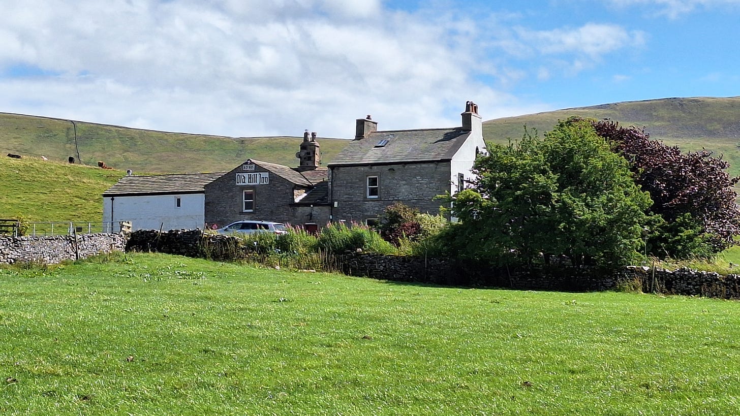
When I got back to camp I was ready for the traditional “hikers’ pint”. I had it all planned out: dump the rucksack (minus the car key, ahem) before the short walk to the nearest pub:
I confess I was a little apprehensive when I saw it.
The “Old Hill Inn” looked like it last opened in 1963, serving pints of Mild and brown ale in dimple glasses to sheep farmers in flat caps. “How do, s’evening?”.
Alas, my fears were born out, and it was closed.
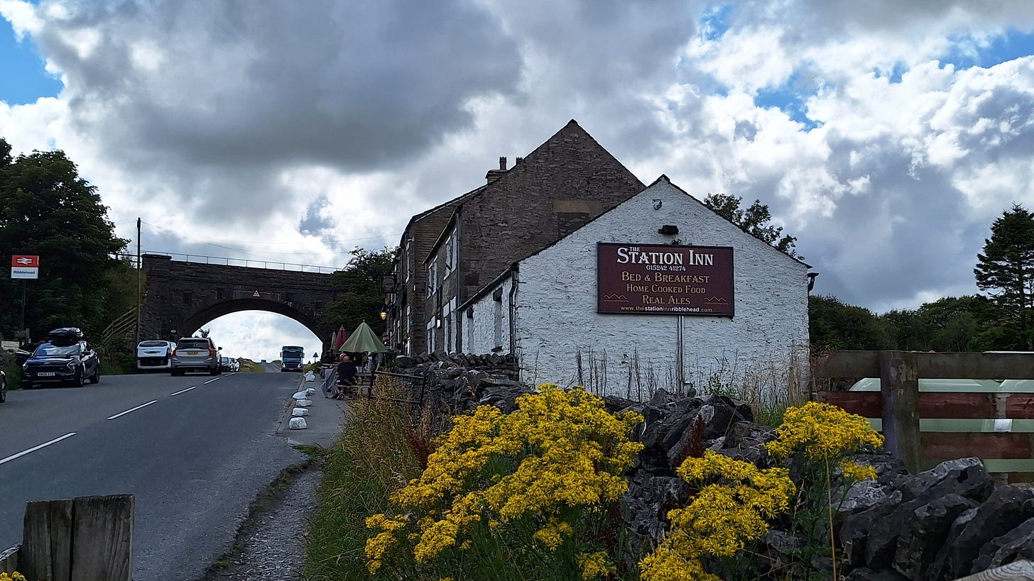
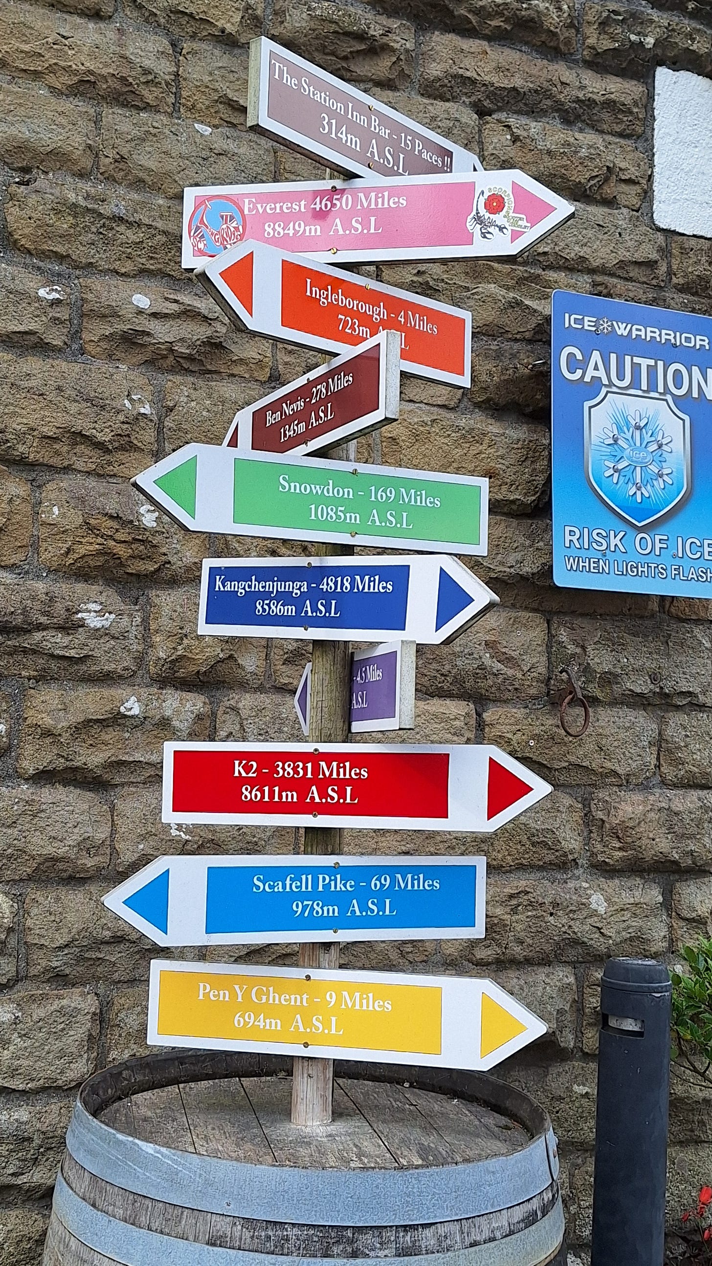
I had no cell signal to look up an alternative, so headed back to the barn to tap into the WiFi. The farmer/landlord sensed my urgent gasping need for a flippin’ pint I was dehydrated and suggested instead the Station Inn at Ribblehead.
He cautioned not to walk along the main road as there were no paths, and this meant certain death, but it was up to me. So I worked out a route that back-tracked over much of the valley route from earlier. It meant a 4.5 mile round trip, but it was a pleasant evening.

Thornton Force
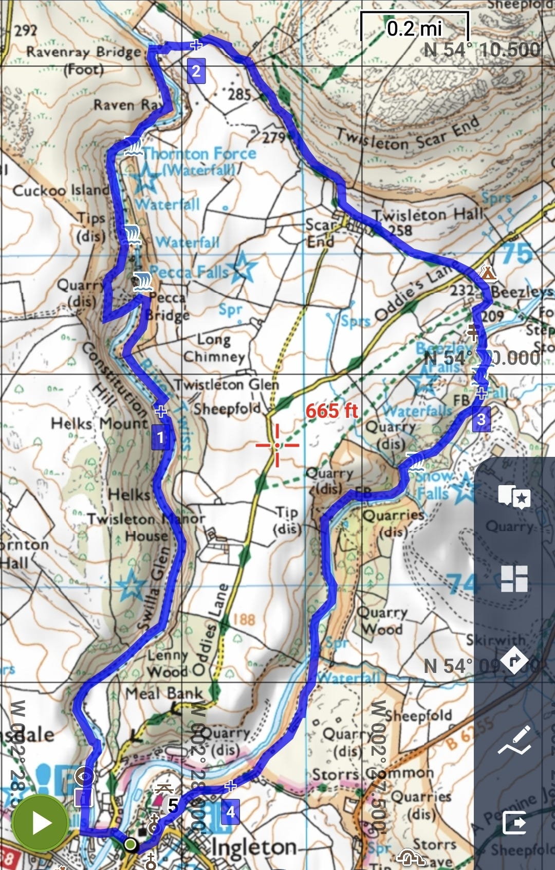
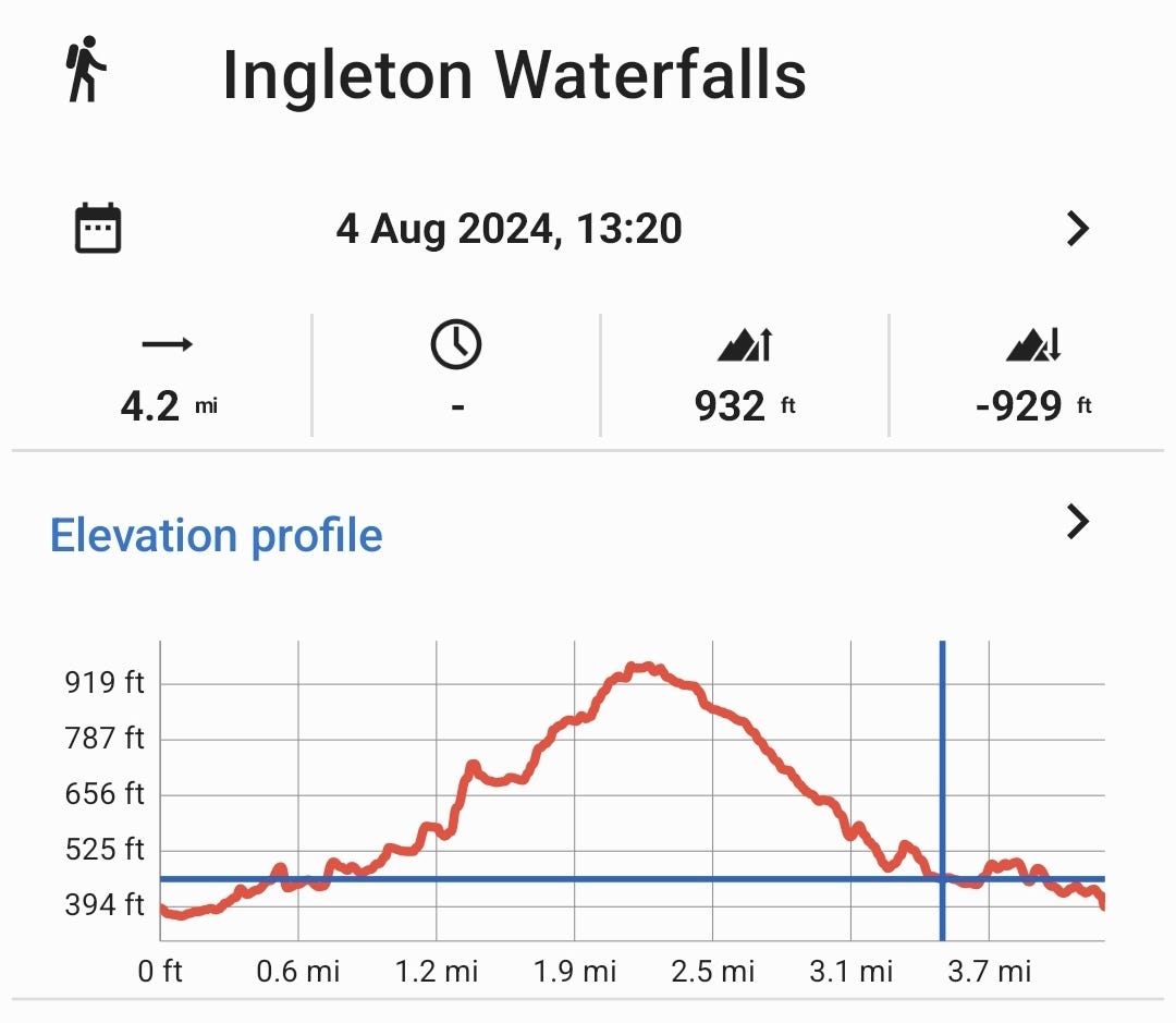
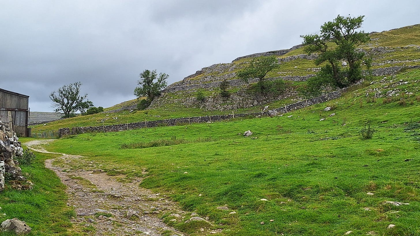
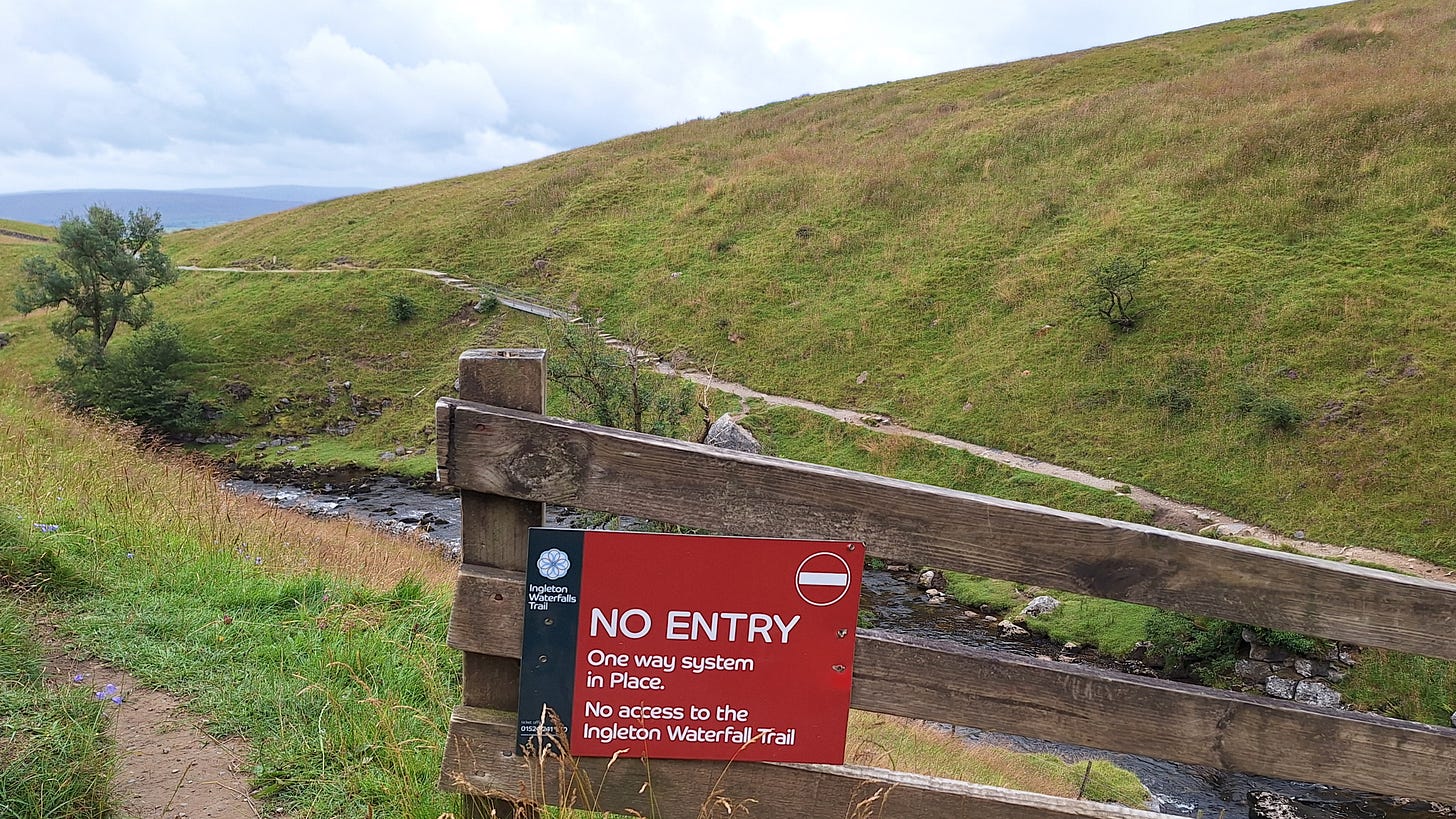
Next day I struck camp by 09.00, and the forecast was for wind and persistent rain from mid morning. But it was still dry so I had nothing to lose by heading for the Ingleton Waterfalls Trail. This is a 4.3 mile / 7 km path that takes about 2 to 4 hours to complete. You go clockwise from Ingleborough. The Western side is on private land, so there is a £10 admission, which includes parking.
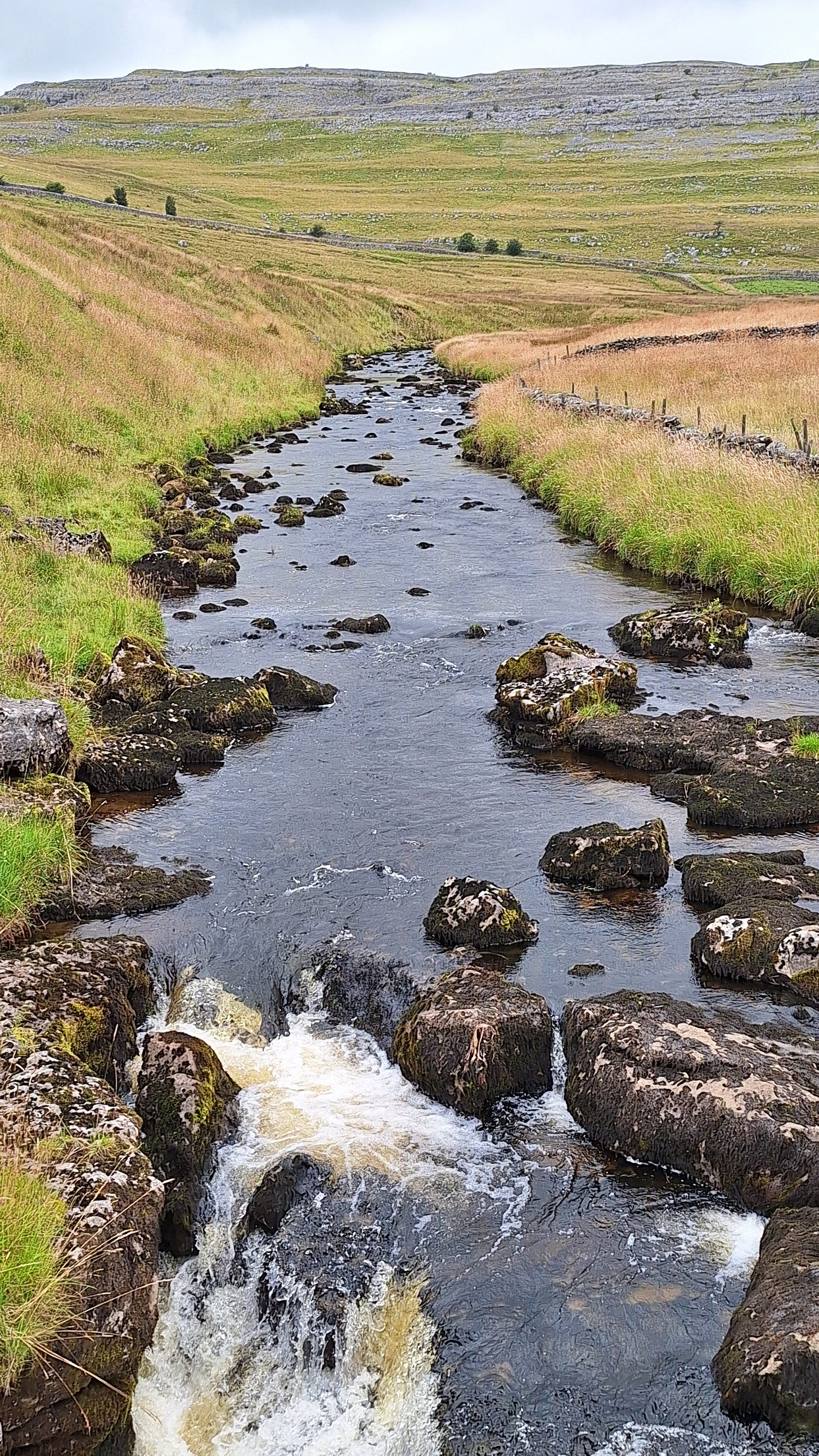
However, given the forecast I only wanted to see the main feature - Thornton Force. This has a drop of 50’ / 14m, and the limestone was laid down 330 million years ago.
If it’s not busy in the week, despite being a one-way path, some unscrupulous cheapskates have found there is nothing to stop you going the wrong way round… Scoundrels.
Thornton Force slow-mo:
There had been a lot of rain the night before.
Sound on:
A wall of rain was approaching Ingleton from the south-west, so I quickly headed back to the car. I checked the weather radar later, and it didn’t ease off for about another 4 hours.
Next stop was home, via the A65 cross-Pennine route.
Next time
I’m looking further afield towards Wales and the Brecon Beacons or Snowden Range for next time. But that may have to wait until next year.
Suggestions are welcome if you know the area, but preferably not Snowden as I climbed it two years ago.
Tune in next time for more on IgG4 class switching mechanisms, with a look into macrophage priming.
Thank you for reading, I hope you enjoyed it, and for your ongoing support.









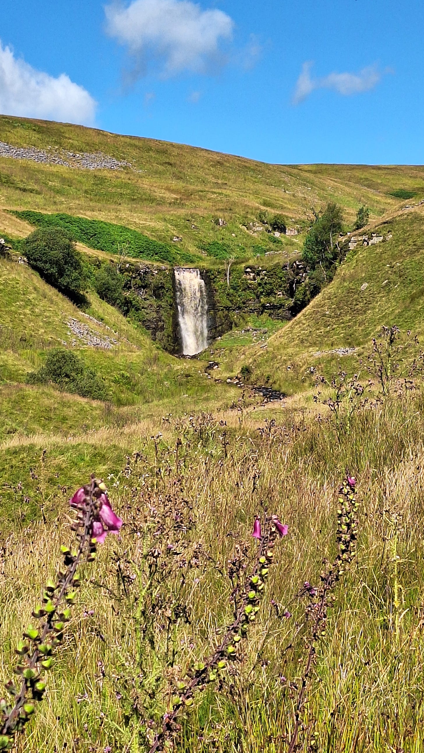

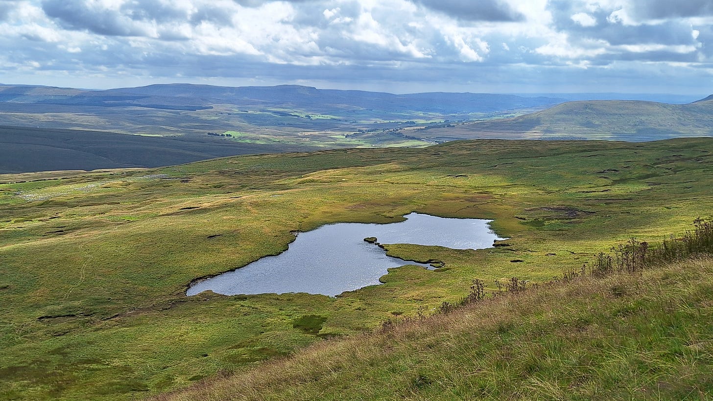
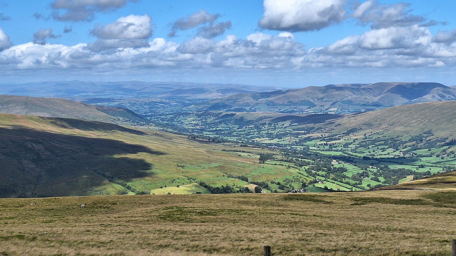



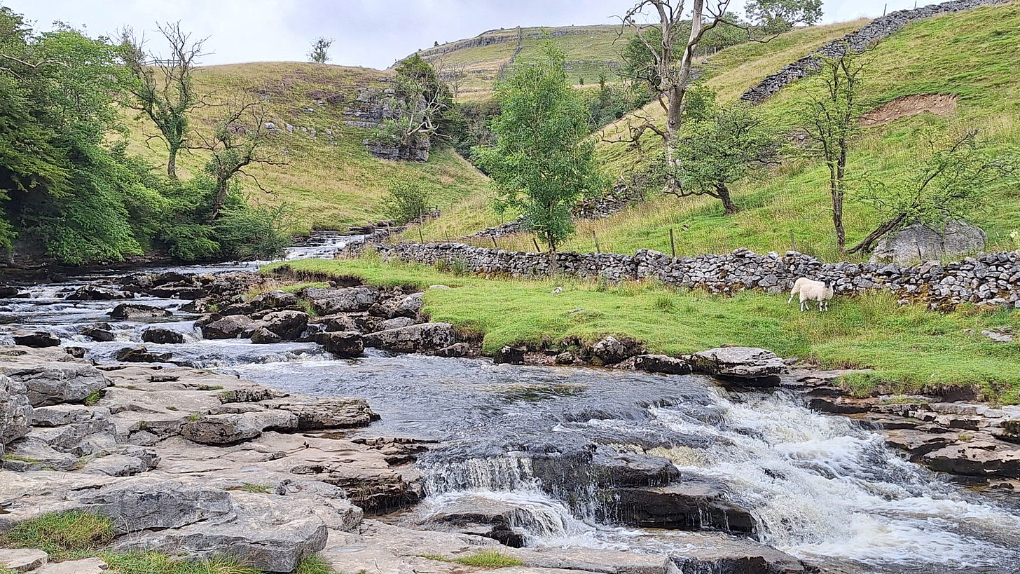
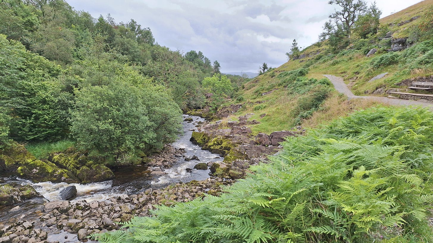
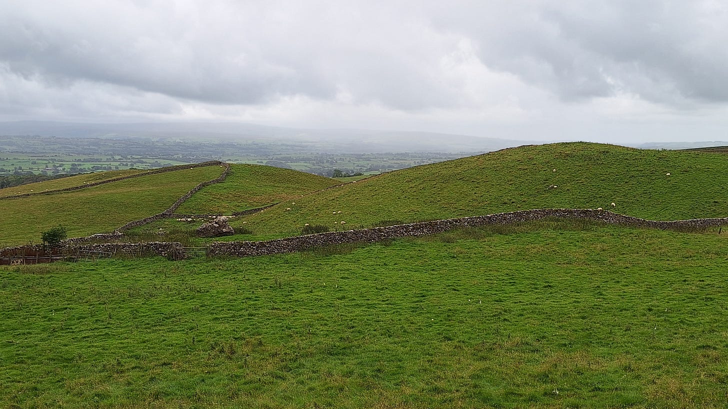


In Tropical South Scotland last week:
Heat-exhausted father and son rescued from camping trip after running out of water
https://www.msn.com/en-gb/news/world/heat-exhausted-father-and-son-rescued-from-camping-trip-after-running-out-of-water/ar-AA1oIkKj
Substack didn't email me about this one, it seems. Great photographs!