short story - novelette - novella - novel - PhD thesis - War and Peace - U.S. Tax Code
Any extracts used in the following article are for non-commercial research and educational purposes only and may be subject to copyright from their respective owners.
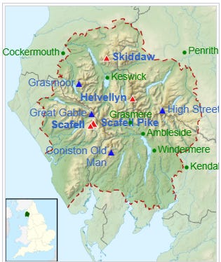
Wainwrights are the 214 English peaks (known locally as fells) described in Alfred Wainwright’s seven-volume Pictorial Guide to the Lakeland Fells (1955–66). They all lie within the boundary of the Lake District National Park in Cumbria, and all but one (Castle Crag) are over 1,000 feet (304.8 m) in height.[a]
Over two million copies of the Pictorial Guides have been sold since their publication.[1] In 1974, Wainwright published a supplementary volume The Outlying Fells of Lakeland (1974), which includes another 116 summits (described in 56 walks); these are the Wainwright Outlying Fells.[2][3]
Summiting all of the Wainwrights is a popular form of peak bagging in the Lake District, along with the Birketts. Because both lists are based on historical books, unlike, for example, the Munros, their constituents remain fixed, regardless of revisions to height or other metrics.
There are 214 Wainwrights, of which 209 are also classed as one of the 541 Birketts. Wainwrights cover a wide range of heights, from major mountains such as the highest Wainwright, Scafell Pike at 978 metres (3,209 ft), to Castle Crag, the smallest Wainwright at 290 metres (951 ft).
Alfred WainwrightMBE (17 January 1907 – 20 January 1991), who was widely known as AW, penned 7 beautifully written guides. Even some 60 years later, mountains don’t change that much, and I found books 3 and 7 really useful for planning.
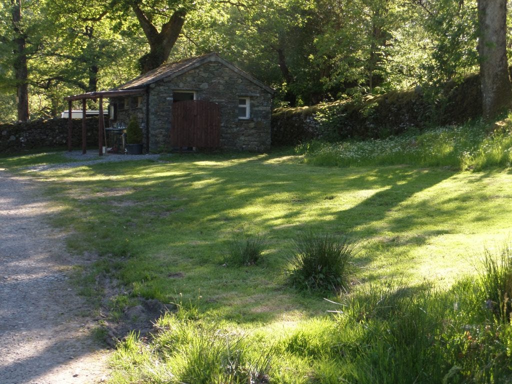
If you feel inspired enough to pay a visit, I recommend booking your accommodation or pitch at least 4 weeks in advance, especially for weekend arrivals.
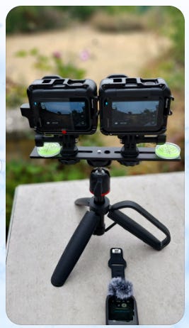
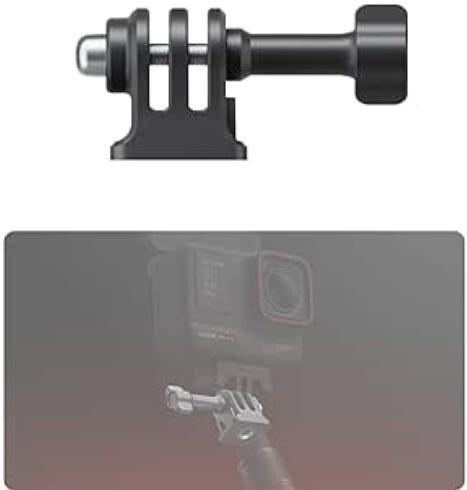
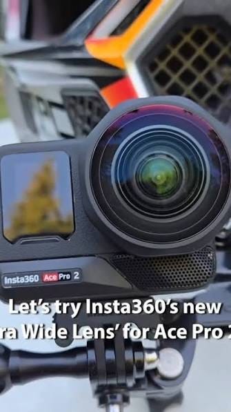
I also brought my homemade 3D stereoscopic rig along for field testing. I’ve equipped 2 Insta360 Ace Pro2 action cams with 189° fisheye lenses, and use a GPS Preview Remote control watch/mic for synchronous shutter firing.
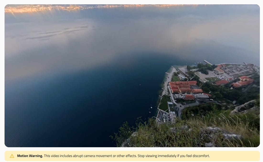
I’m using DaVinci Resolve 21 to combine the images and for post-processing, to create VR180 4k/8k 3D hemispheres you can look around using any VR headset. Early results are very encouraging, and when I’m happy with the results, I will share them on Steam’s free DeoVR platform, as Substack isn’t geared to support 3D output.
Some of the mono 2D movies are featured below.
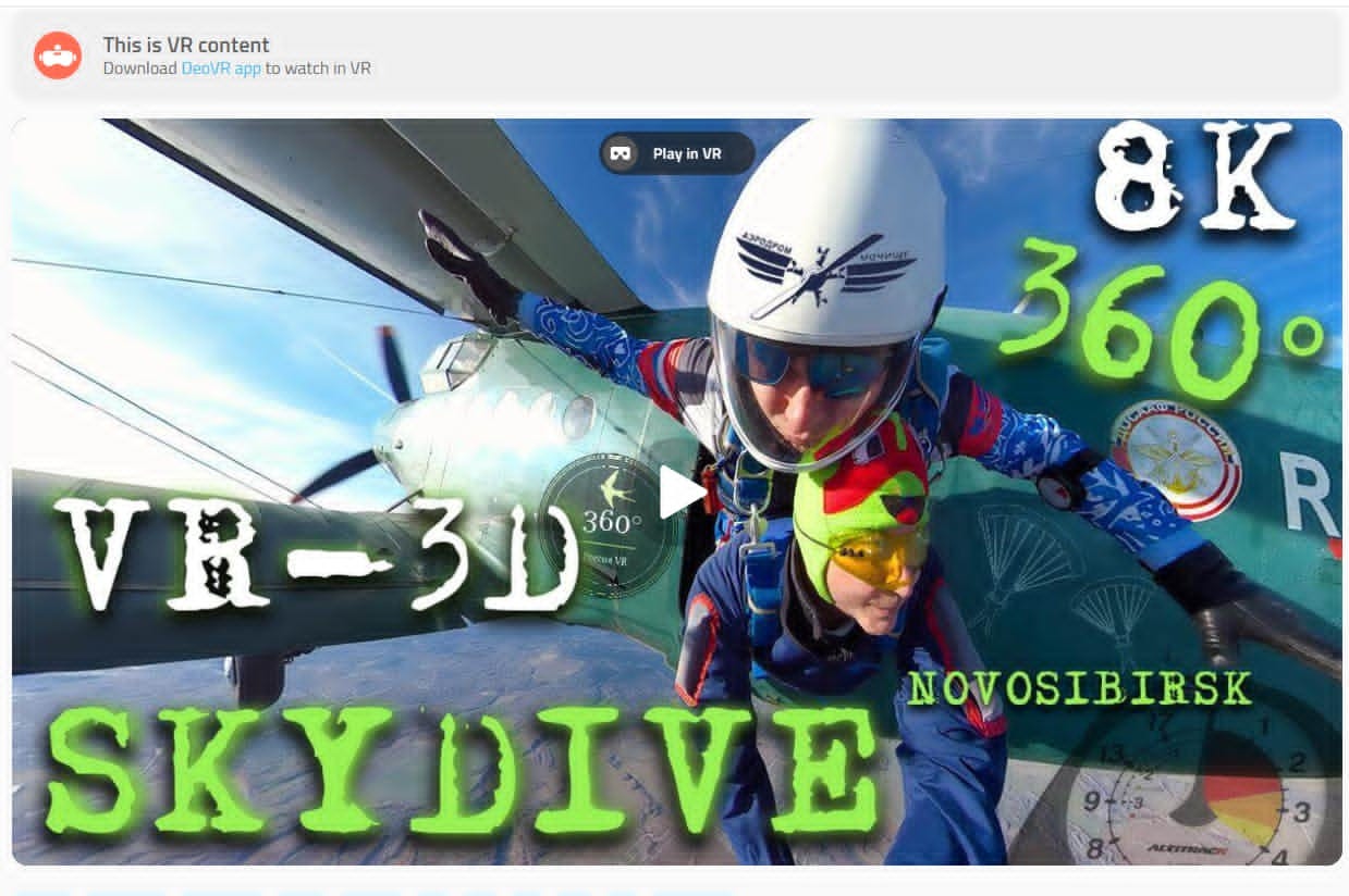
DeoVR has all sorts of virtual experiences to test your stomach with, including BASE jumps and free-fall parachuting.
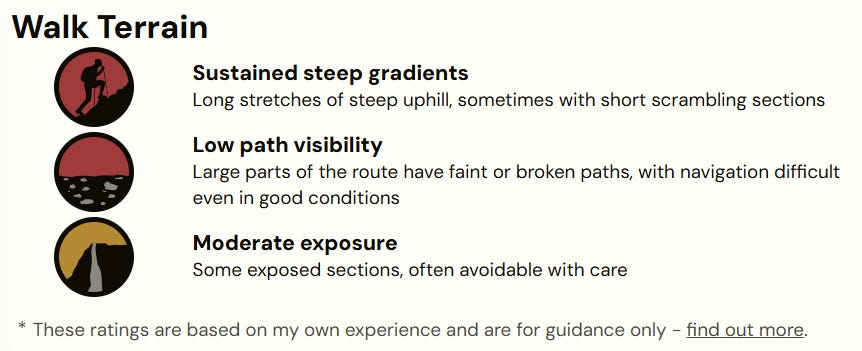
I wasn’t doing anything as extreme as that, but there were times when you really needed to watch where you were placing your hands and feet.
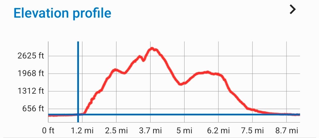
Conditions were far from ideal for the exertions of hiking, reaching 25-26°C both days, and with the humidity boosted to 65% RH by a thunderstorm the night before. With virtually no clouds or shade, it meant lugging 3.5L of water for the first hike (more on this later). Even the summits were at 20°C, with barely a breeze for comfort.
After last year, you might be thinking that summertime in the lakes is always like this.
But no, this run of El Niño-influenced weather is very much the exception.
Ordinarily, you must travel prepared for low cloud, drizzle (“Scotch mist”), downpours, and temperatures in the teens.
Snow is possible on the peaks from November to May.
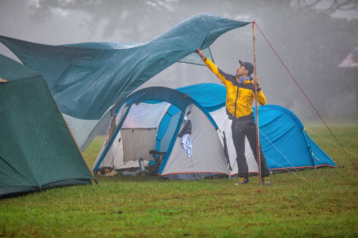
My tent got flattened by a gale on the first failed attempt at Skiddaw one April, with a blizzard thrown in for good measure, and you usually need to plan a valley or lakeside walk for those days when the fells are cloaked in cloud.
This time, the walks were in the central fells area:
Borrowdale rainforest national nature reserve (NNR)
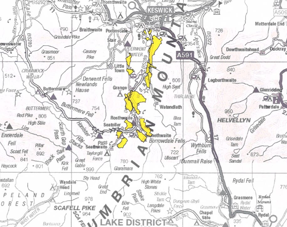
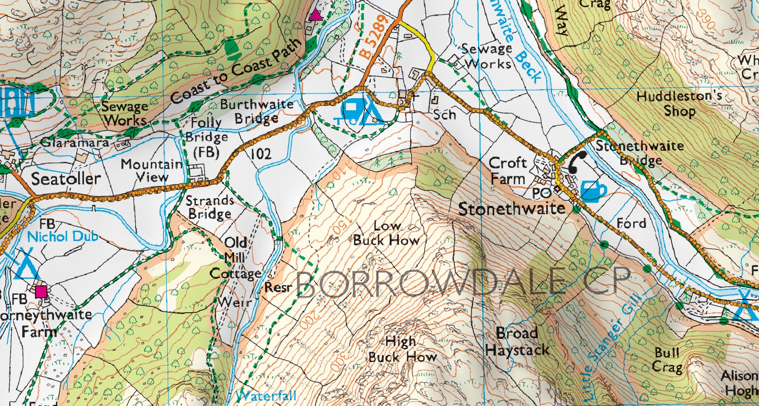
On 16th May 2024, parts of Borrowdale were declared to be one of England’s largest and rarest temperate rainforests. Covering some 721 hectares, the campsite lies at the southern end of the NNR.
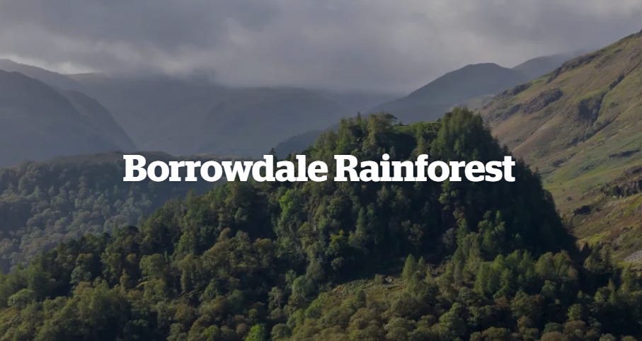
Did you know that there’s a rainforest in England? Borrowdale Rainforest, or Borrowdale Oakwoods as it’s also known, is one of the largest areas of temperate rainforest in England. This National Nature Reserve is one of the rarest habitats in the world, home to a diverse array of animal and plant life.
Rather than referring to just one area, the Borrowdale Rainforest refers to several woodland areas in the Borrowdale valley, Lake District. Work is currently underway to reconnect these areas, creating more of this unique habitat.
The high rainfall that this area experiences creates a humid climate, allowing lush woodland to thrive. Here, you’ll find an array of mosses, ferns, and lichen, plus ancient oak trees. It’s free to explore this National Trust site and they’re perfect for walks, even when the weather isn’t on your side!
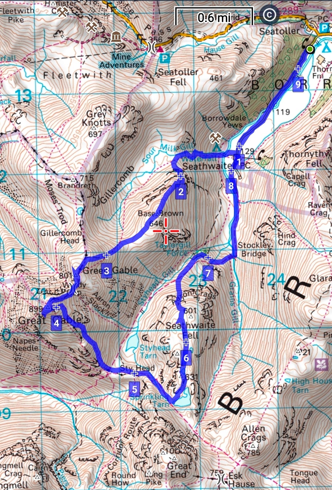
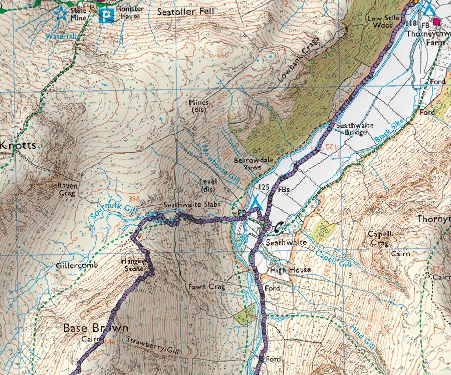
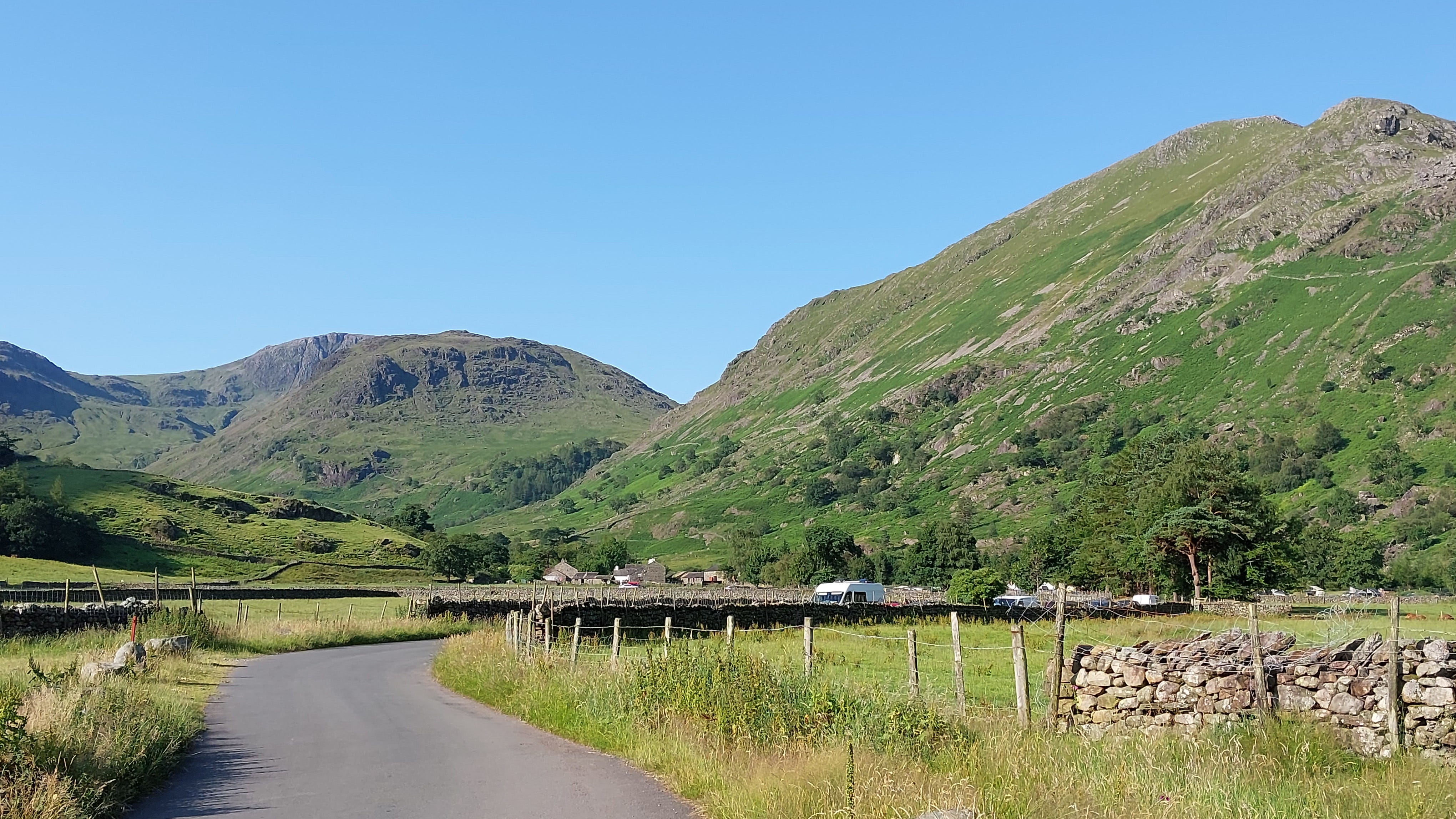
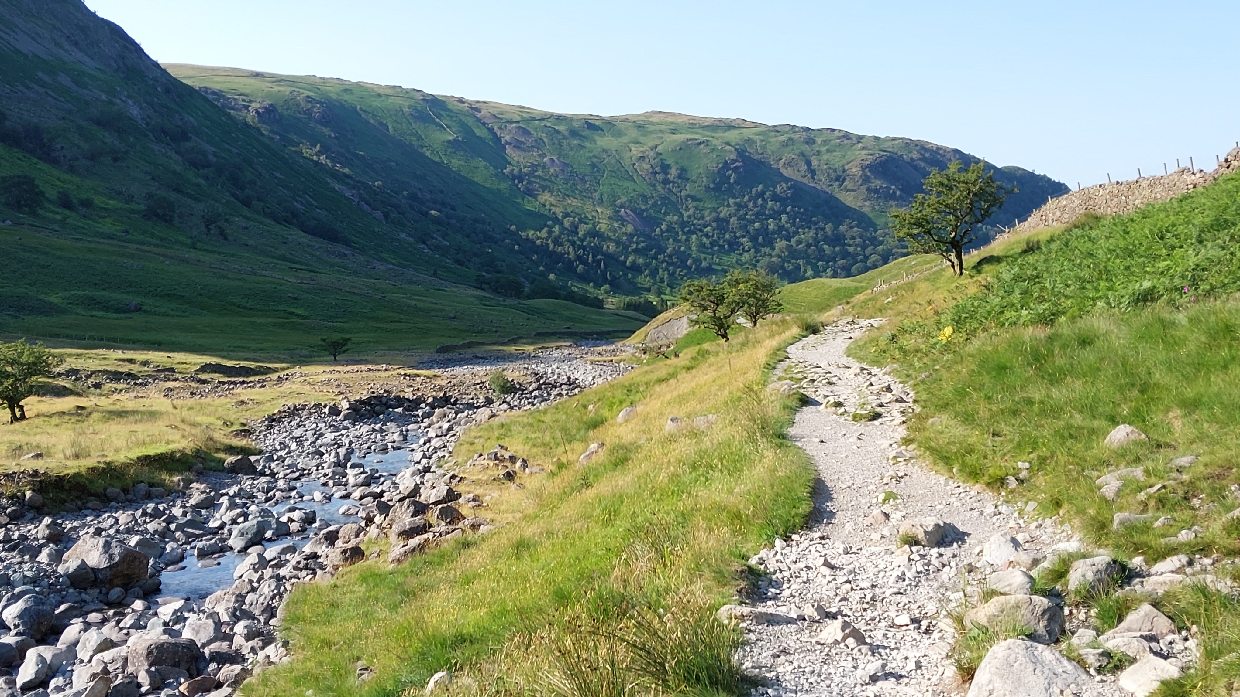
An easy one-mile warm-up walk along the road to Seathwaite.
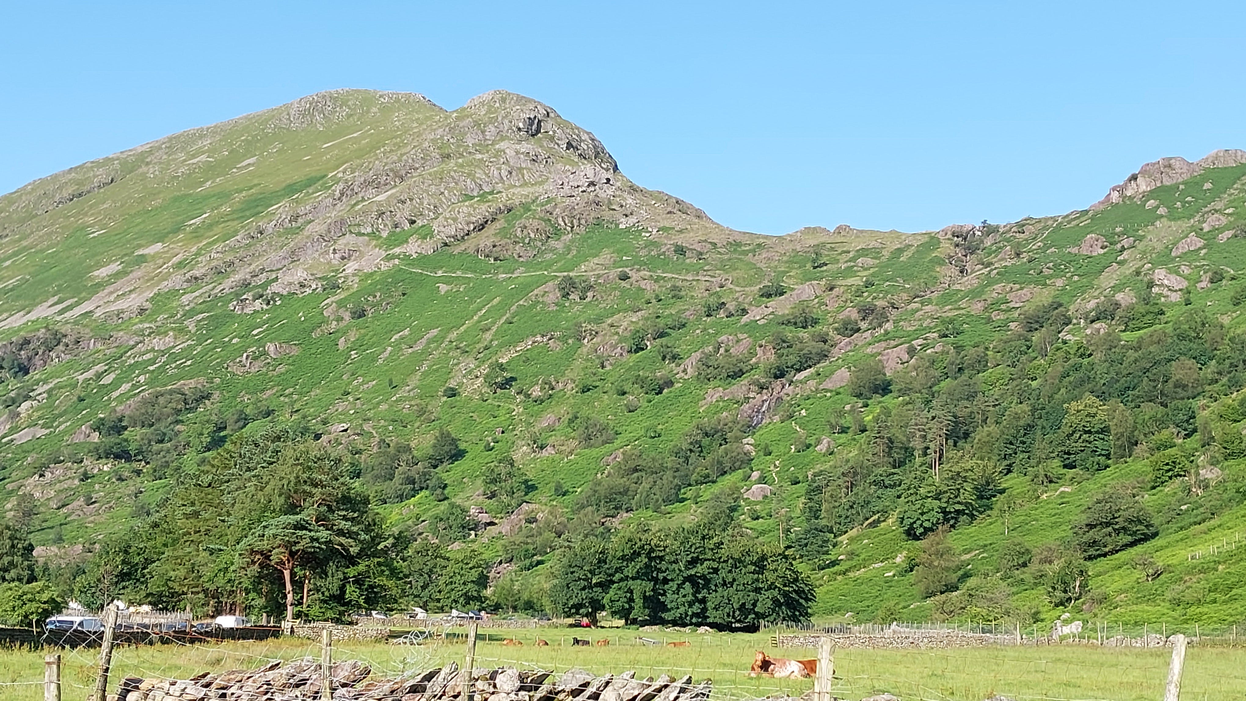
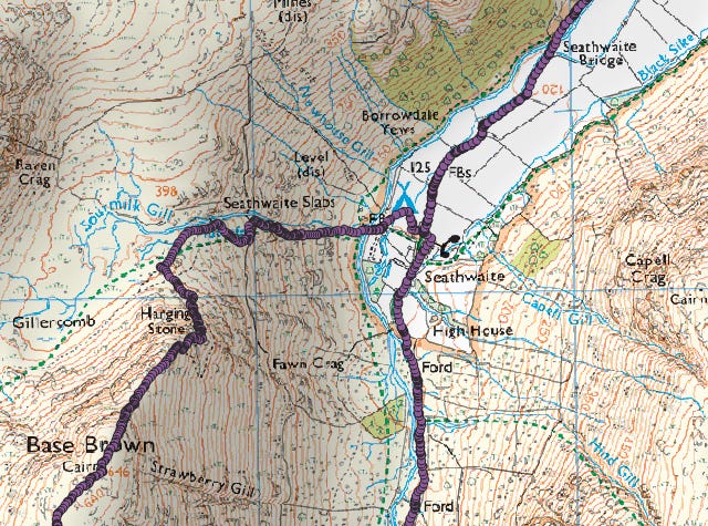
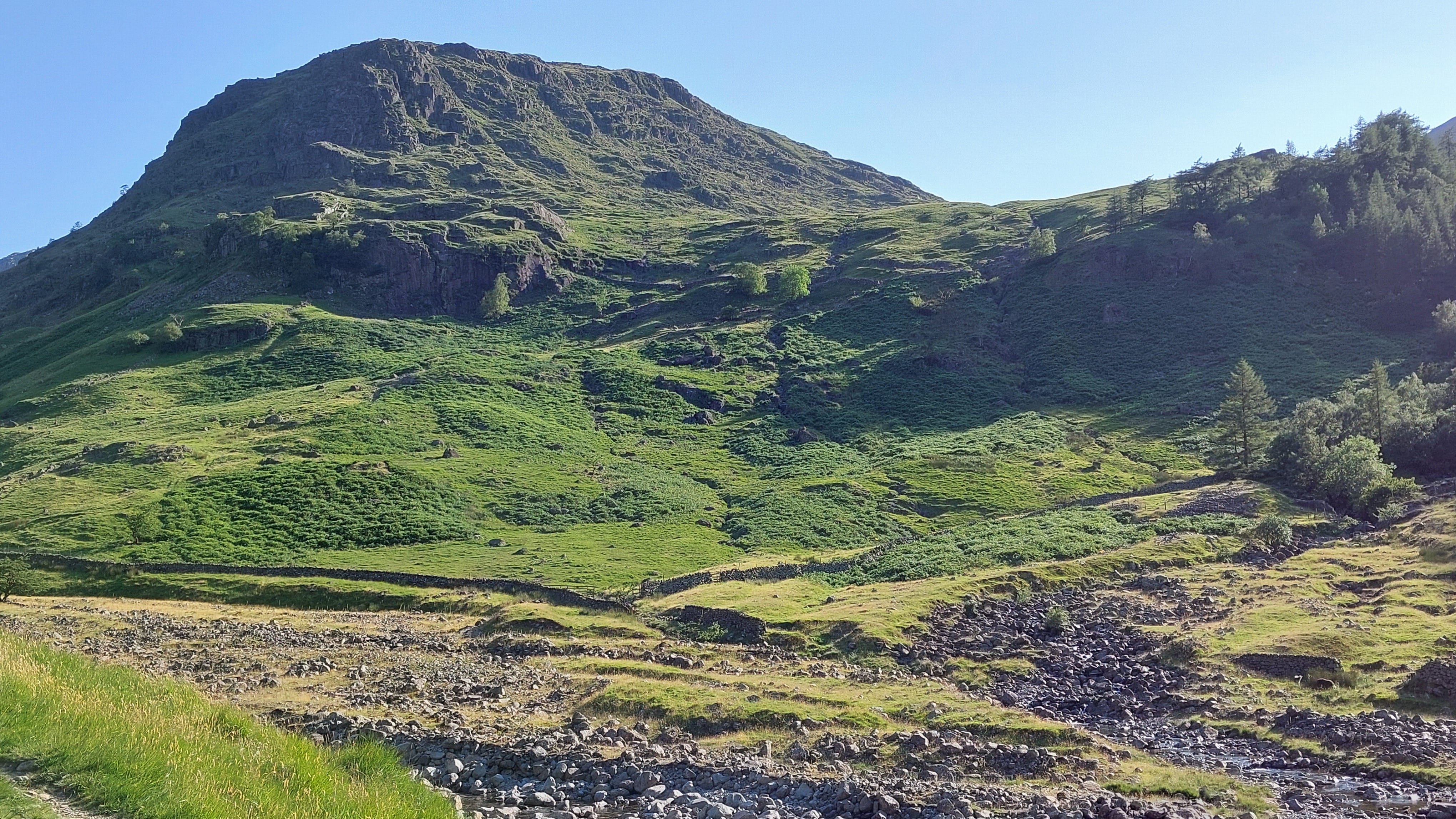
Ascent route up Sourmilk Gill, just right of centre. The crag on the left is before the summit of Base Brown, at the two mile mark.
I couldn’t go anywhere for 15 minutes, as sheep were being shepherded down from where I needed to be going up.
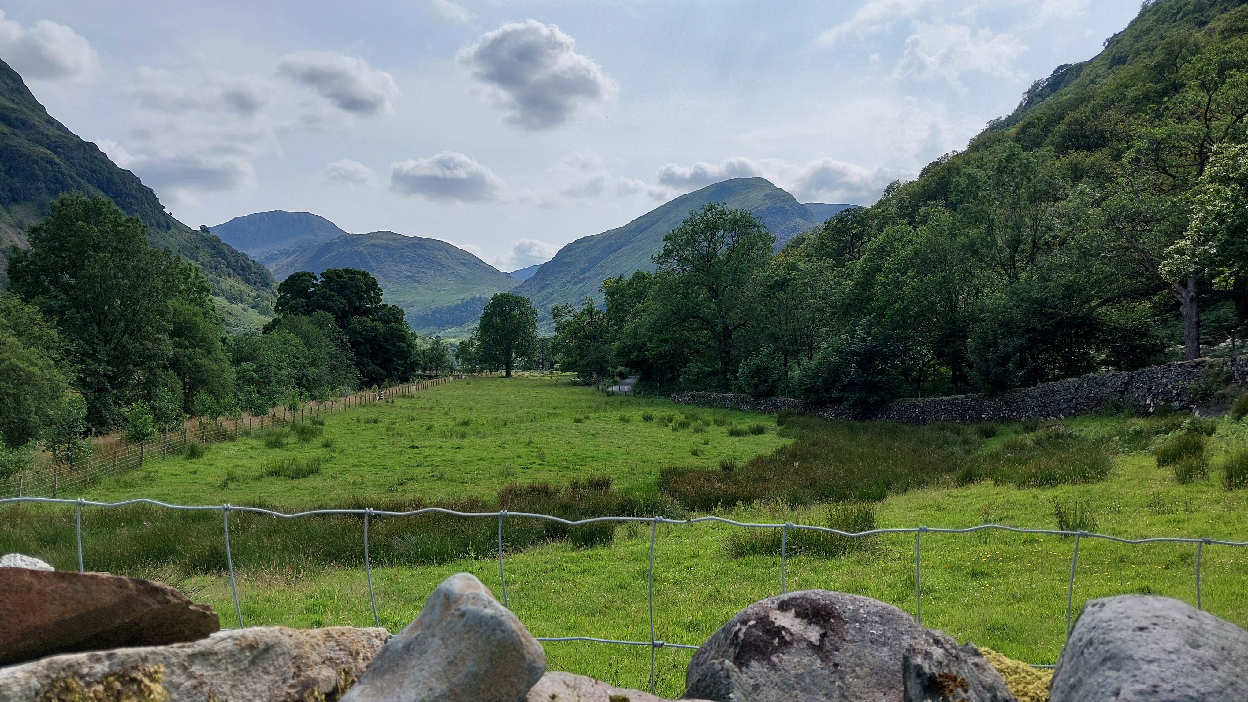
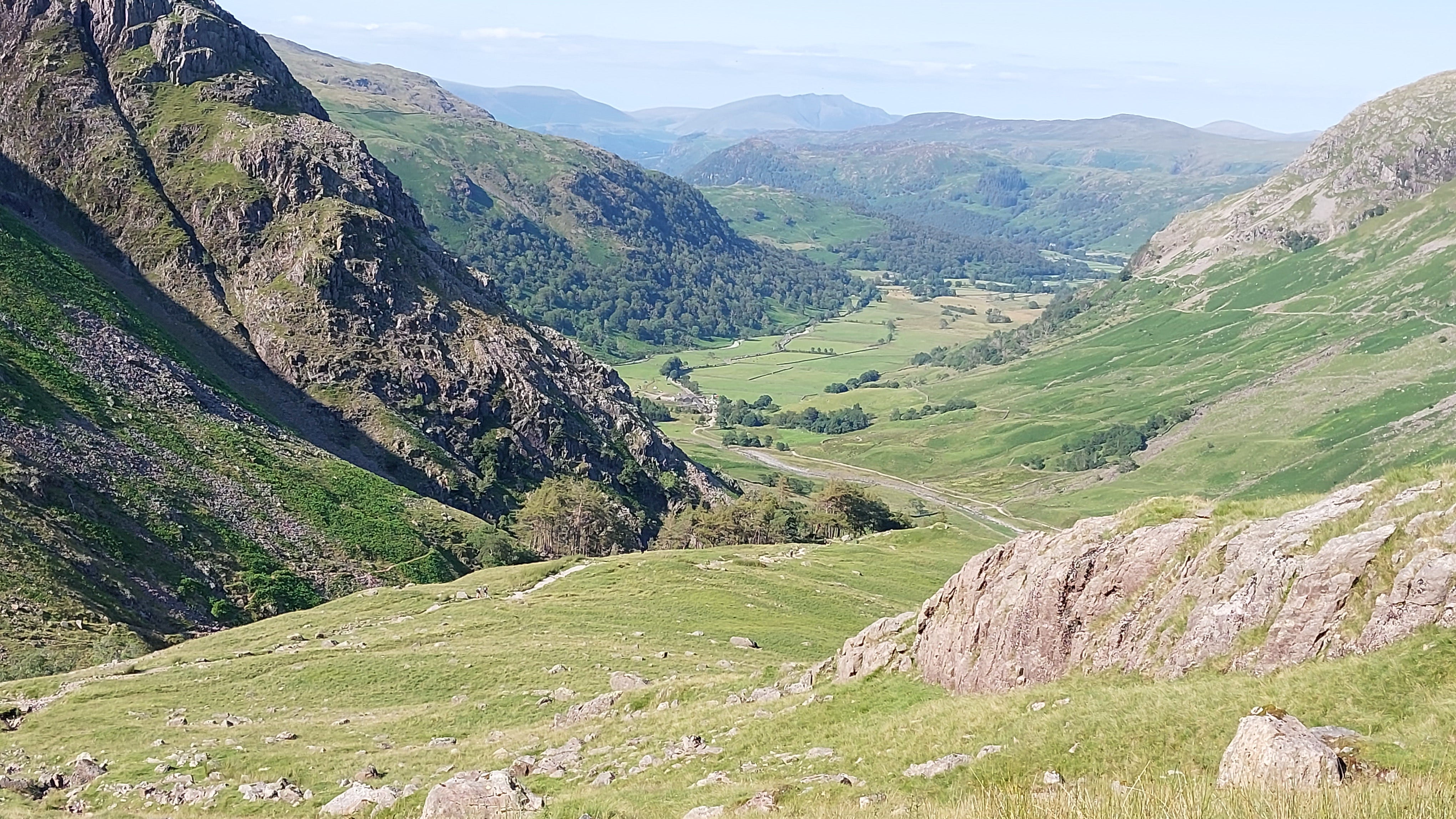
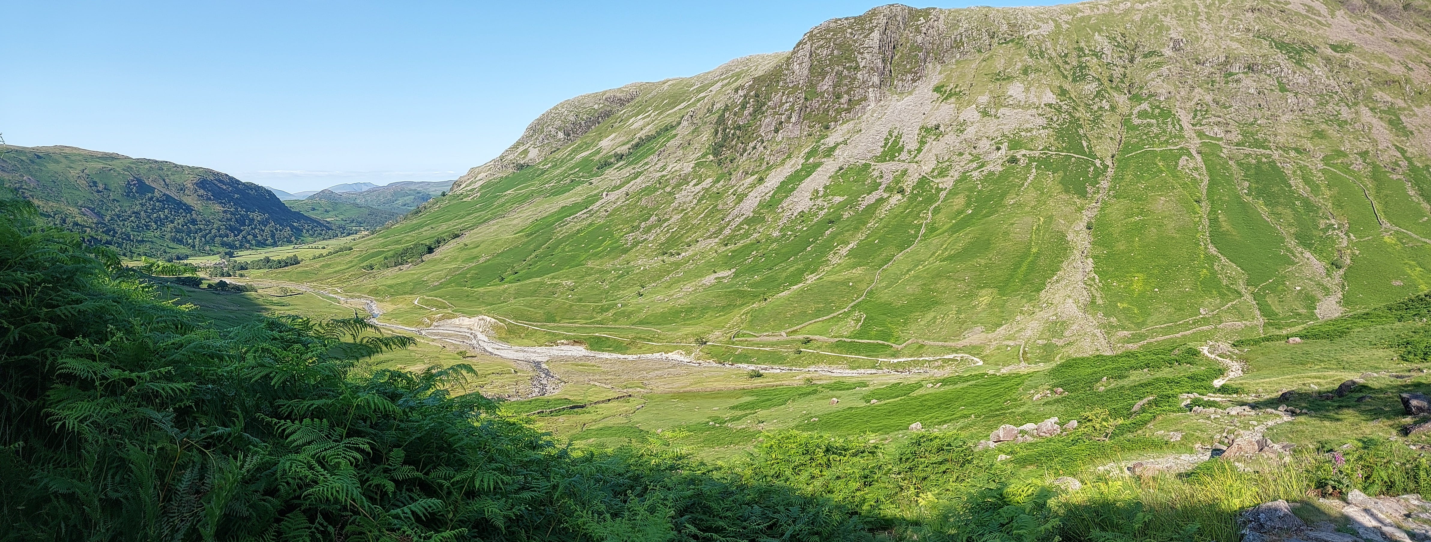
The view from Sourmilk Gill, looking north towards Seatoller.
I wasn’t in danger taking this shot, as I could see where my feet were, and the rock platform was substantial, but the sheer drop was real enough.
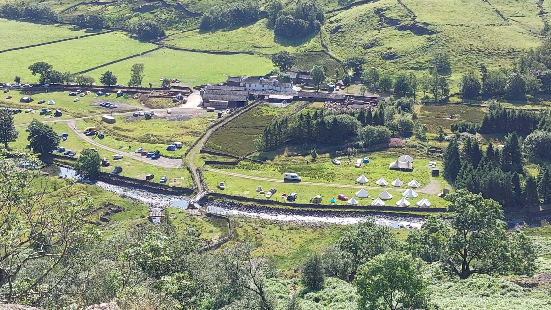
You can see the sheeprun and footbridge at the Seathwaite campsite. I’m not saying it was rough, but one of the residents likened the smell of the toilets to Indonesian latrines.
Waterfall on Sourmilk Gill. According to AW, you can climb up the north side of the gill up to the drystone wall, on the far bank, but you do need to ford the watercourse twice.
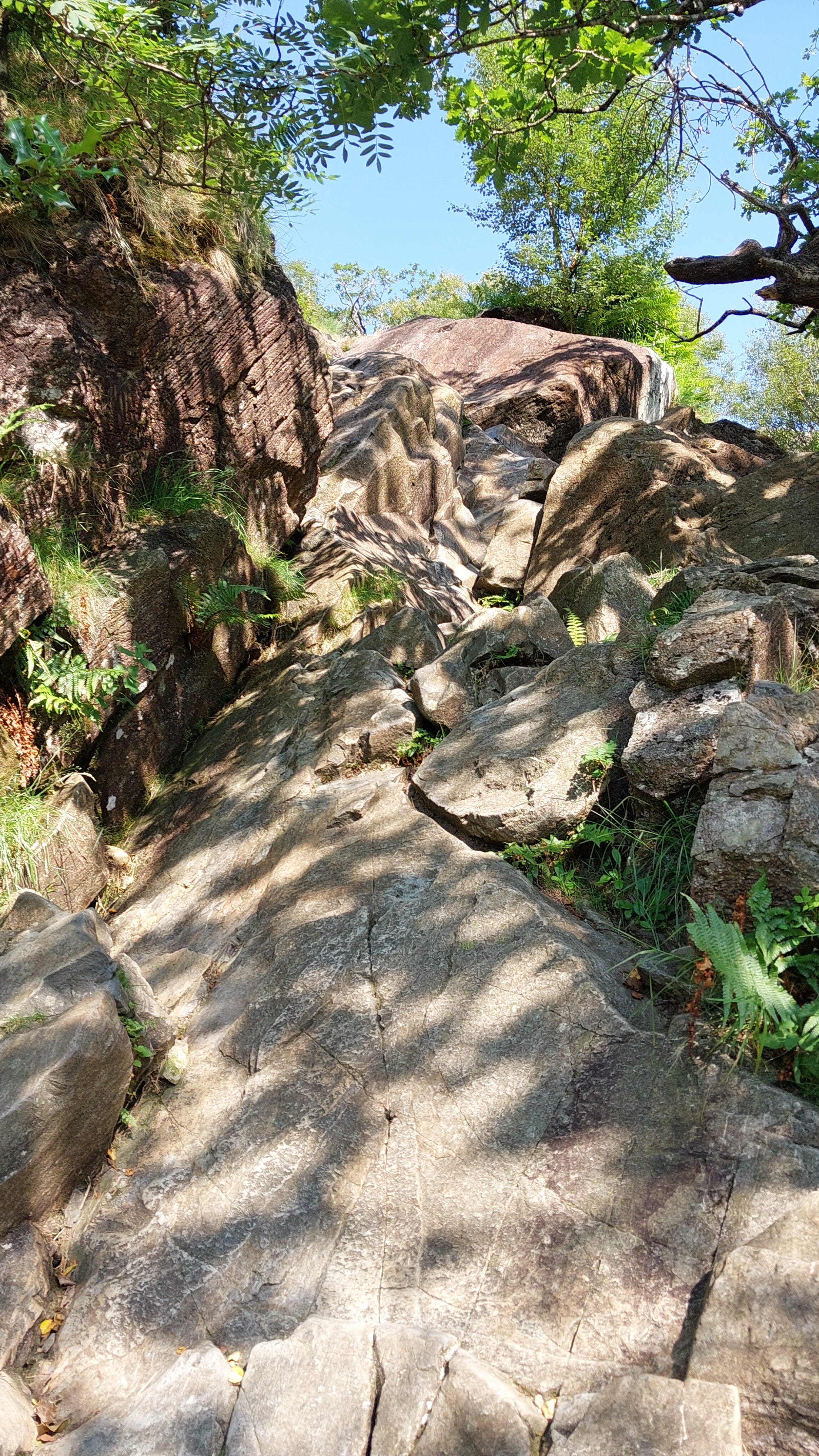
Scramble! The honeymoon was short-lived. Hand-on-rock climbing, with a fully loaded backpack. There was more of this to come.
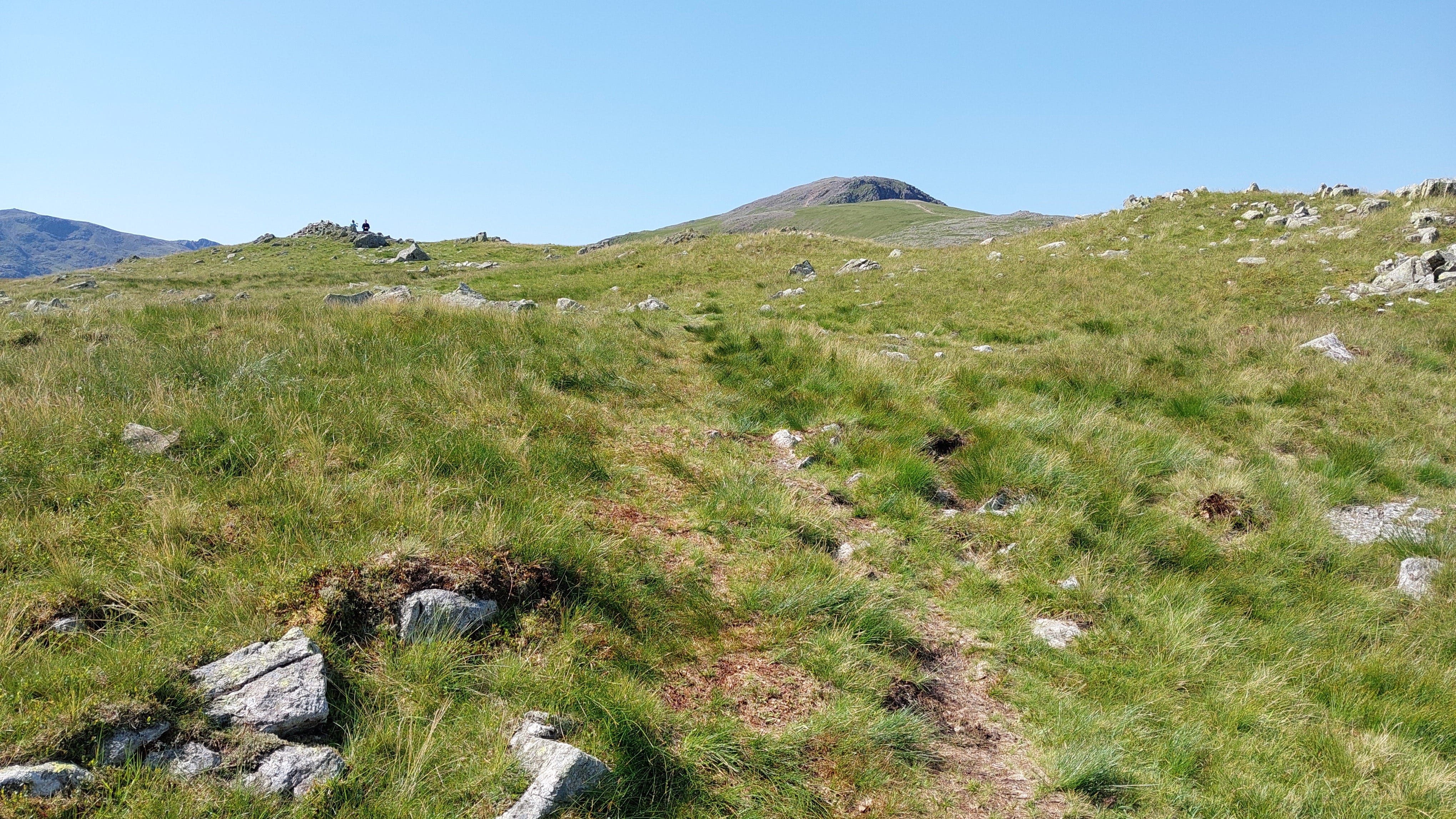
Finally made it to the ridge walk. You can see the summit of Base Brown.
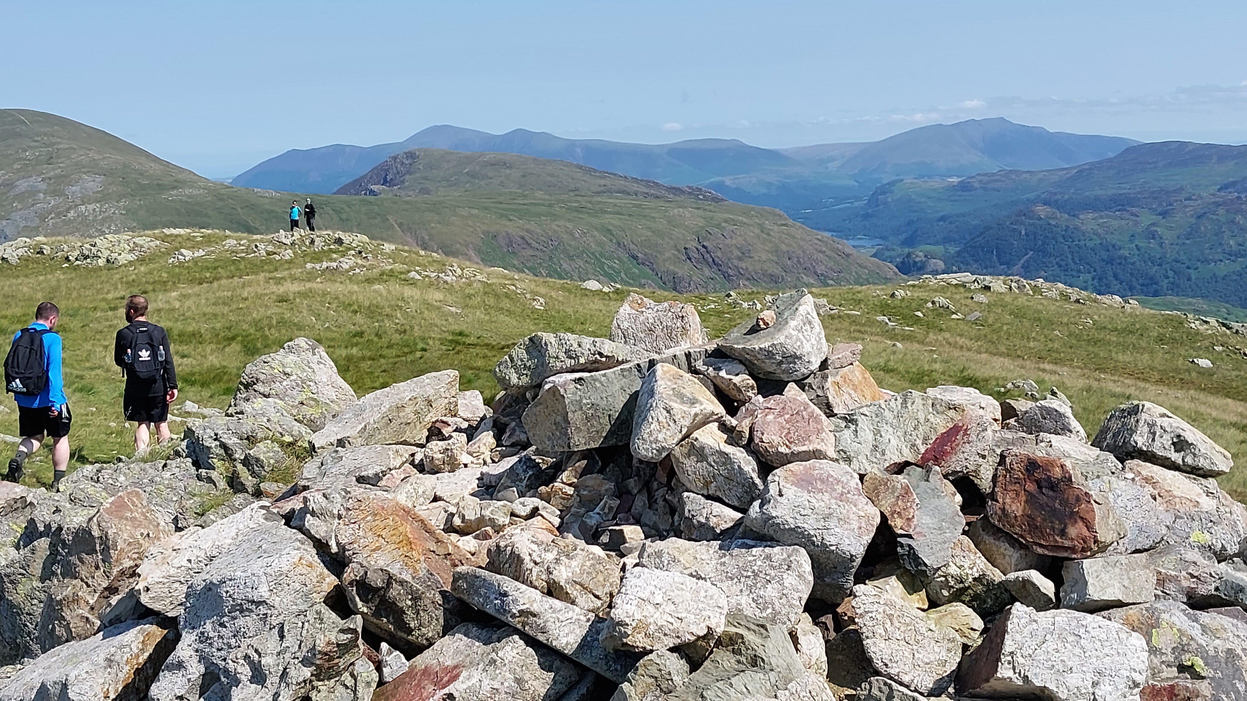
Summit cairn, with Borrowdale and Derwent Water retreating into the distance.
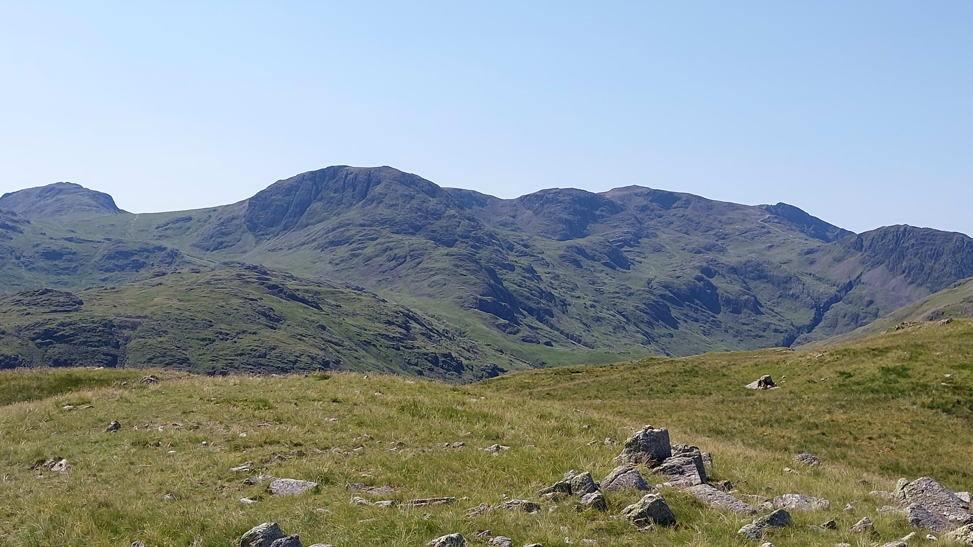
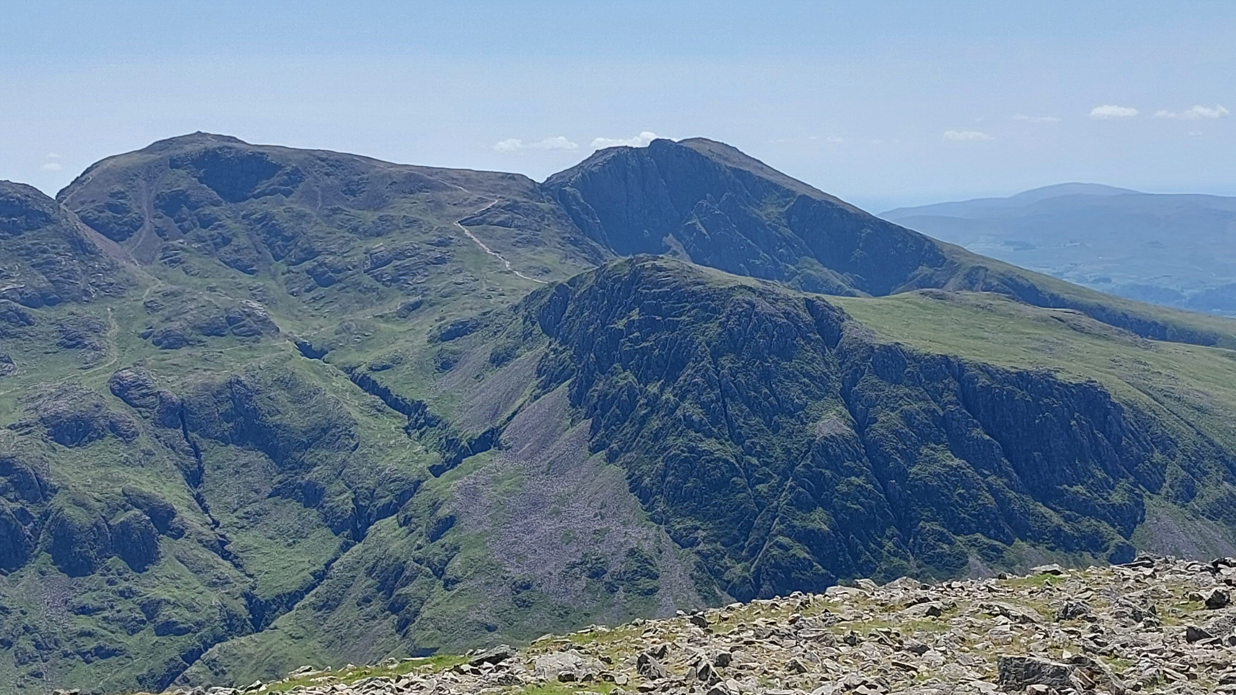
The Scafell range, looking directly south from Base Brown: Great End on the left, Broad Crag, Ill Crag, and Scafell Pike
Leg 2: Base Brown to Green Gable
Green Gable lies at the end of the twisty path, but you need to drop down 200’ first.
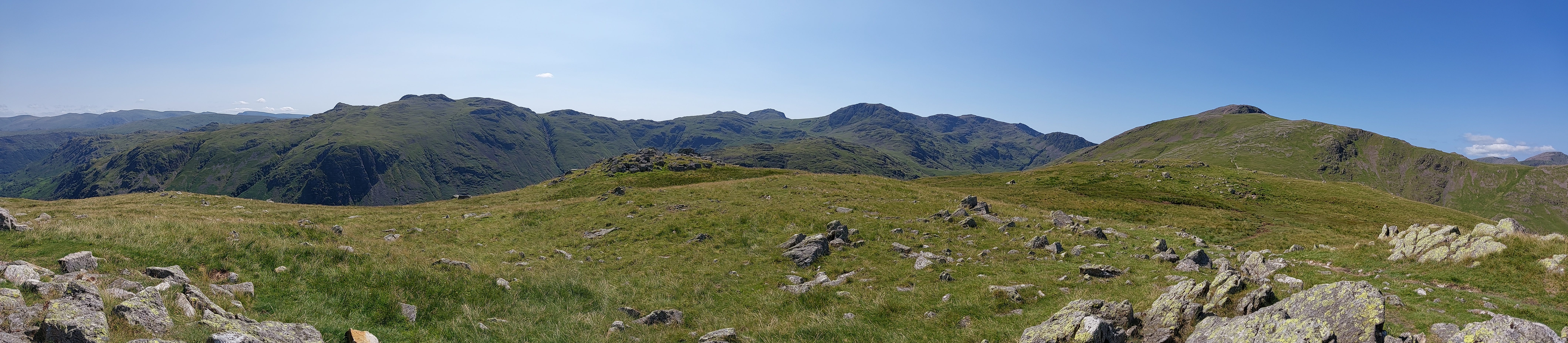
Panorama from the small Green Gable summit plateau.
Another view of the summit plateau and cairn.
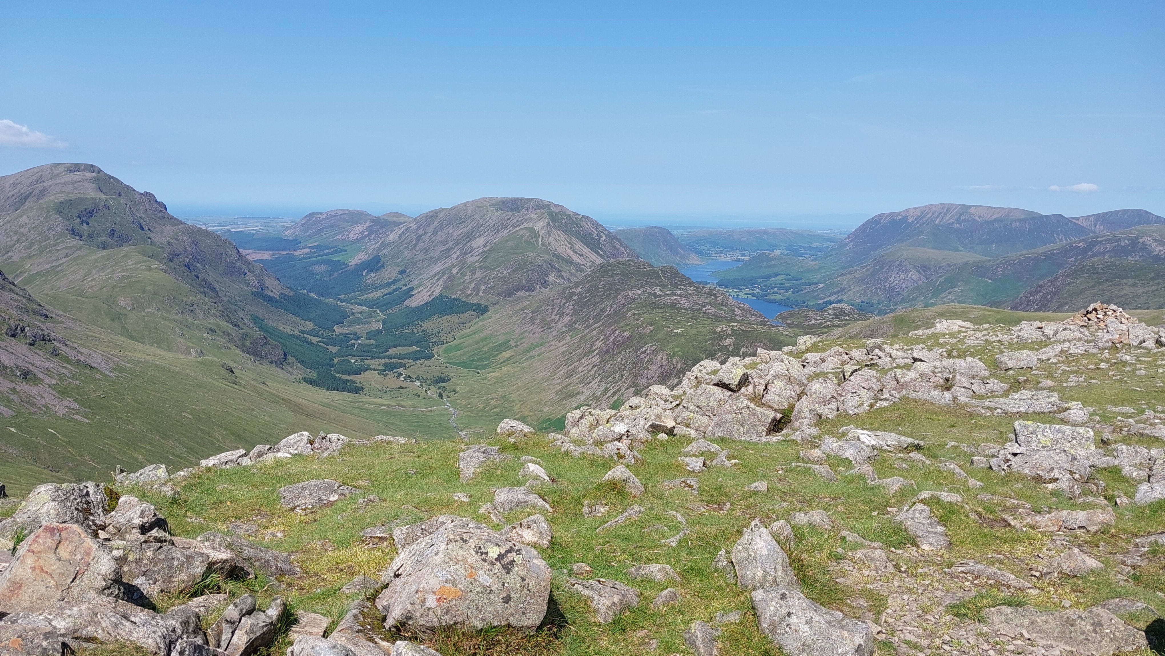
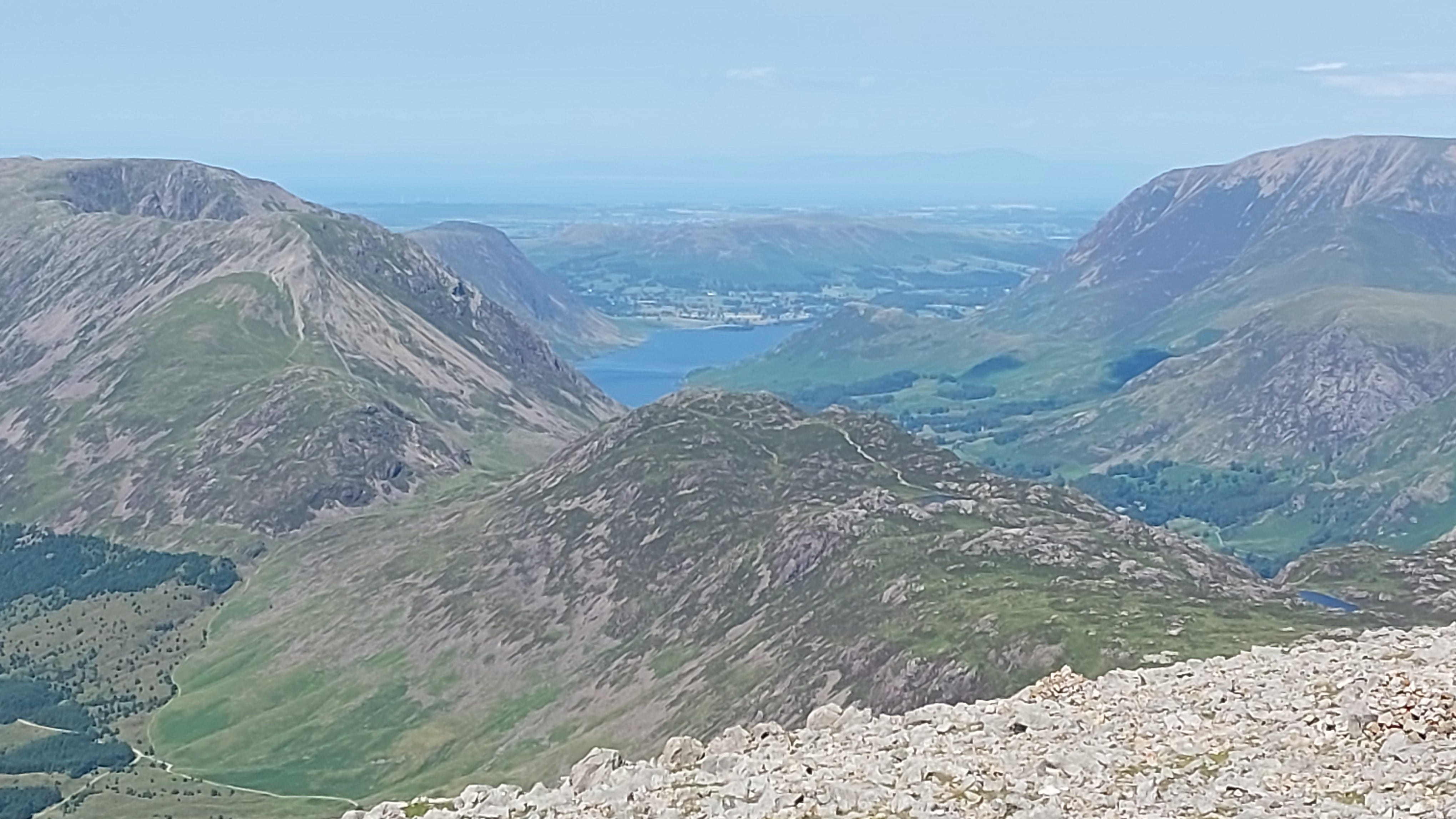
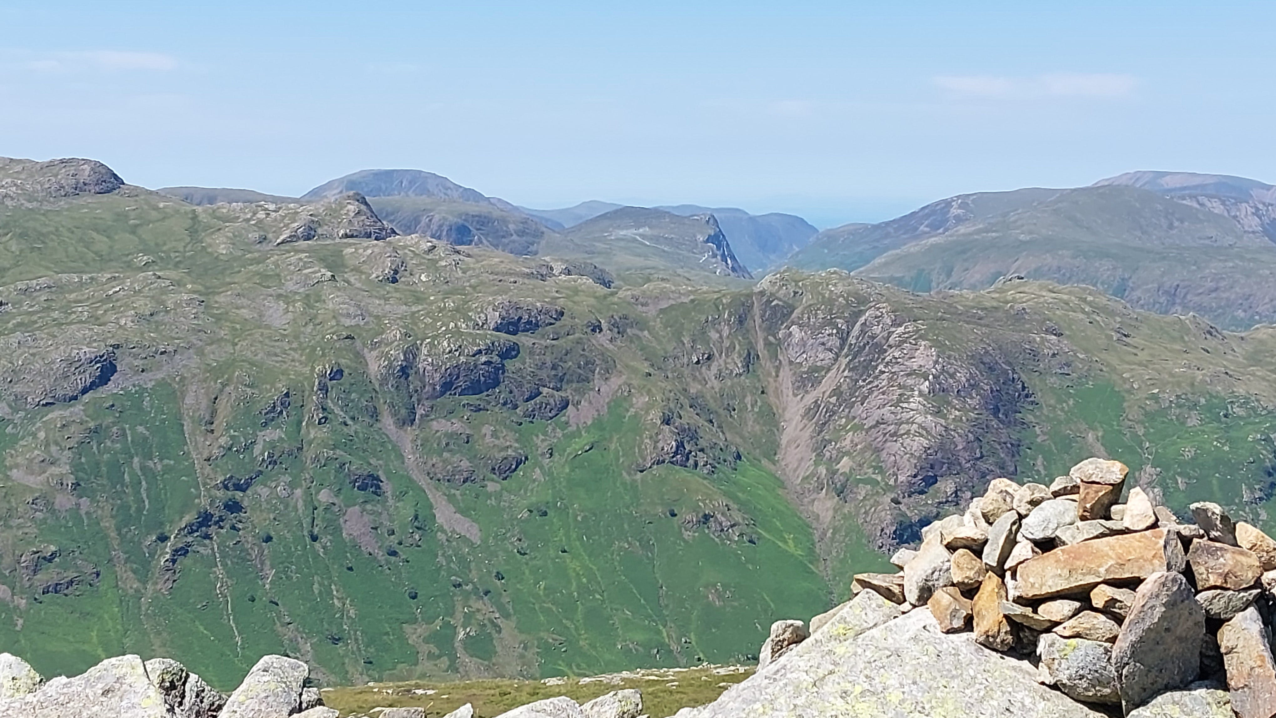
The valley on the left, looking west, is Ennerdale. To the right, looking northwest, is Buttermere, with Crummock Water beyond. The most notable peaks are Pillar on the left (892 metres, 2,927 feet) and High Stile on the other side of the valley, mid shot (807 metres, 2,648 feet). On the horizon is the Solway Firth, with Galloway Forest Park hiding in the mist, over the border into Scotland.
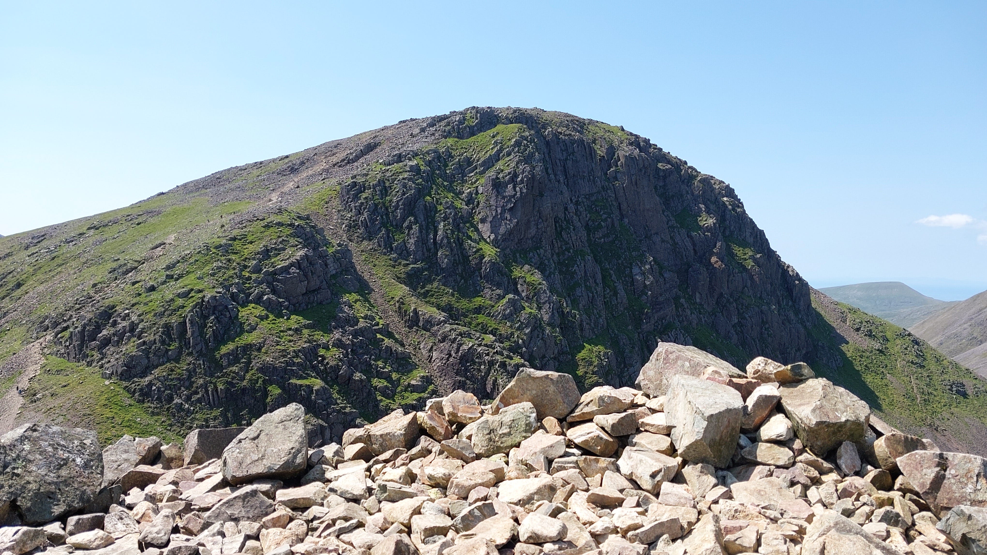
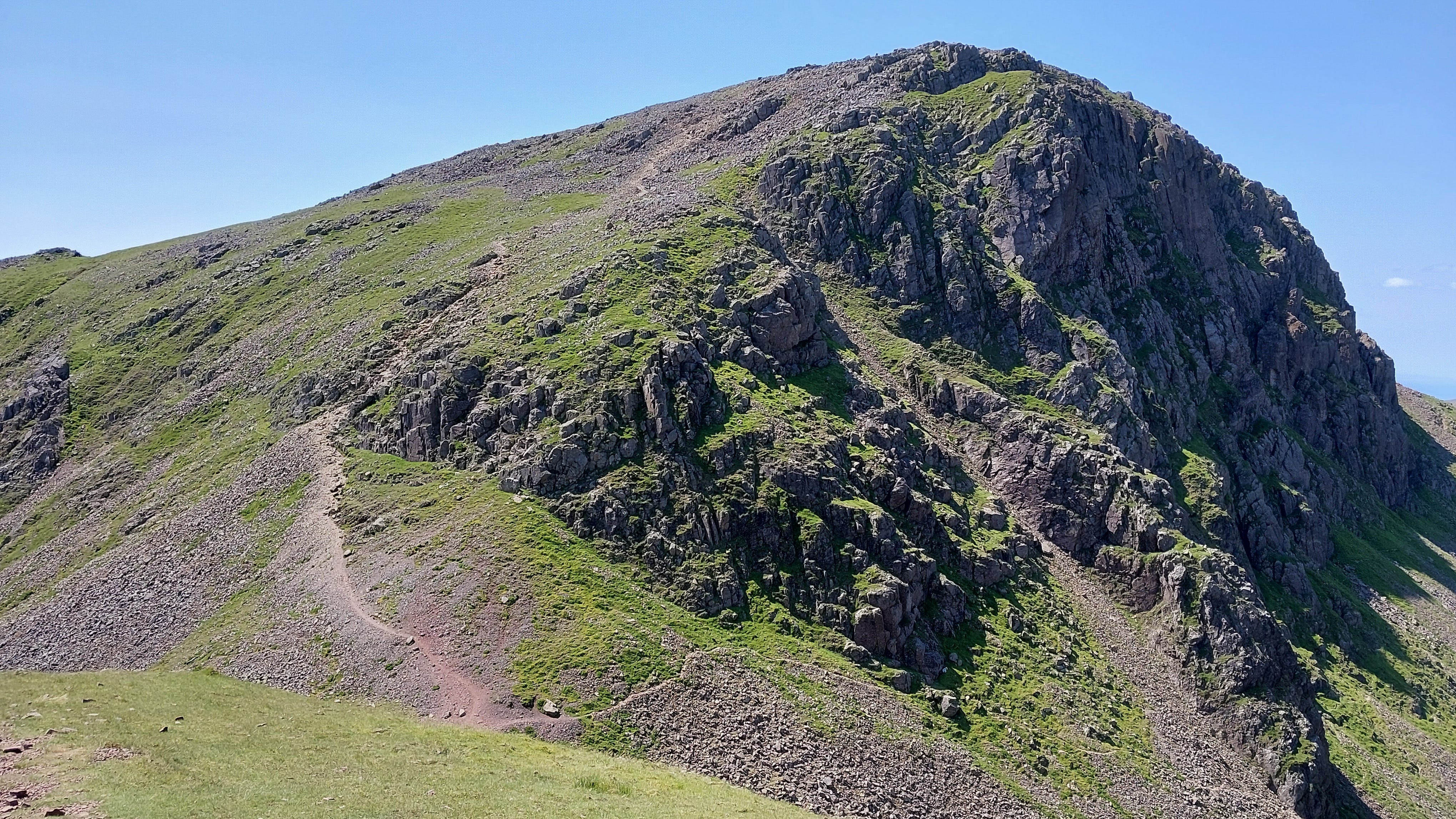
Looking southwest, you can see that the party is over. Gable Crag, with the summit path to the left, is waiting for you.
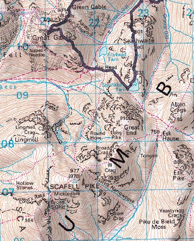
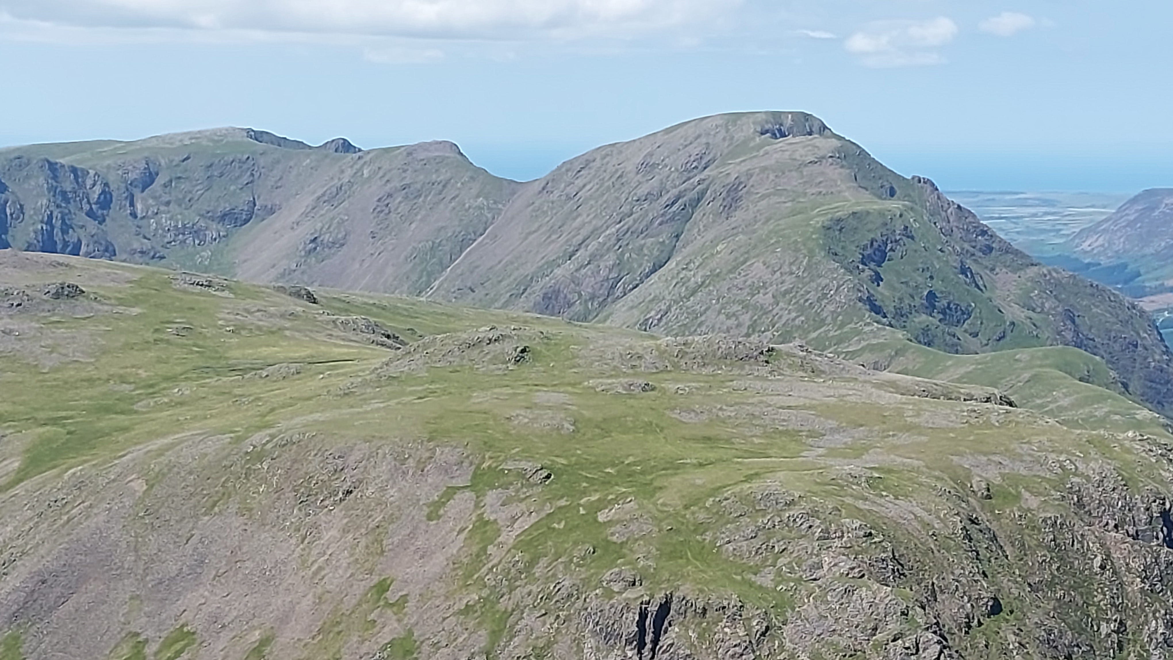
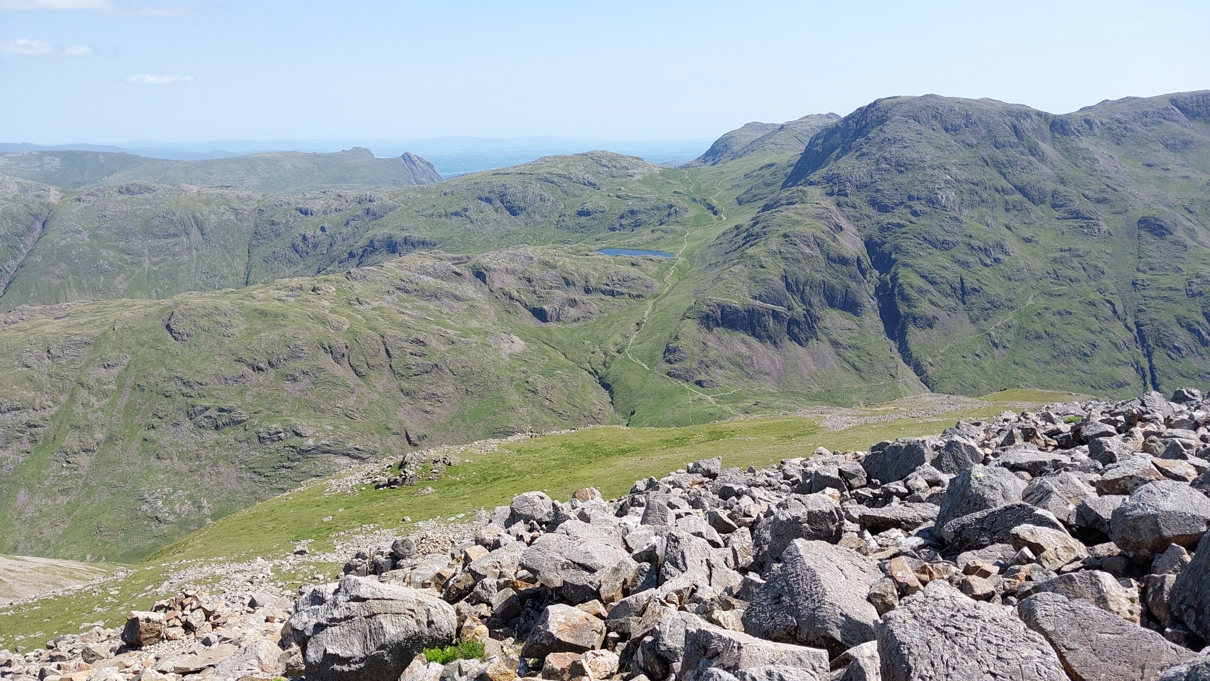
The path on the far side of the valley is where we are heading after Great Gable. To the left is Sty Head Tarn, with Seathwaite Fell on the left, and Great End to the right.
Leg 3: Green Gable to Great Gable
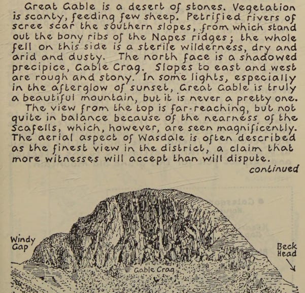
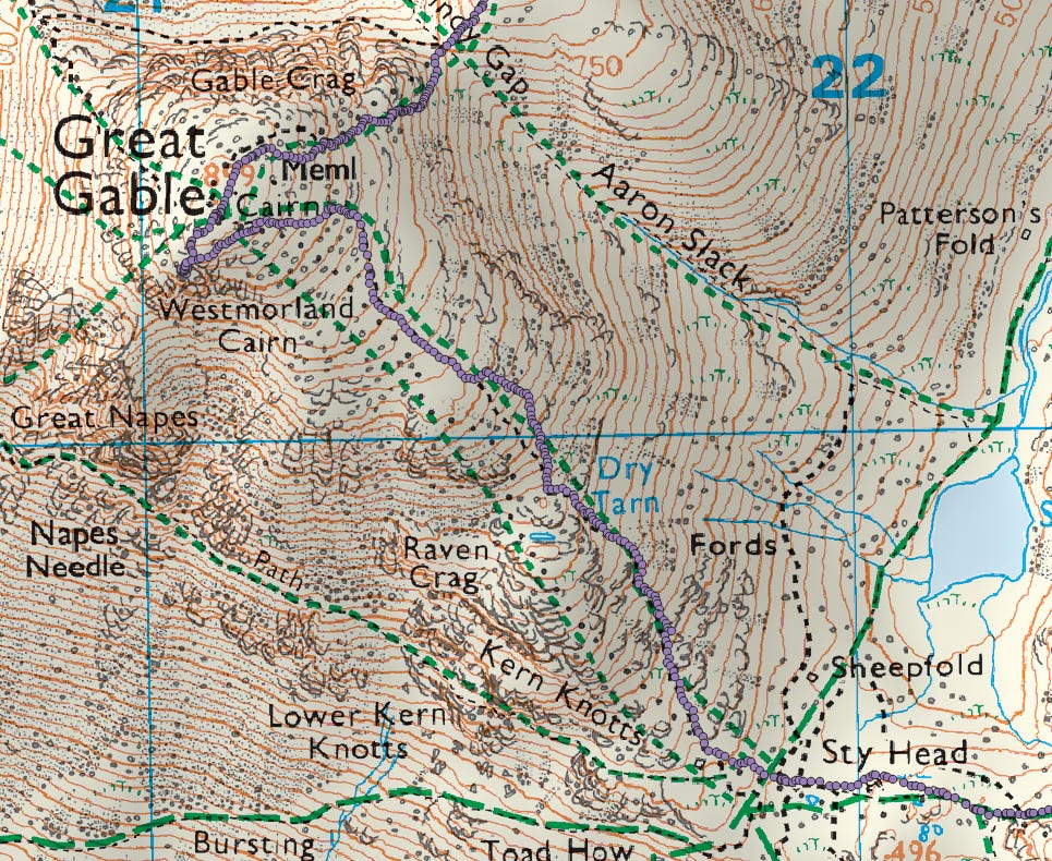
What have I let myself in for? It was as challenging as it looked, and I’m glad I’m carrying all that water, as there are no springs or streams up here. AW points this out in his guide.
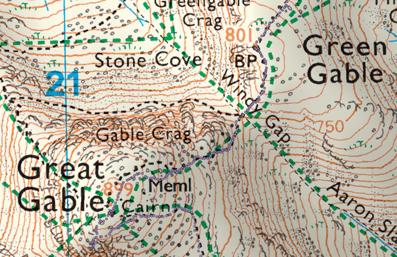
You need to descend to Windy Gap before heading up again.
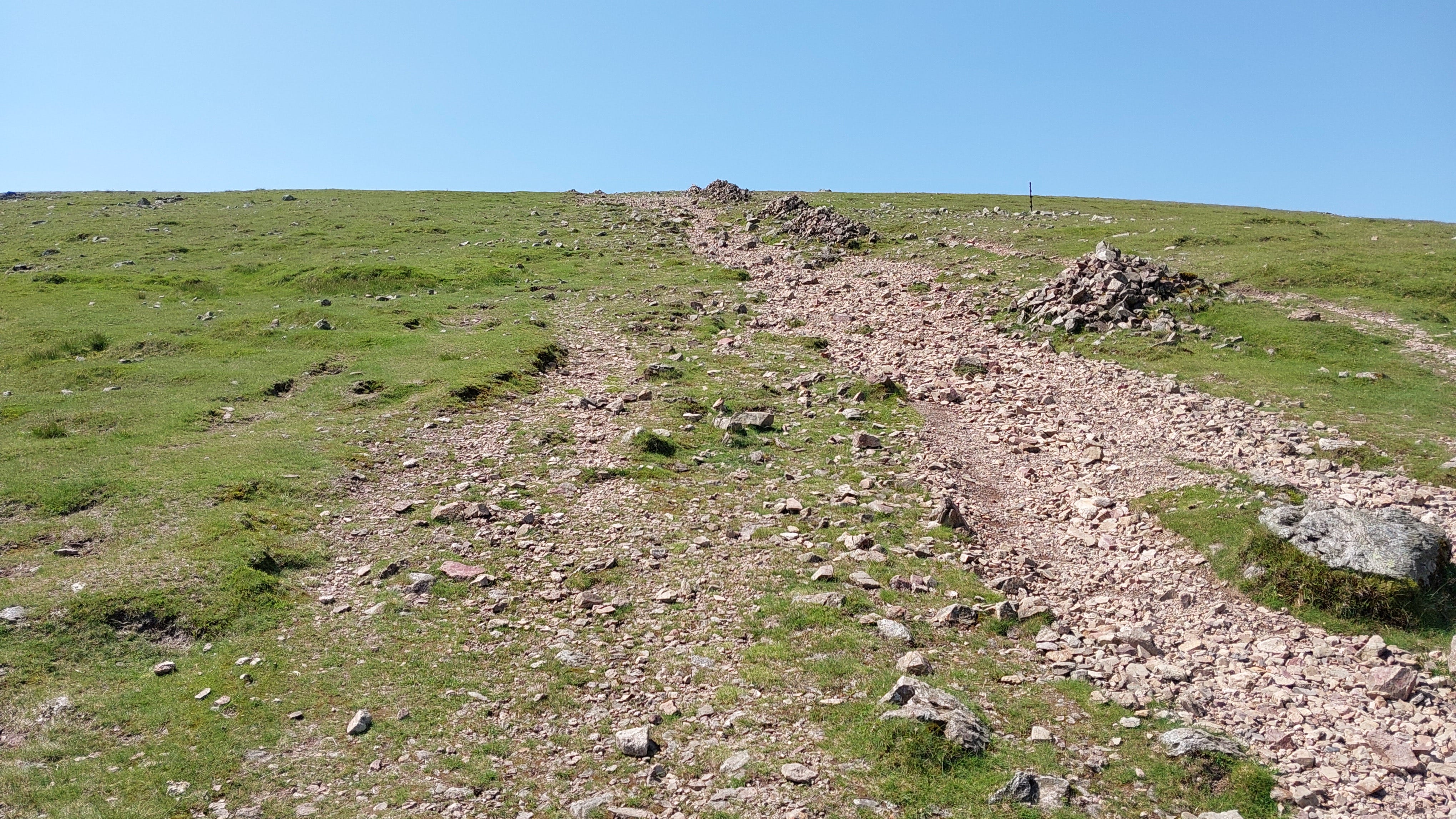
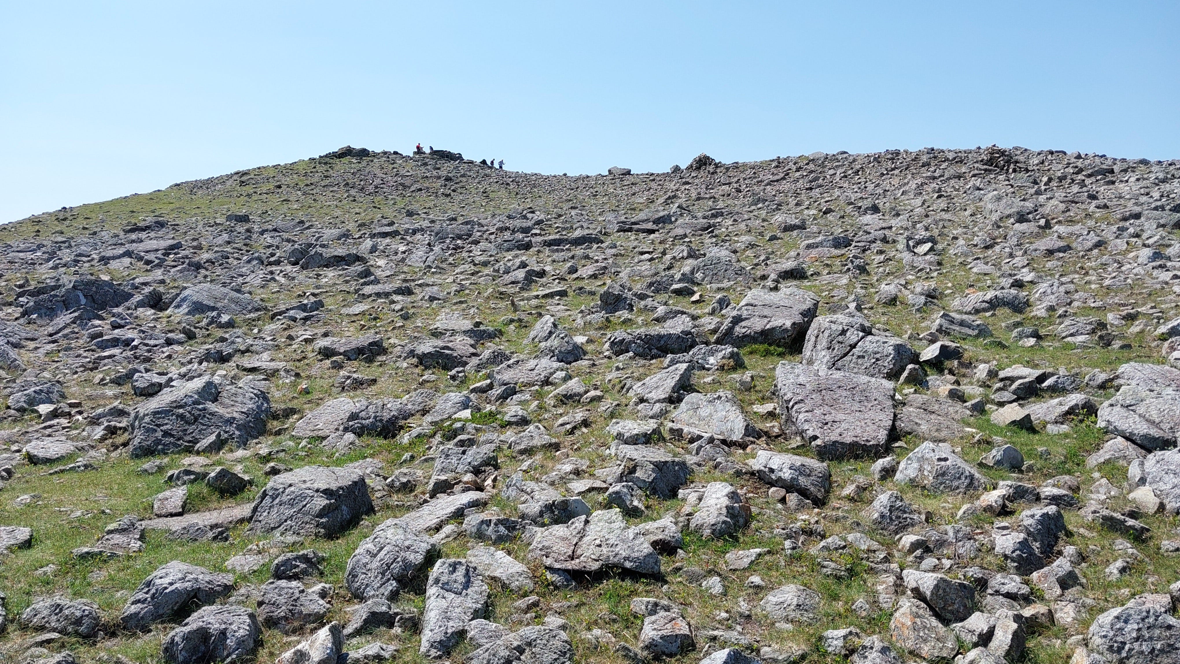
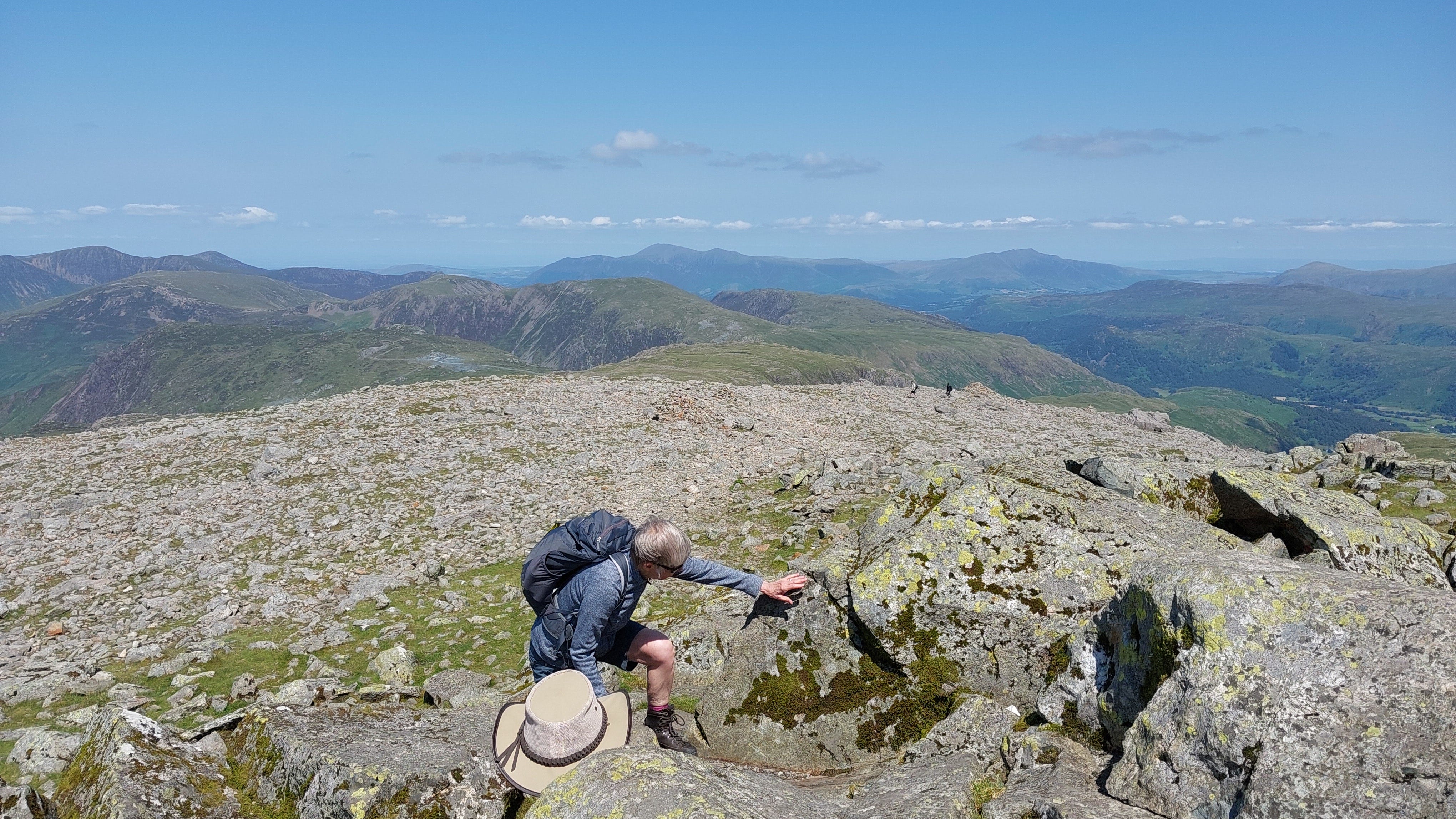
The price for admission: several hundred feet of scrambling and dodging boulders.
You could almost be on the Moon or some barren planet.
And it never seems to ease off. Just keep heading up, and gulping down water.
Finally, the contours start to spread out, and the summit comes into view.
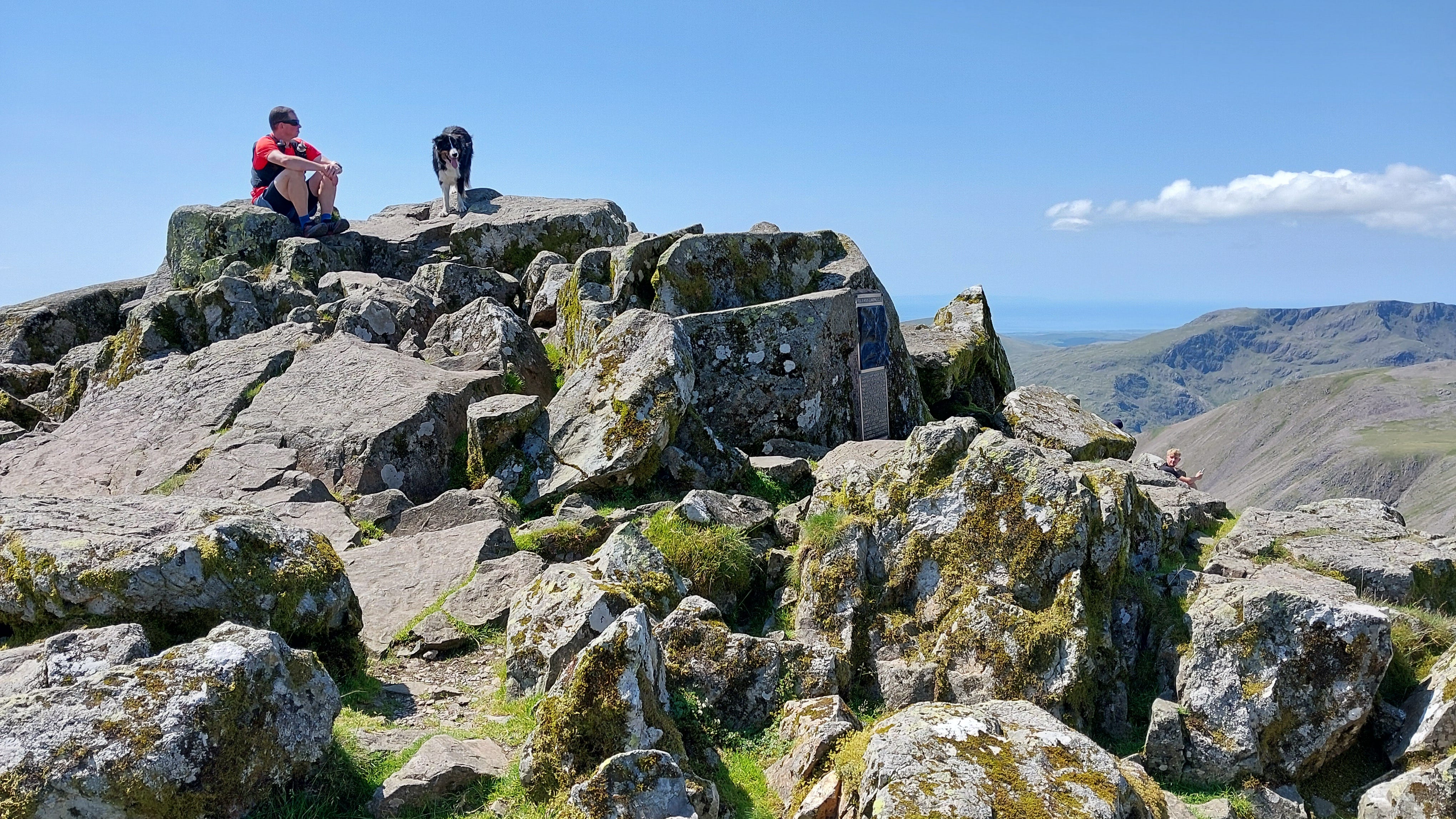
Even this dog found it hard going. But it was all worth it.
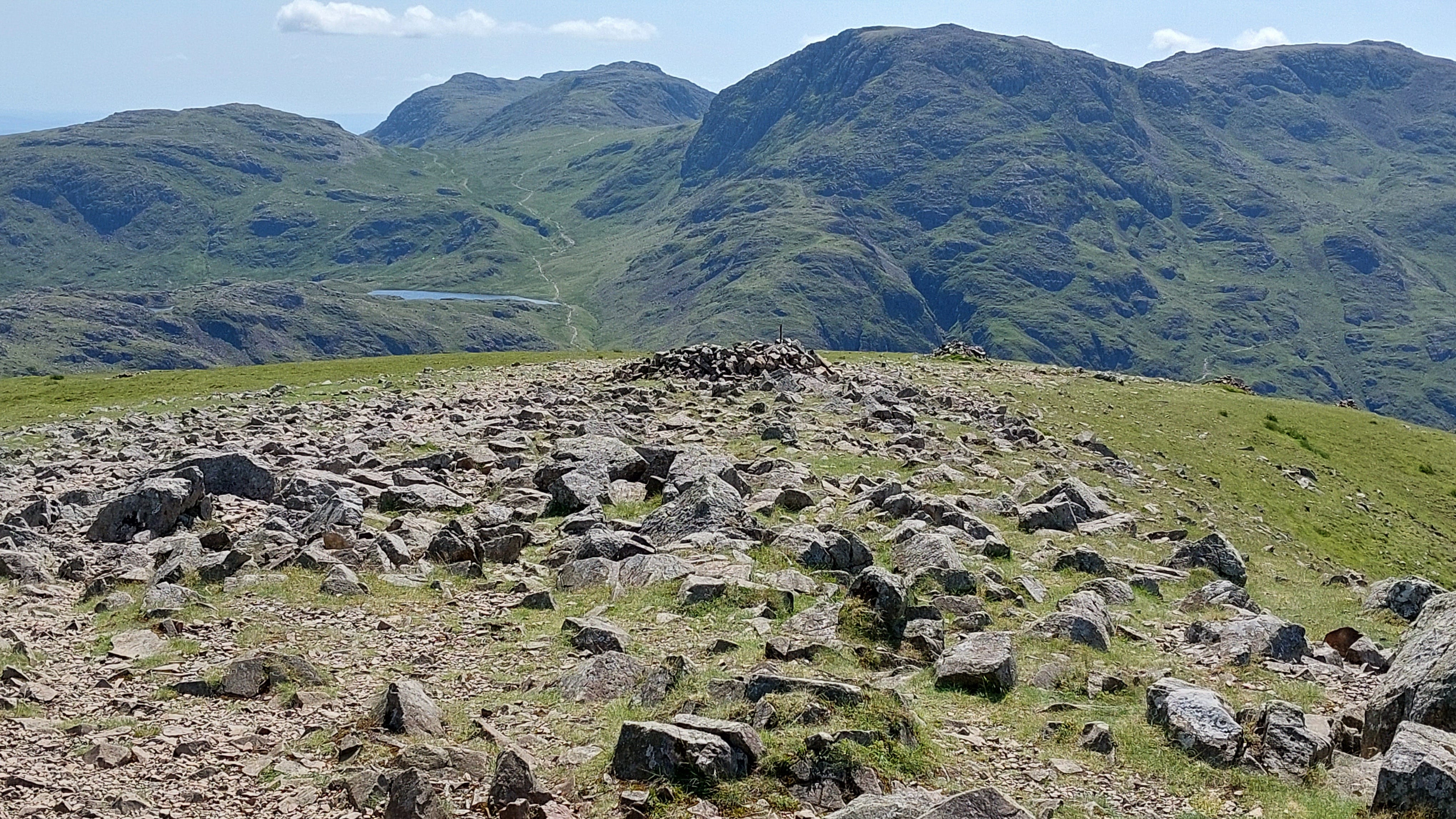
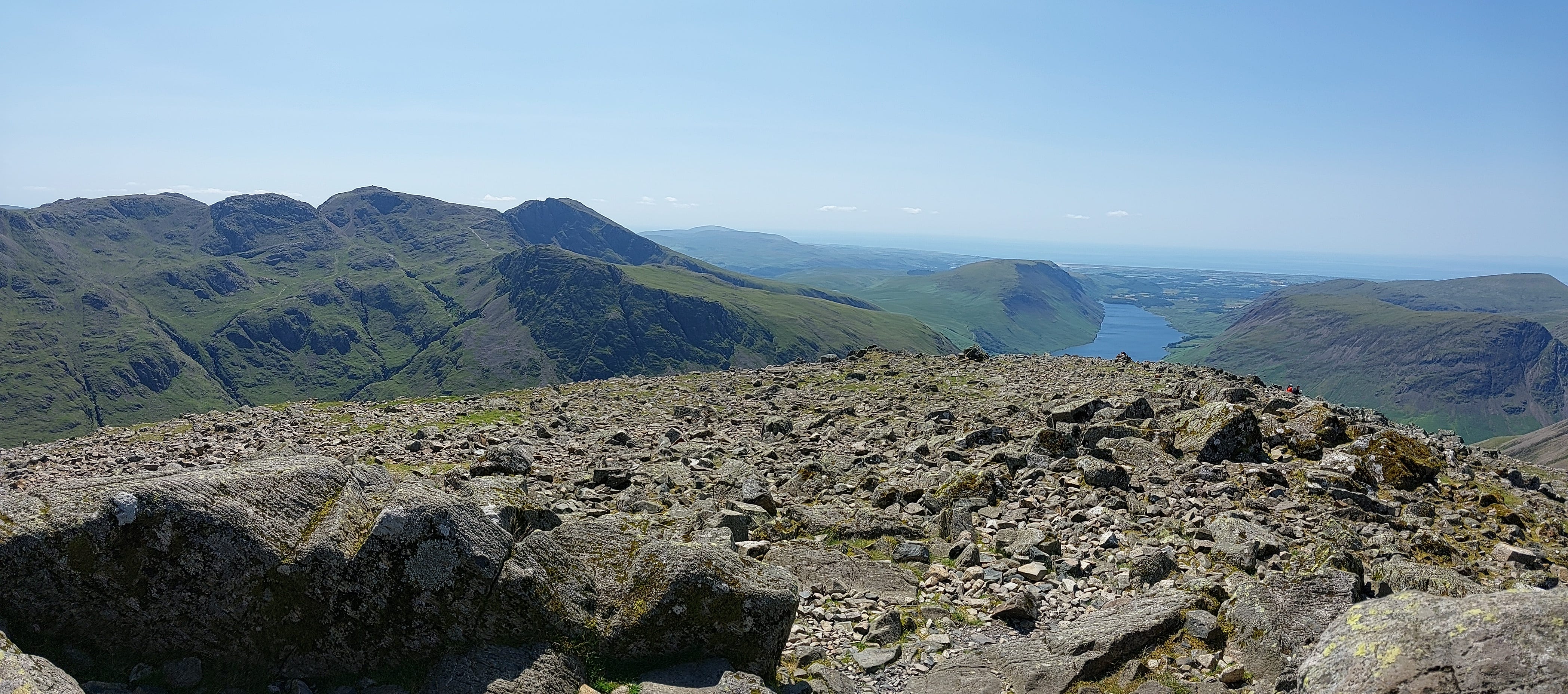
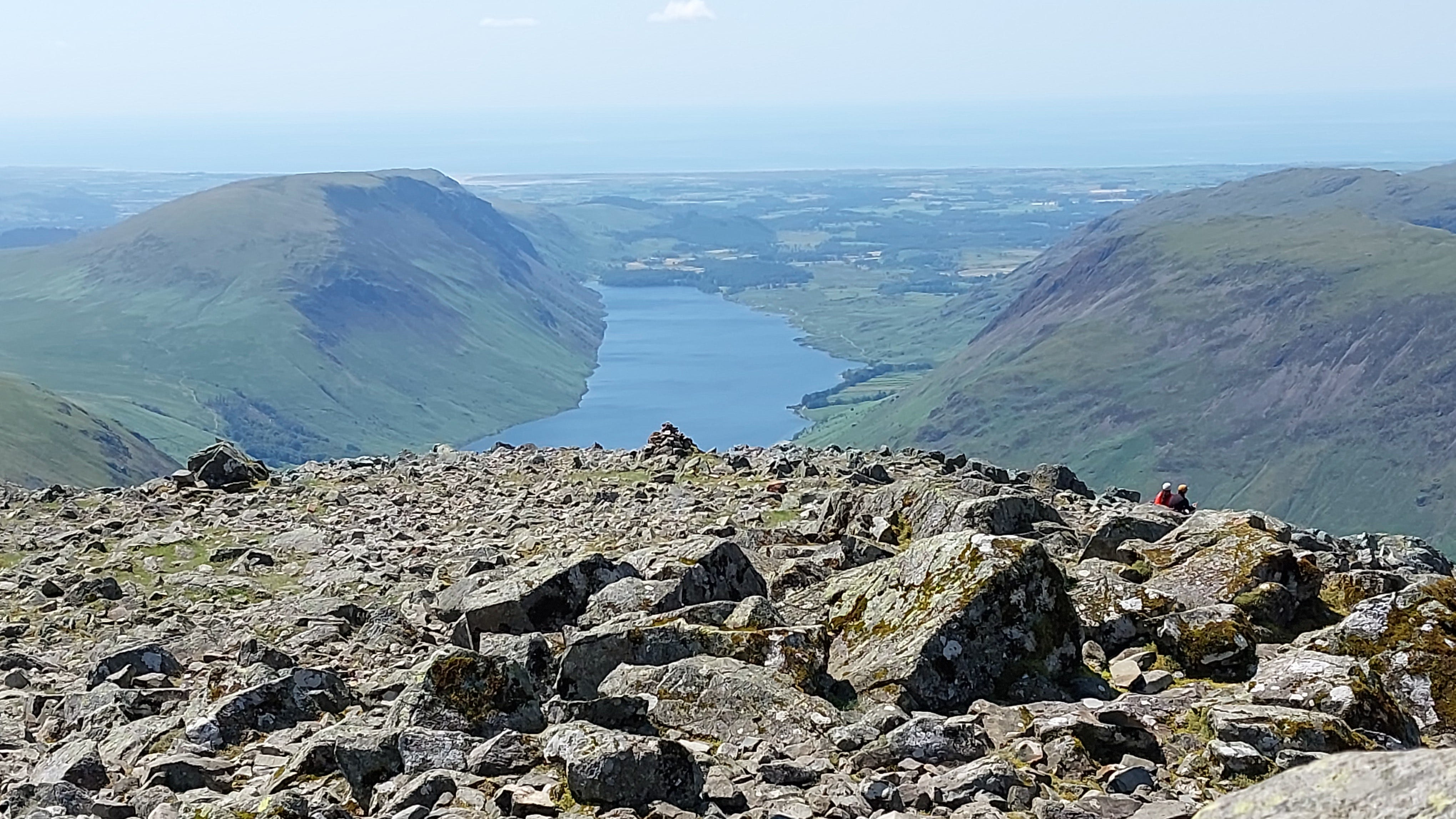
To the left is the Scafell range, and looking southwest is the appropriately named Wastwater. It reminds me of a Scottish loch. The blue line on the horizon is the Irish Sea, with the Isle of Man to the right of shot.
Crummock Water, with Scottish hills on the horizon.
I considered adding a ridge walk to Pillar and back, but it would have added another six to eight miles to the route.
“The finest view in the district”.
Looking east, one of the summit paths to Scafell Pike.
It was 20°C, gusting 5-10 kts at nearly 3000’.
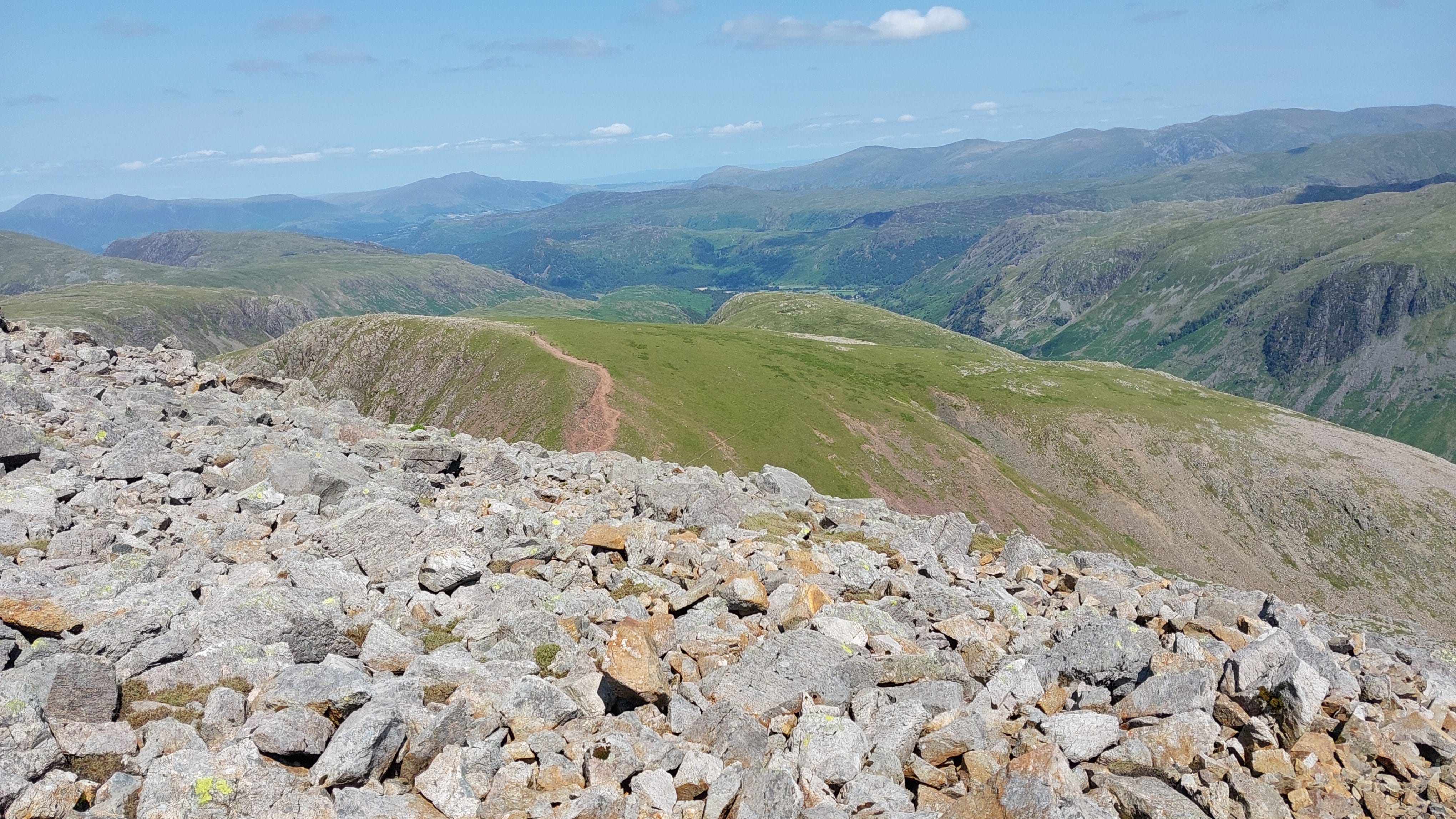
The view looking back down the trail to Green Gable and Base Brown.
Leg 4: Great Gable to Seathwaite Fell
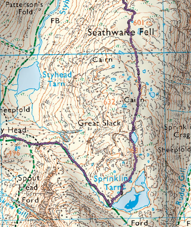
The Seathwaite Fell path also takes you on up to Scafell. A climber asked if I was heading that way, but it was already mid-afternoon, and my water supplies were going down fast.
A reminder that you are just one slip away from disaster, and I didn’t want it to be me!
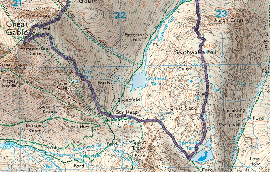
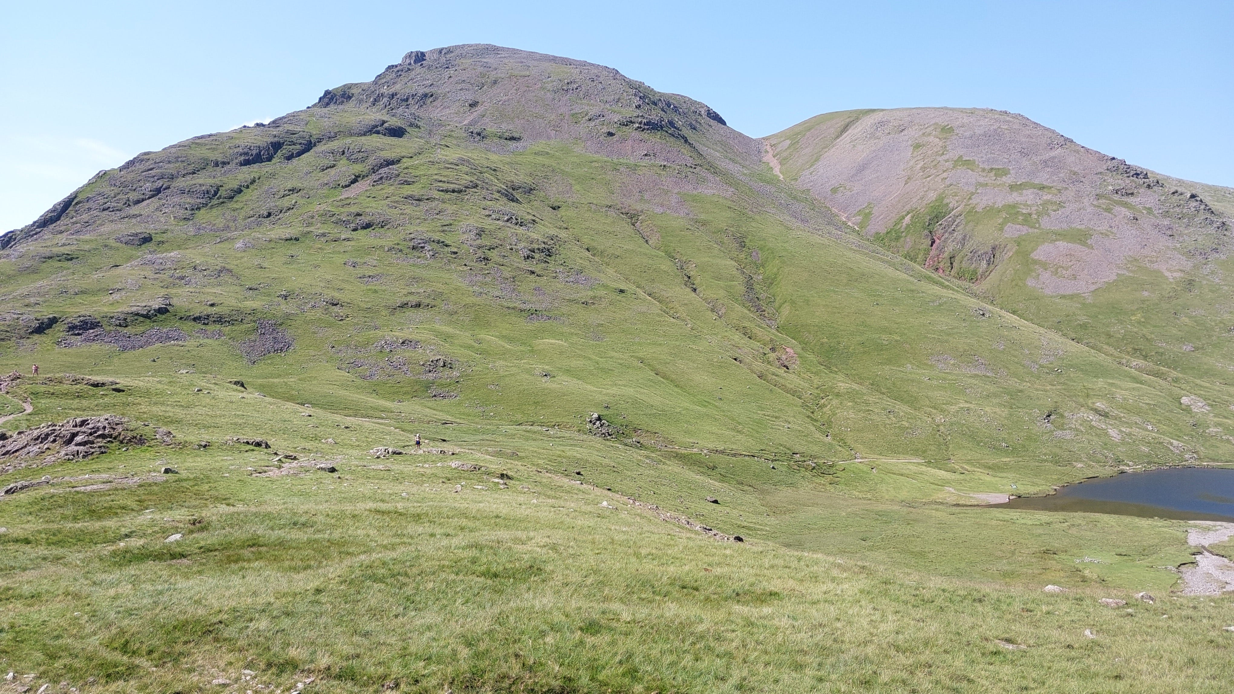
Looking west back at the stony path down Great Gable, via Dry Tarn. To the right is Windy Gap and Green Gable, above Styhead Tarn.
The descent is steep and rocky, but the path is clear and fairly stable.
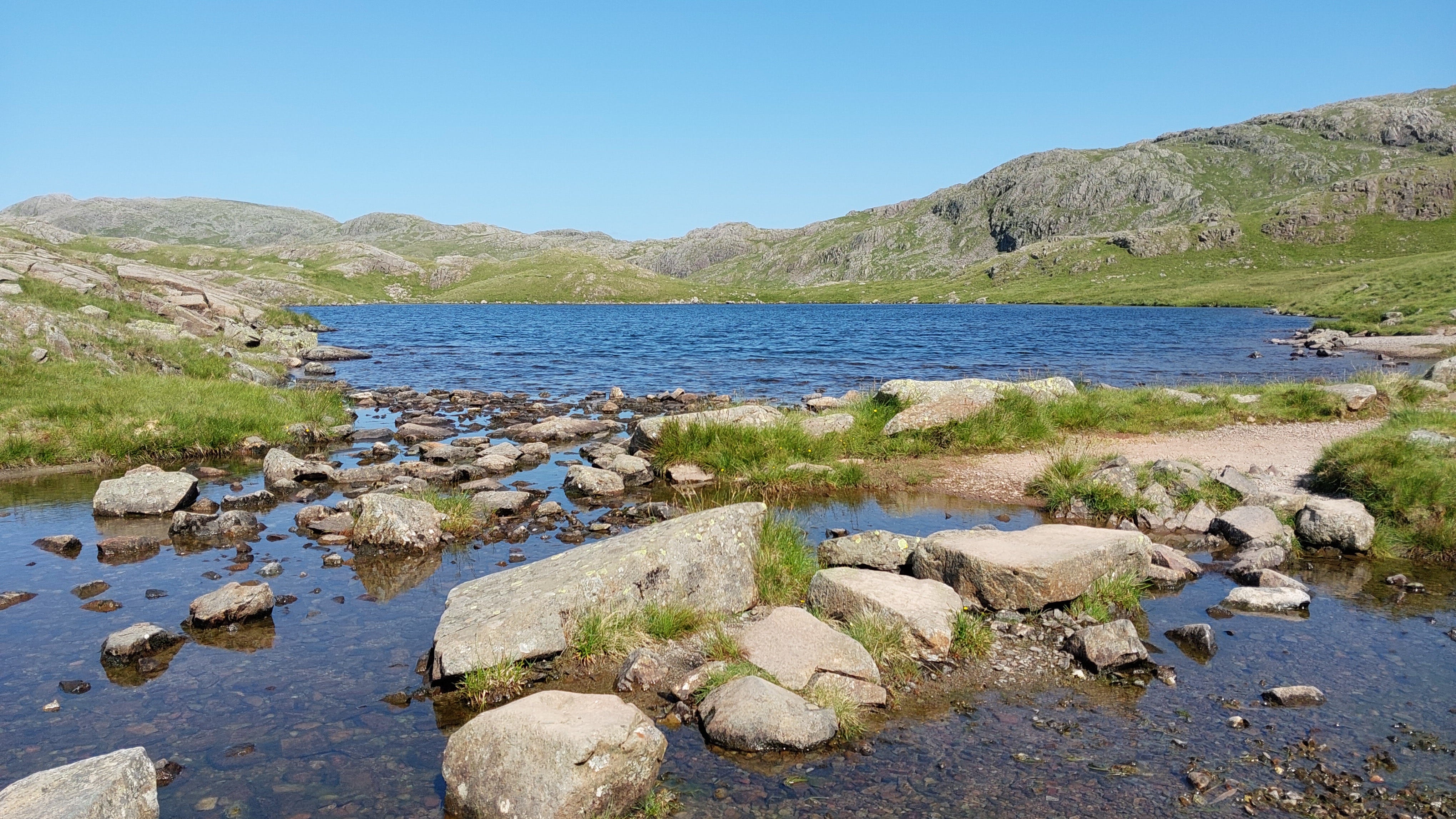
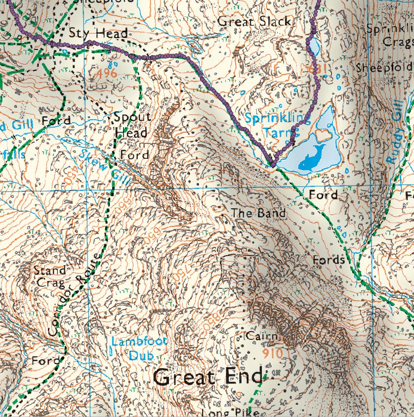
The route up to the fell takes you to the left of idyllic Sprinkling Tarn.
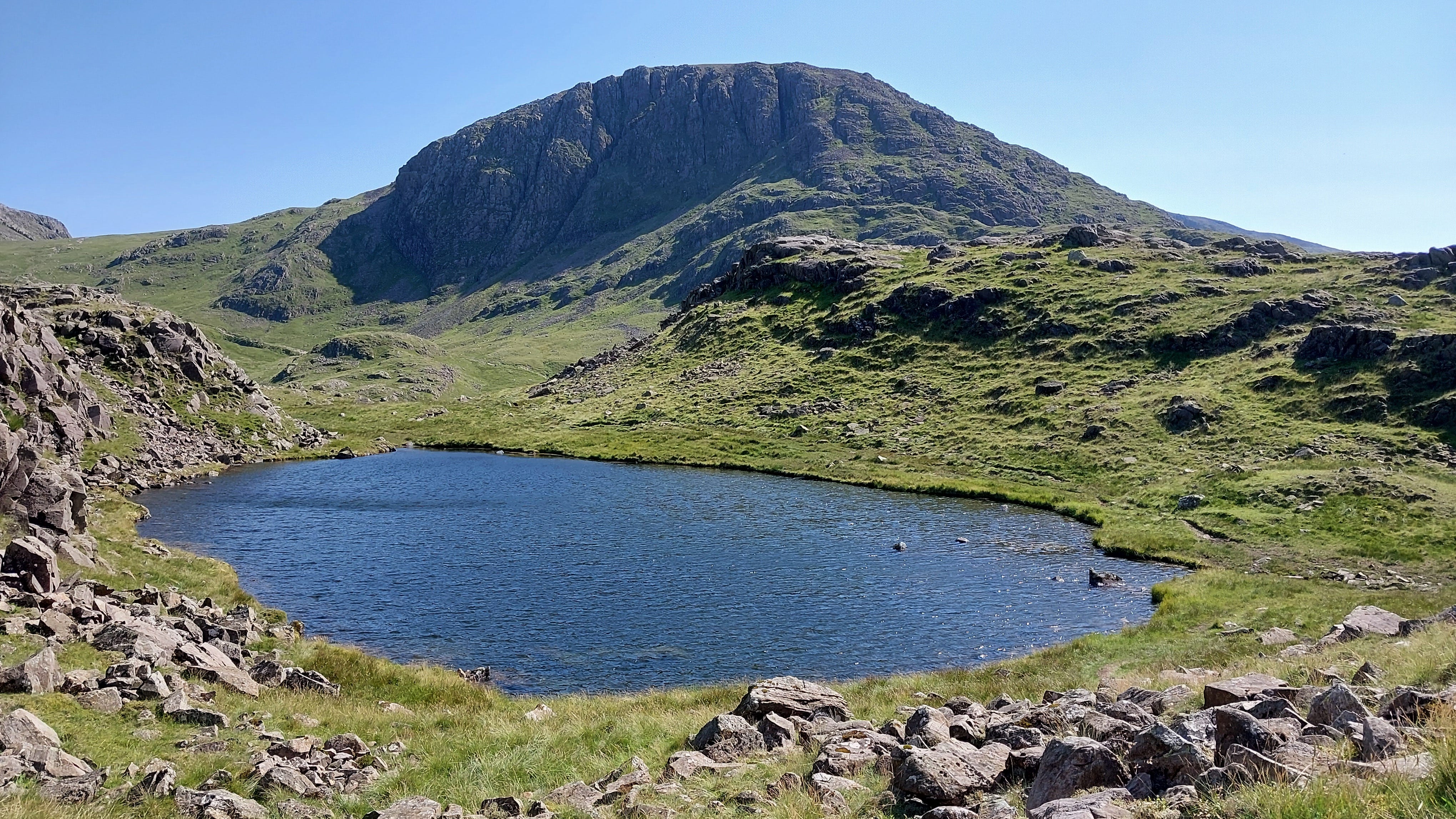
Great End, to the south of this tiny tarn near Great Slack.
A last view of the Gables, before we start heading back down to Borrowdale.
Leg 5: Descent from Seathwaite Fell to Borrowdale
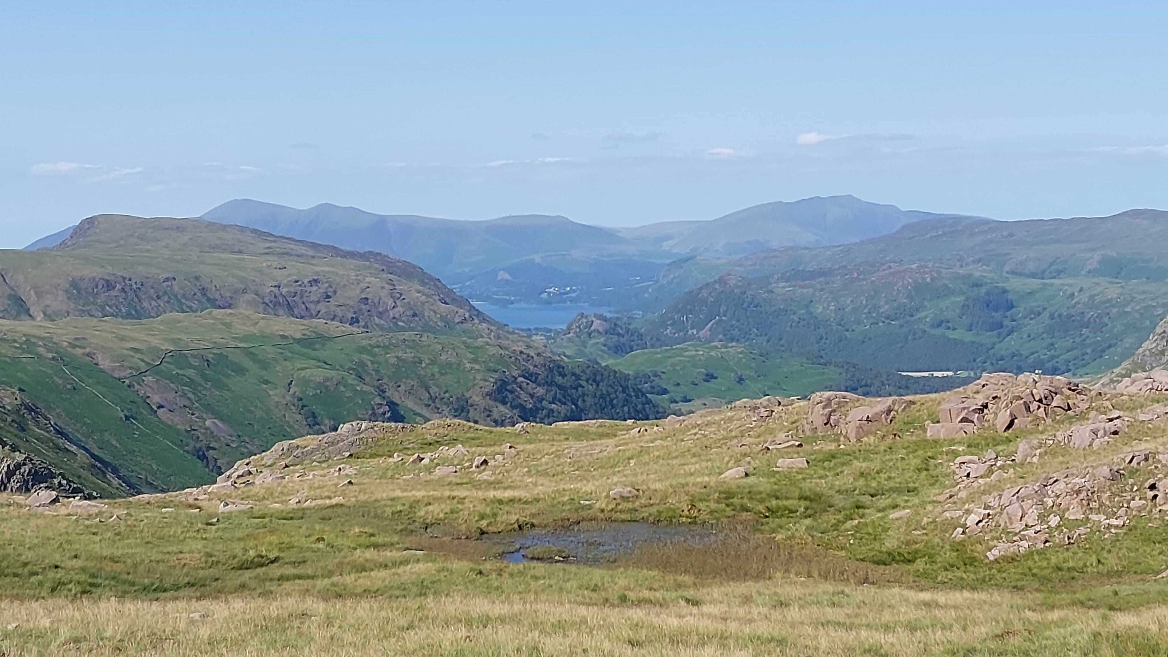
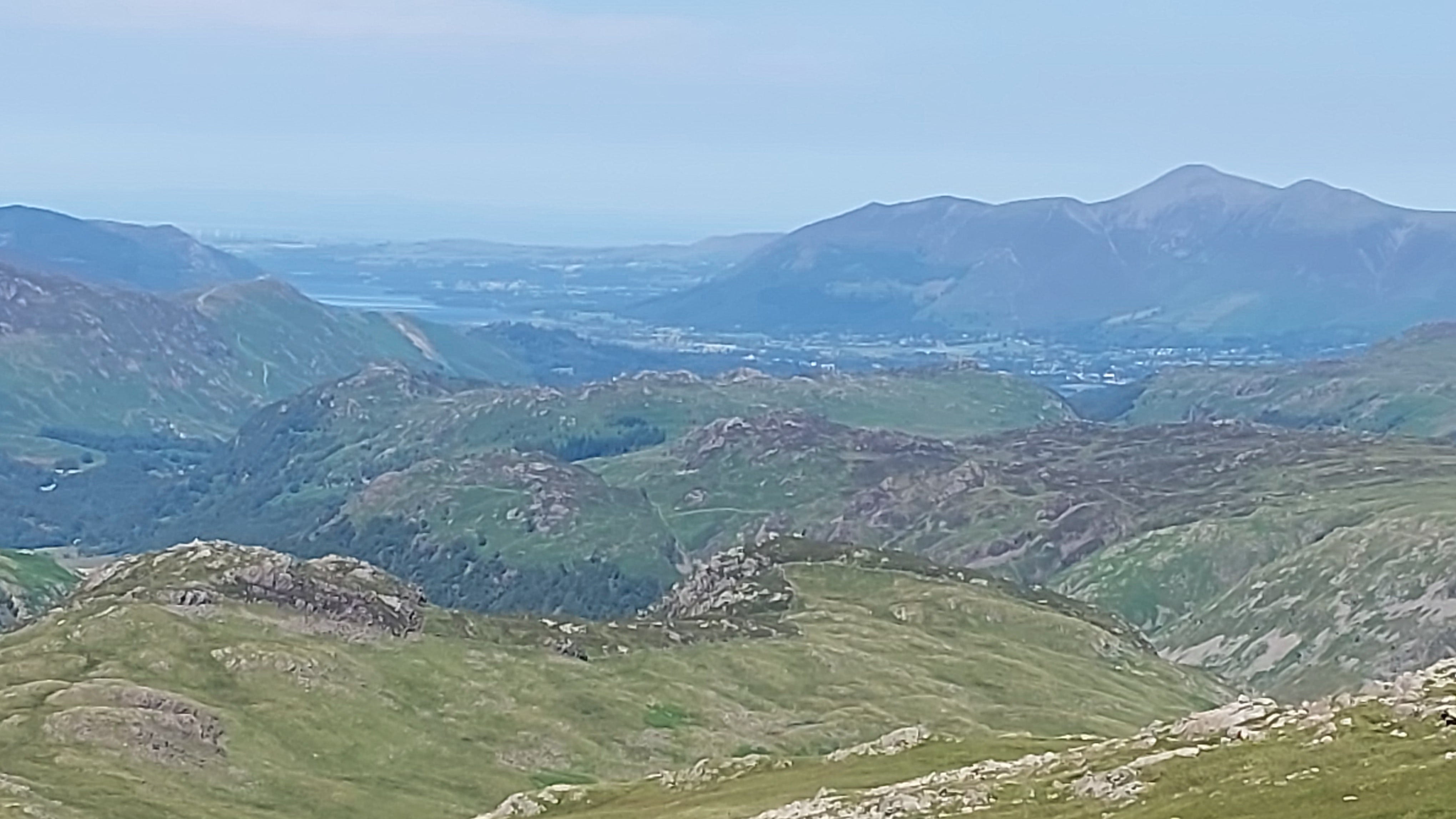
Derwent Water, with Keswick and Skiddaw forming part of the backdrop.
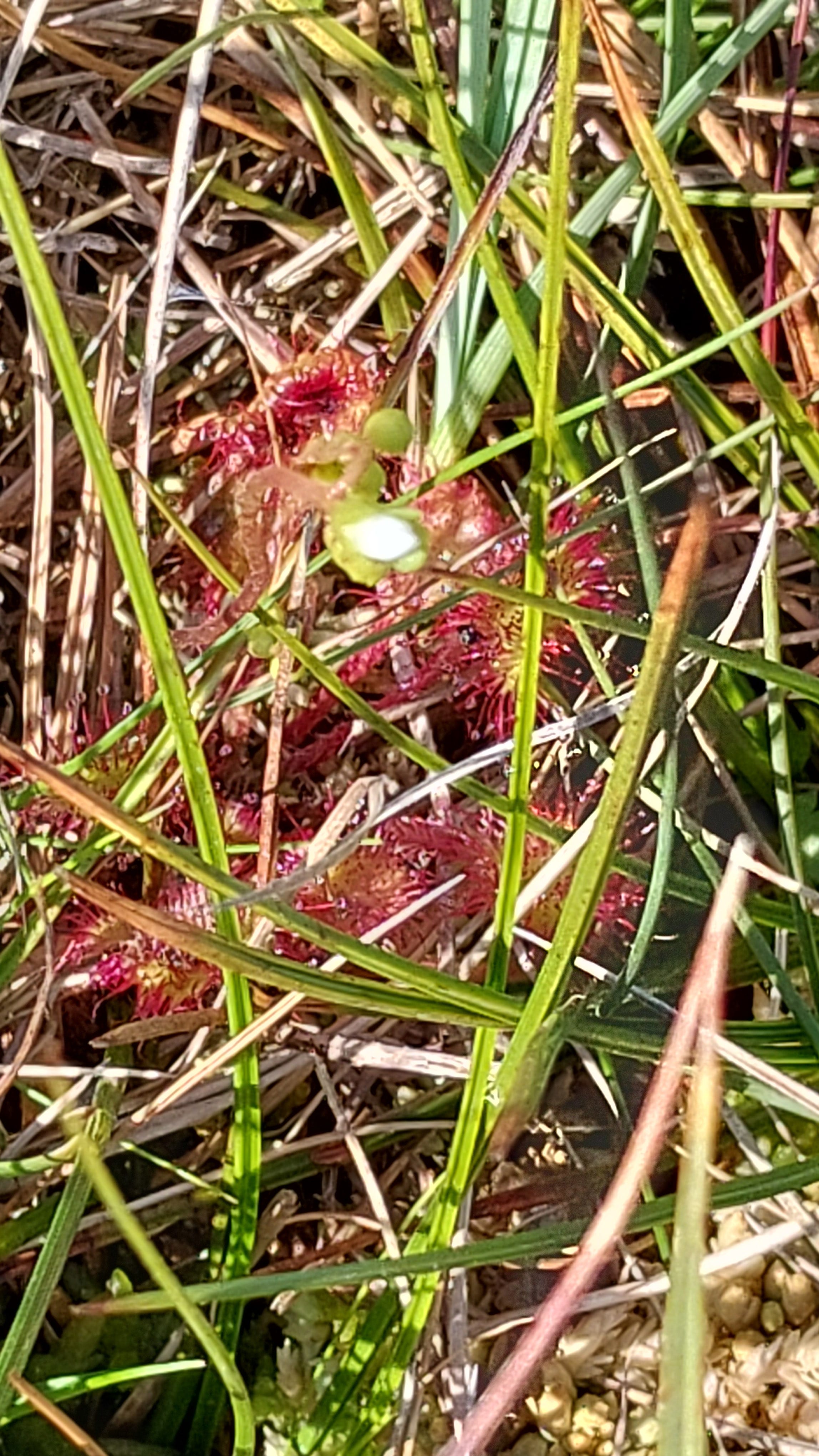
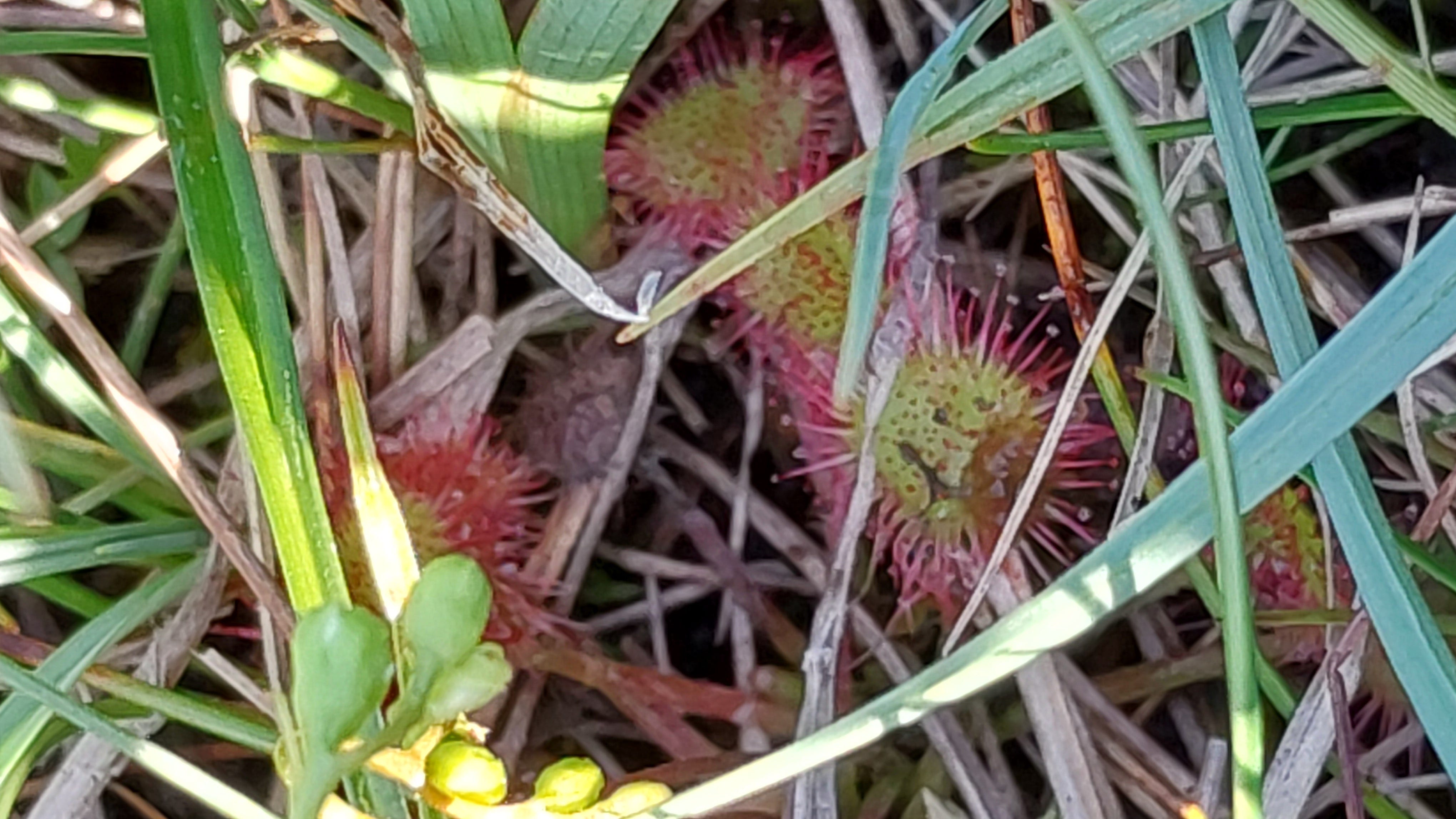
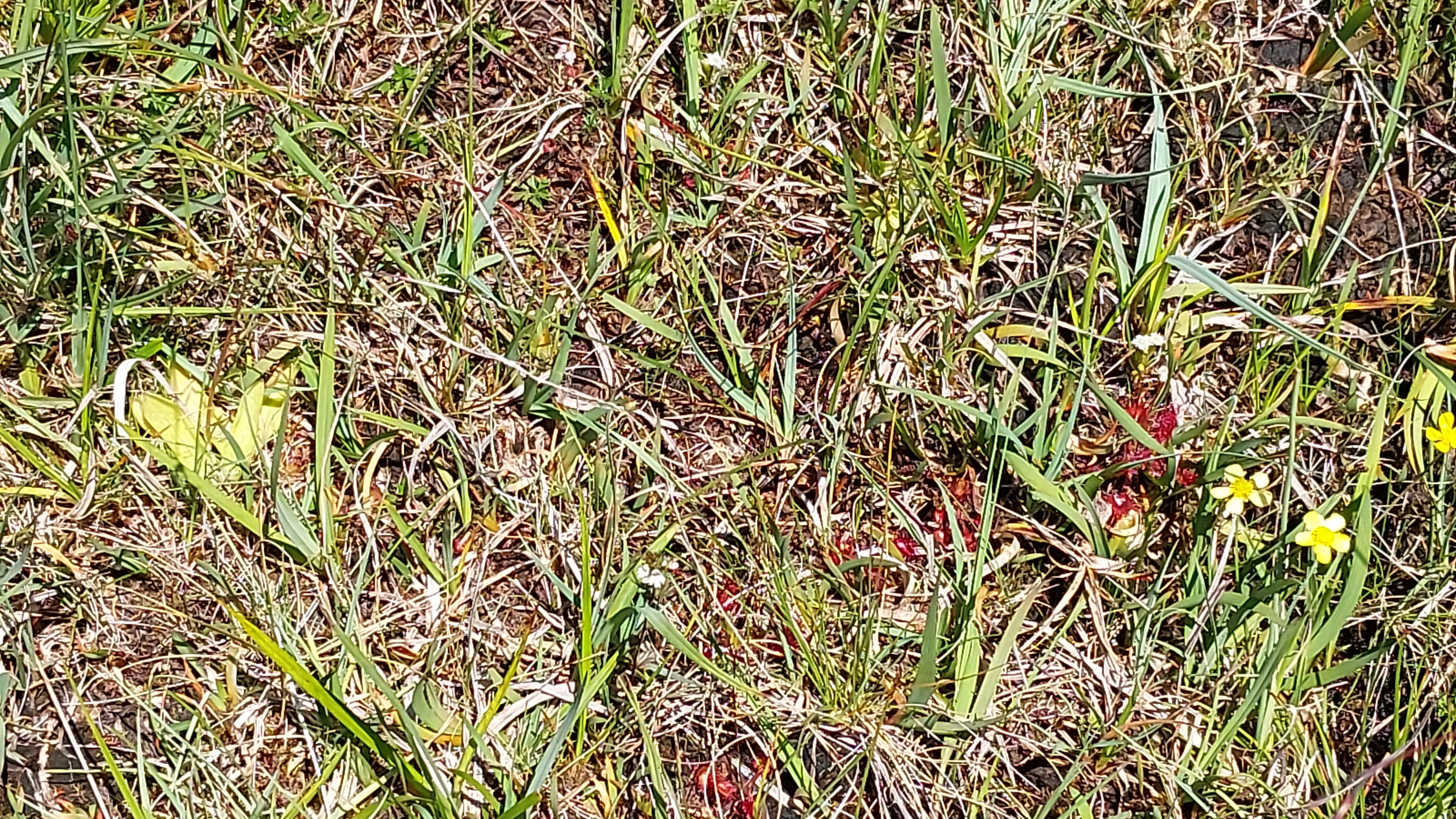
My first encounter with the round-leaved sundew, Drosera rotundifolia. I never saw any orchids on this trip.
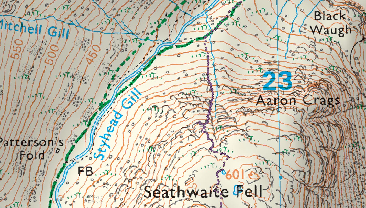
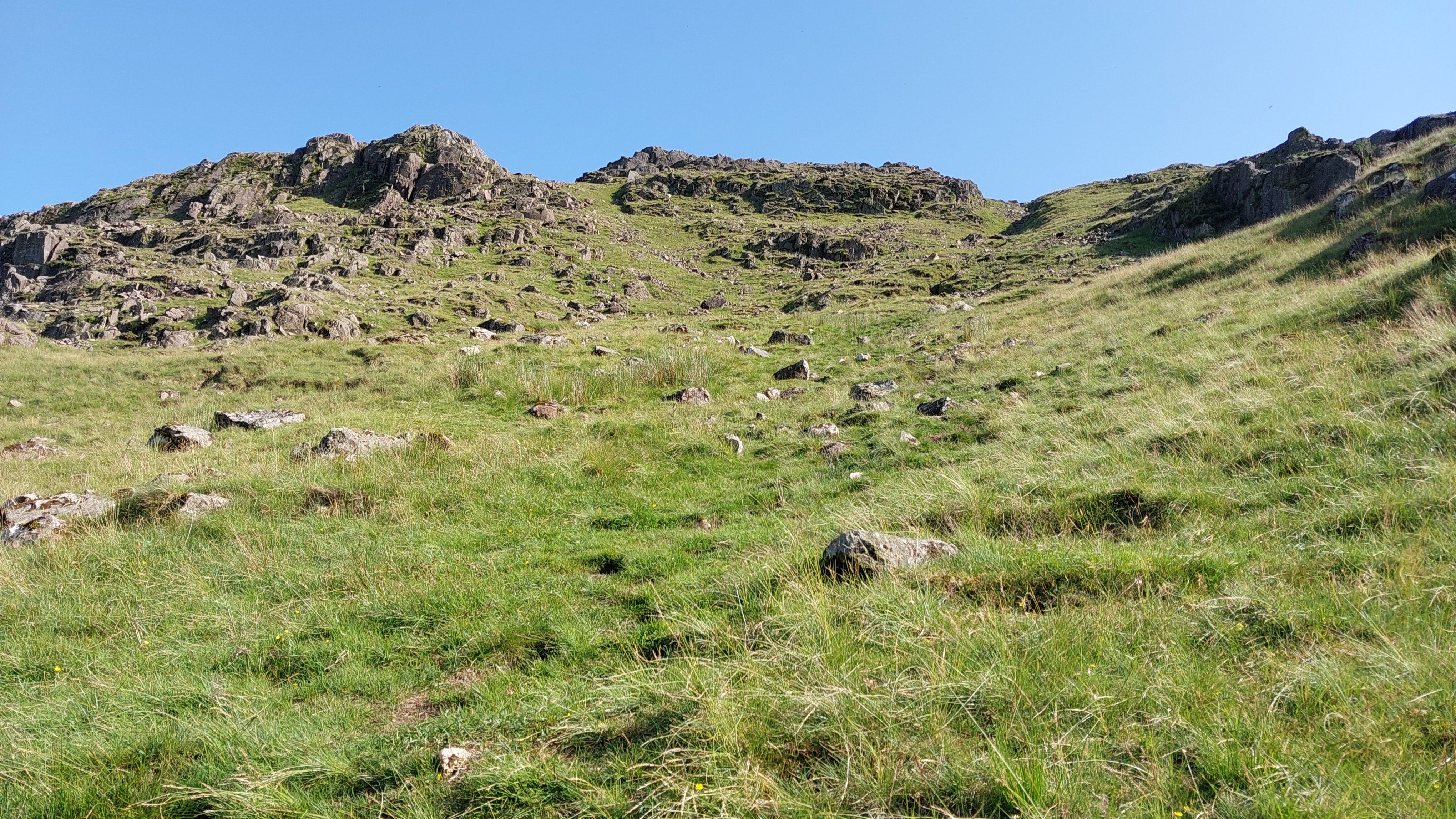
A warning to those without a head for heights, stout footwear and poles. The descent here through scree was not for the inexperienced, and it demanded a lot of care and attention, as well as help from the GPS to avoid straying off course over cliffs. You need to keep the stream close to you, on your right. There was a bit of a path lower down, but the rocks on it were loose. I was glad to rejoin the Borrowdale path lower down in the valley.
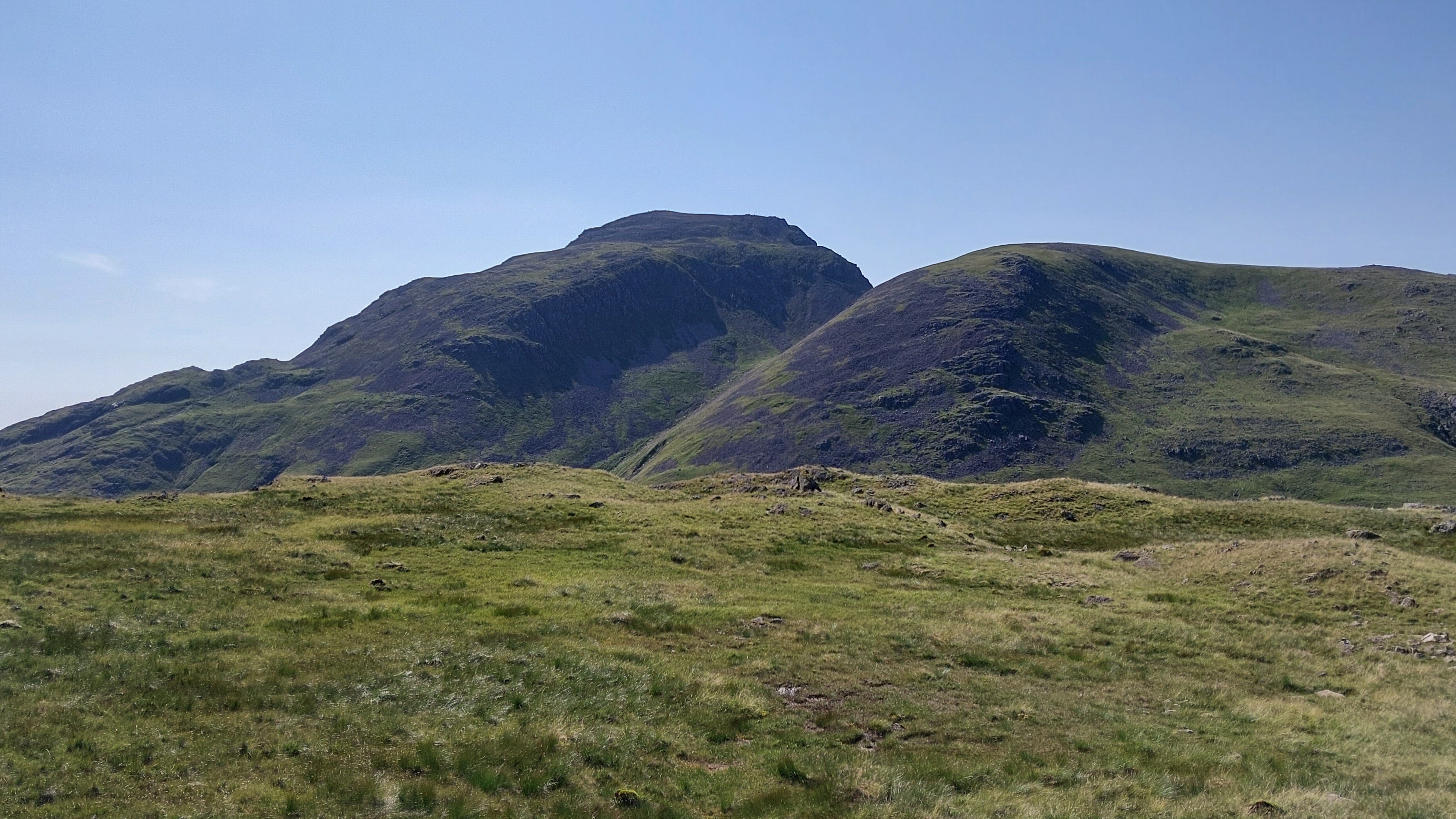
Looking back up the slope to the top of the fell. There is a path in there, somewhere!
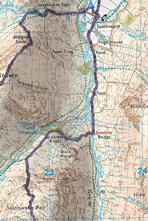
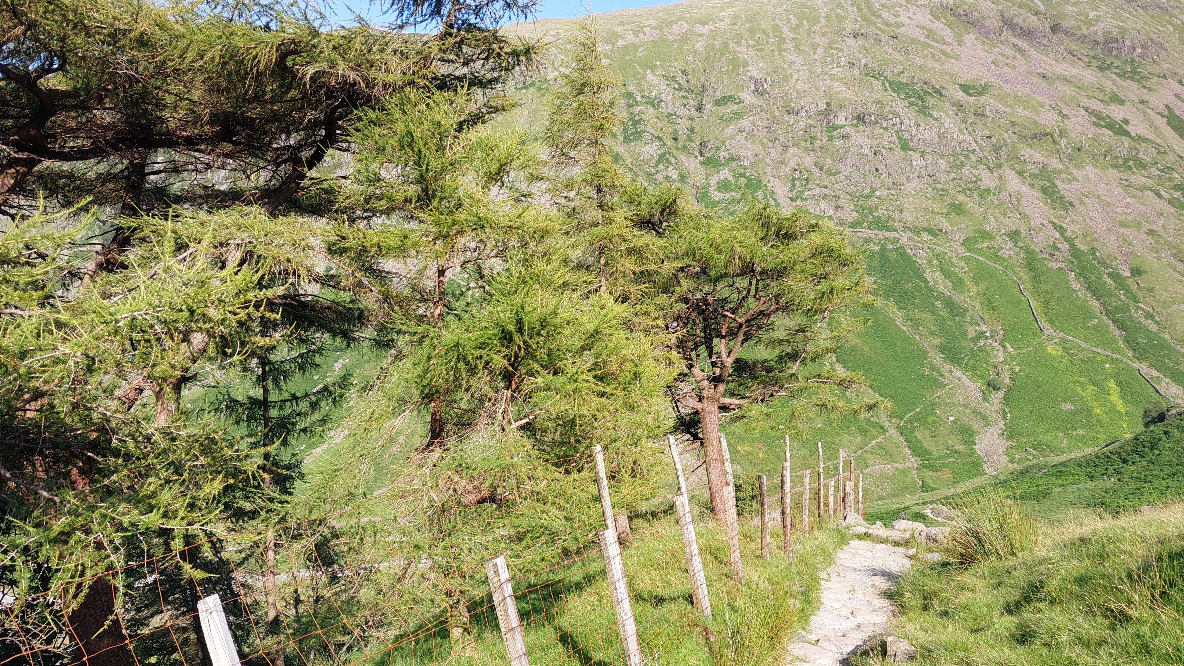
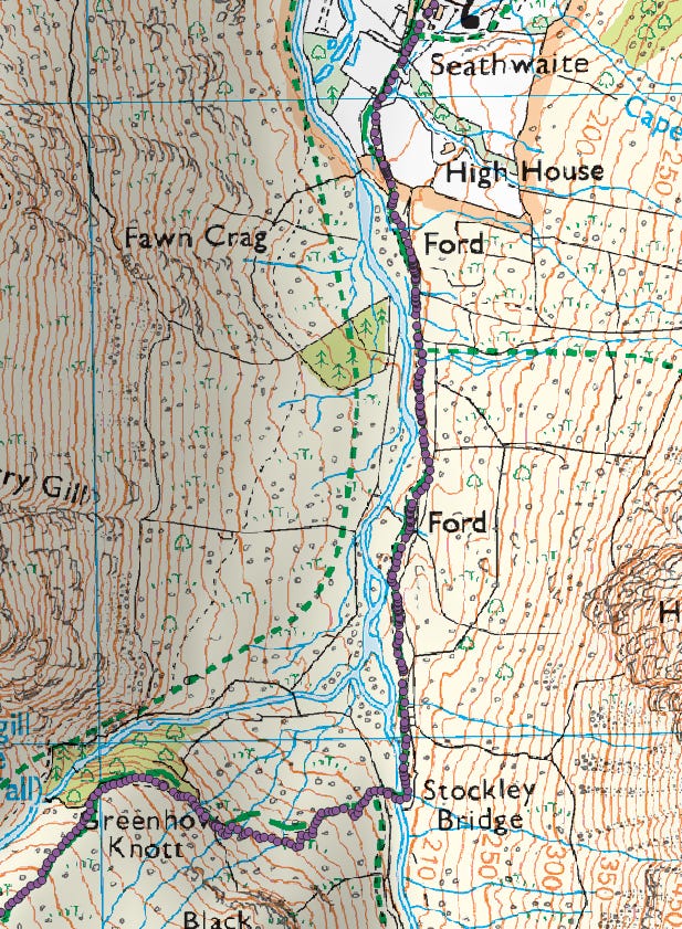
Greenhow Knott. The last two miles were an absolute pleasure. The heat started to ease too, by late afternoon.
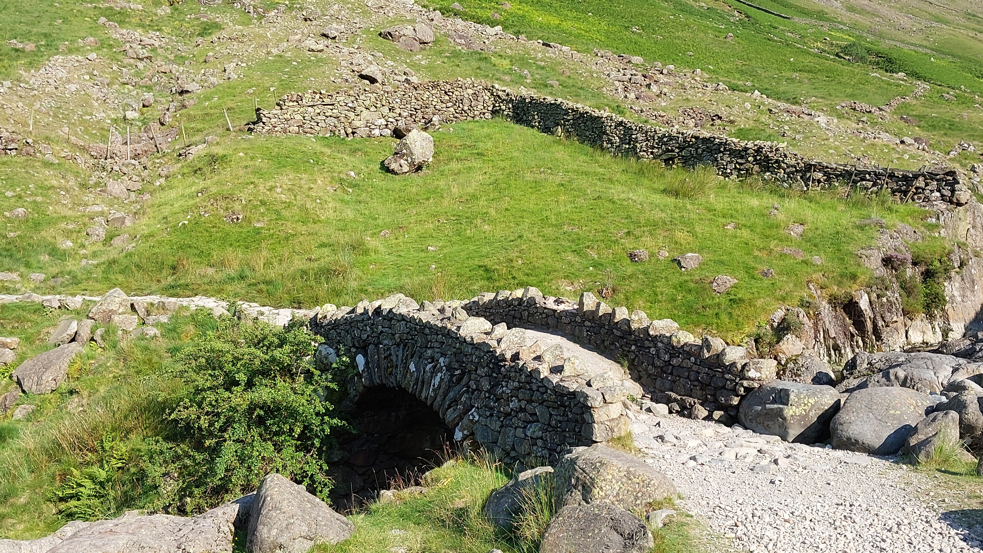
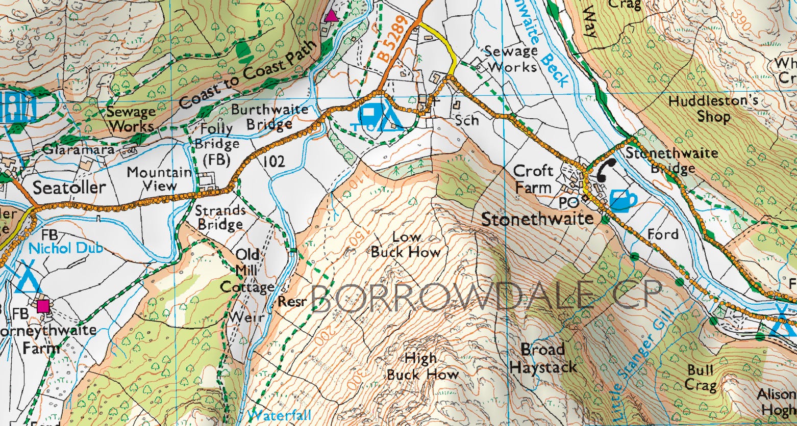
Stockley Bridge. This packhorse bridge dates back to the early to mid 18th Century, and it was used to transport slate rubble, "plumbago" (graphite), and copper from the nearby Seathwaite Wad mines. Wad (another name for graphite) was used for marking sheep fleeces, for making cannonball moulds, and to supply Keswick’s pencil industry. You can visit the Derwent Pencil Museum in Keswick to find out more.
Another “sheep-jam”, this time in Stonethwaite. I sought refuge behind a car.
When I ventured out to get a better shot, I spooked the sheep, caused a mini pile-up, and had to retreat quickly …
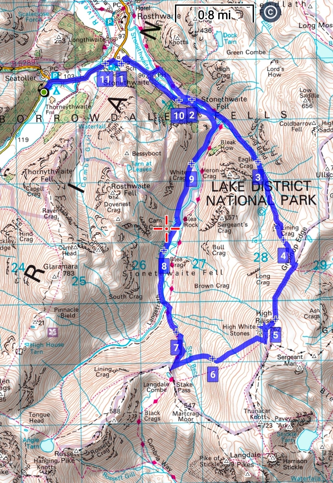
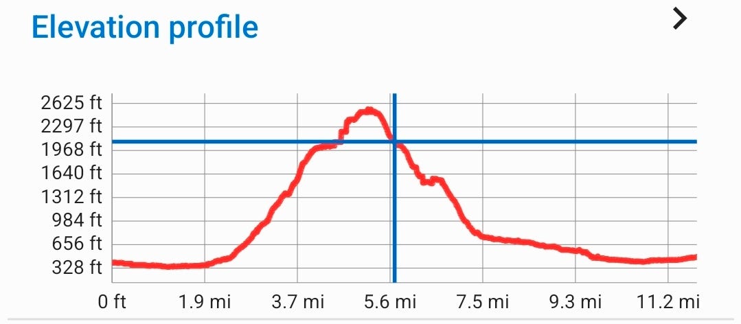
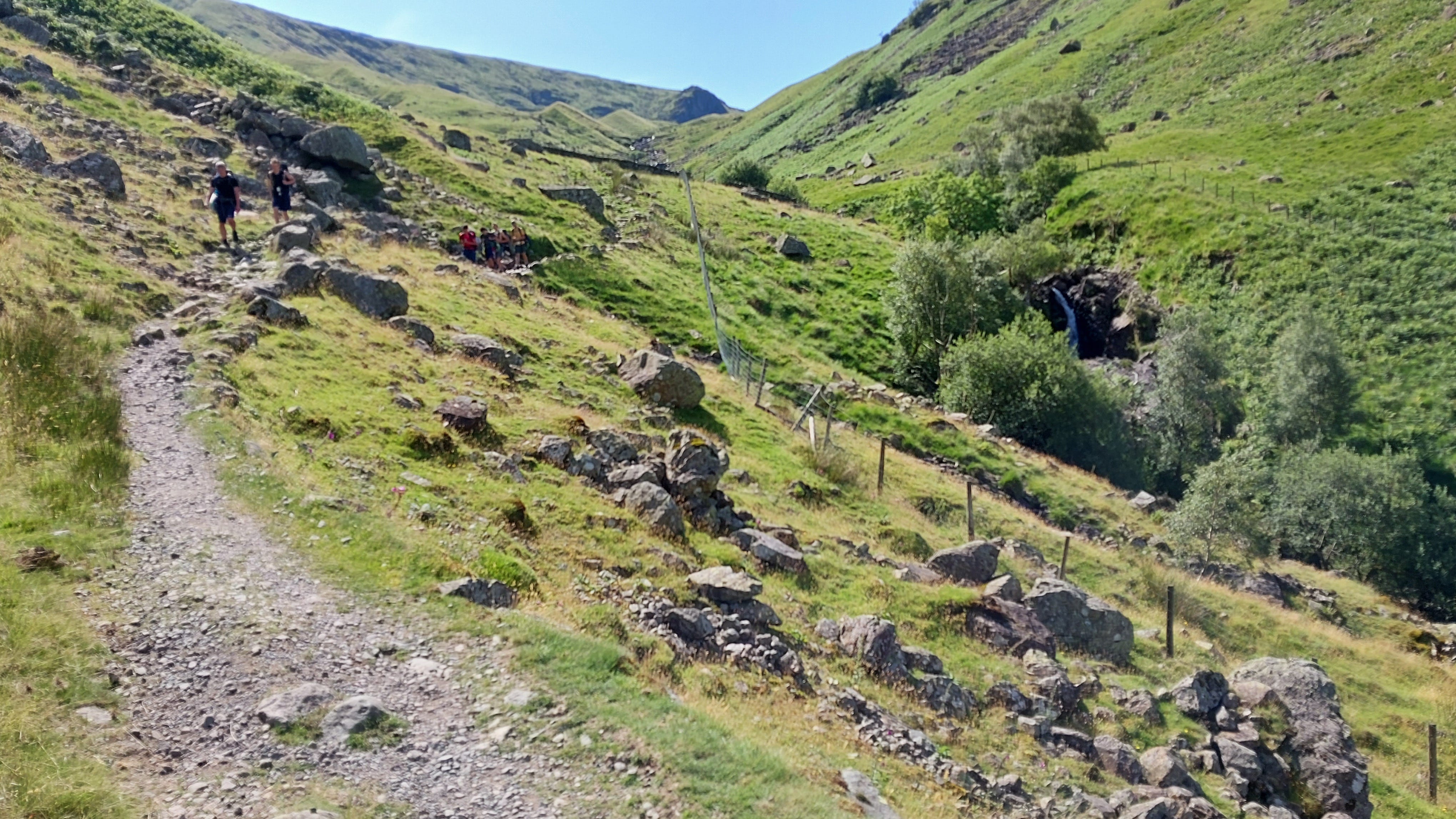
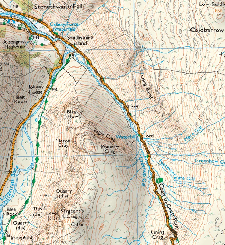
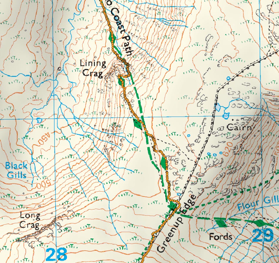
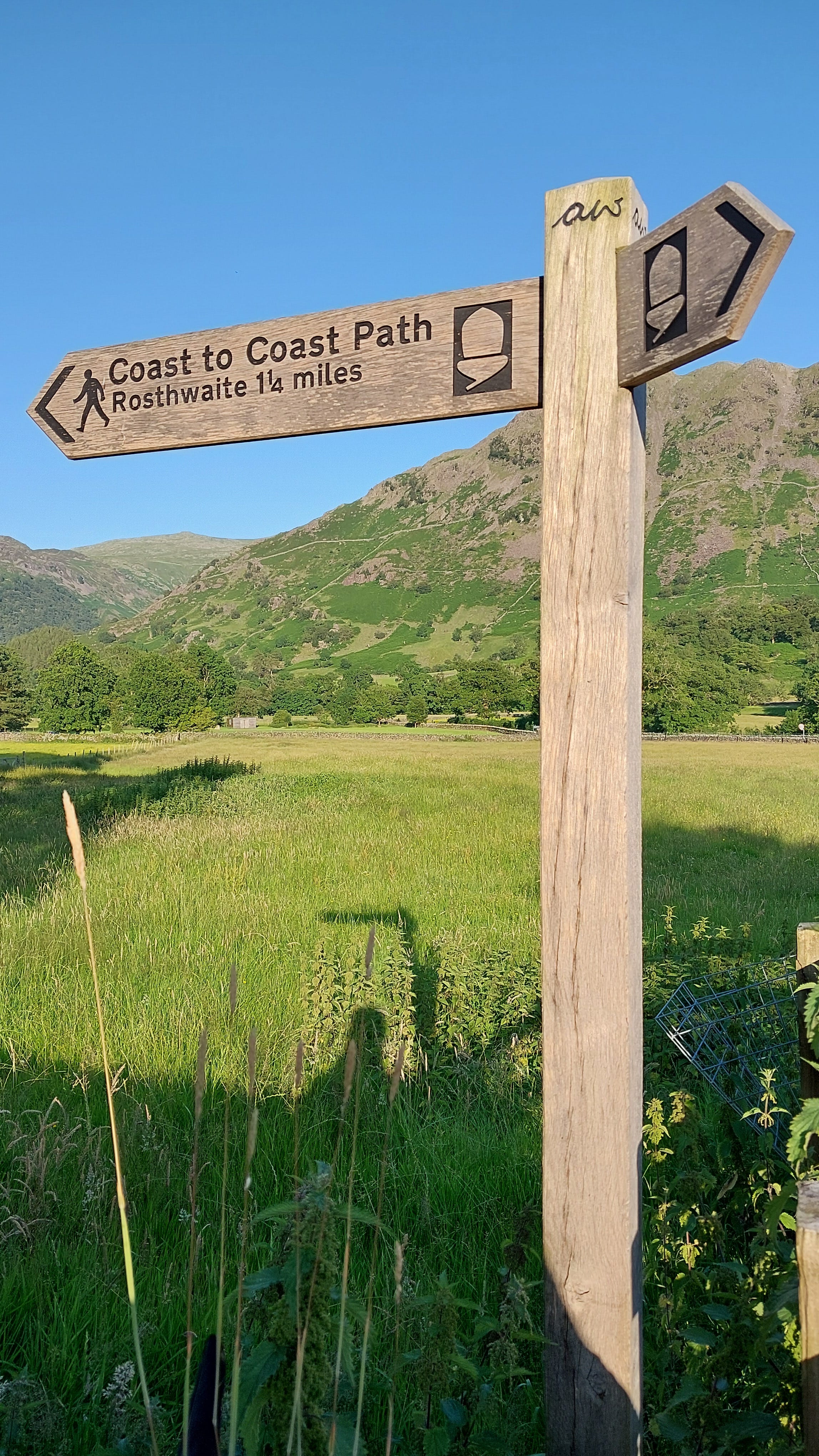
The north bank of Greenup Gill, following the Coast to Coast long-distance path. You have 2,000 feet of climbing, and there was almost no wind or shade.
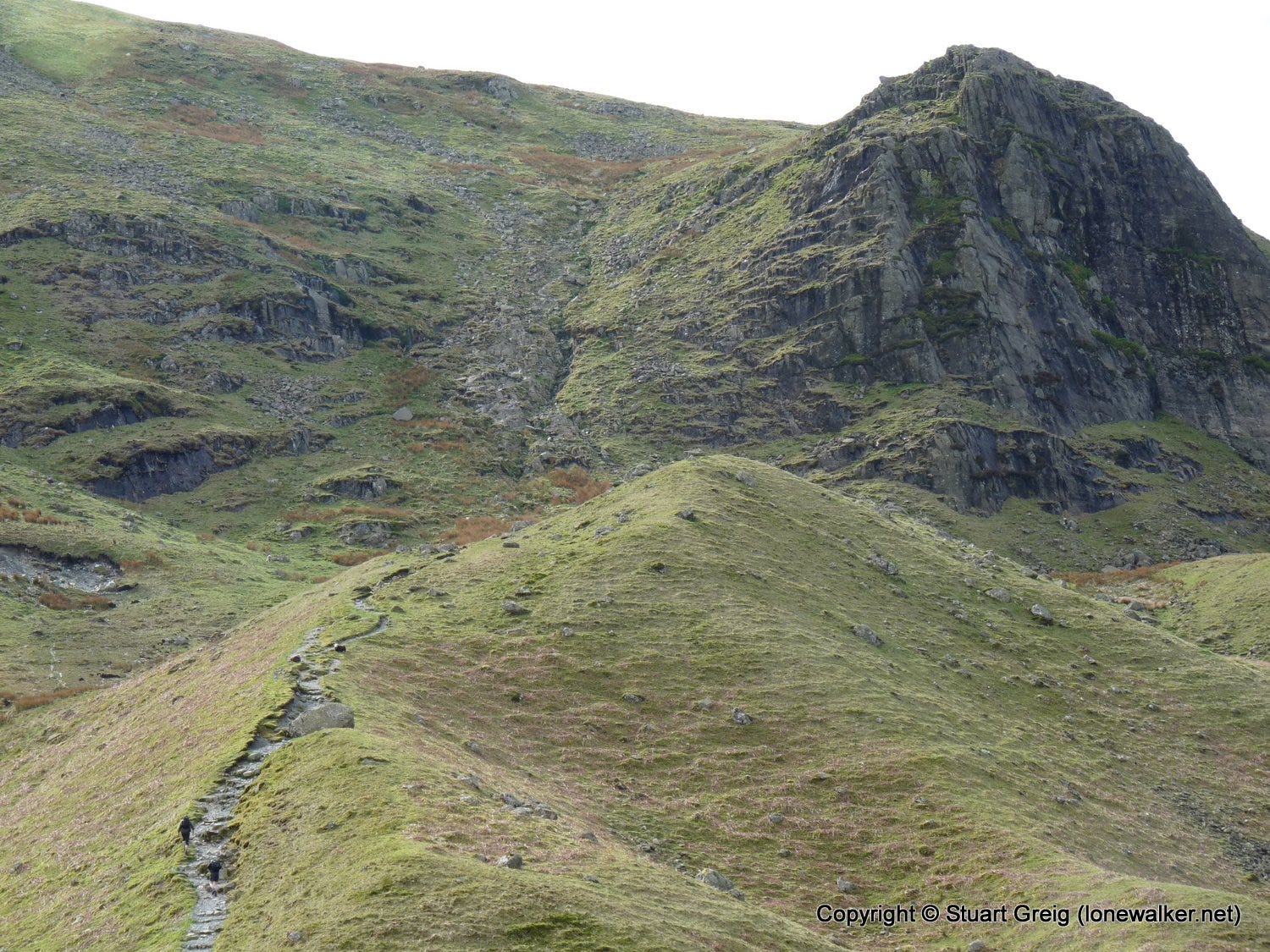
Lining Crag (3744). This involved a steep scramble up the rocky gully to the left of the crag.
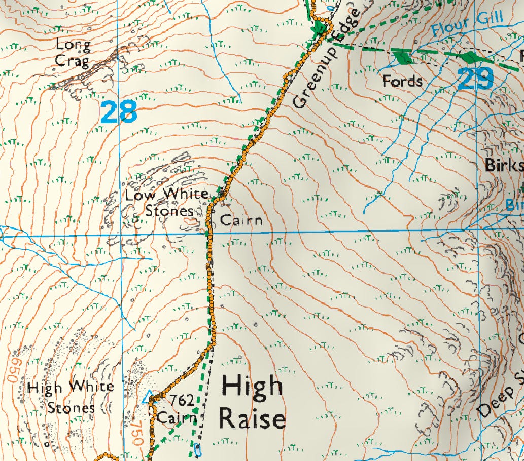
Leg 2: Greenup Edge to High Raise
Looking back towards Eagle Crag and Greenup Gill.
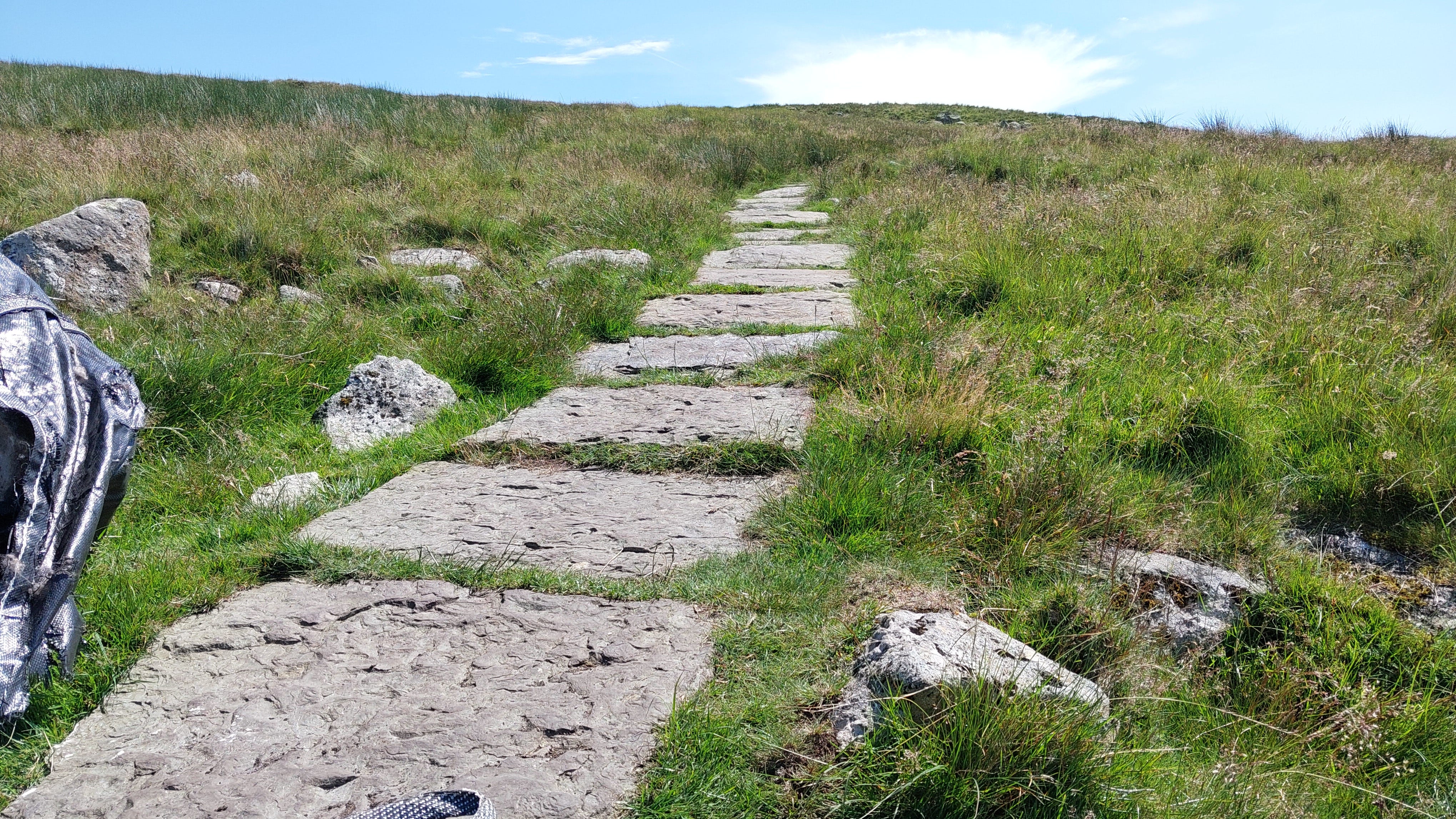
We all owe a pint to the team members that built this path. It must have been over half a mile long, and made for very quick progress, without poles.
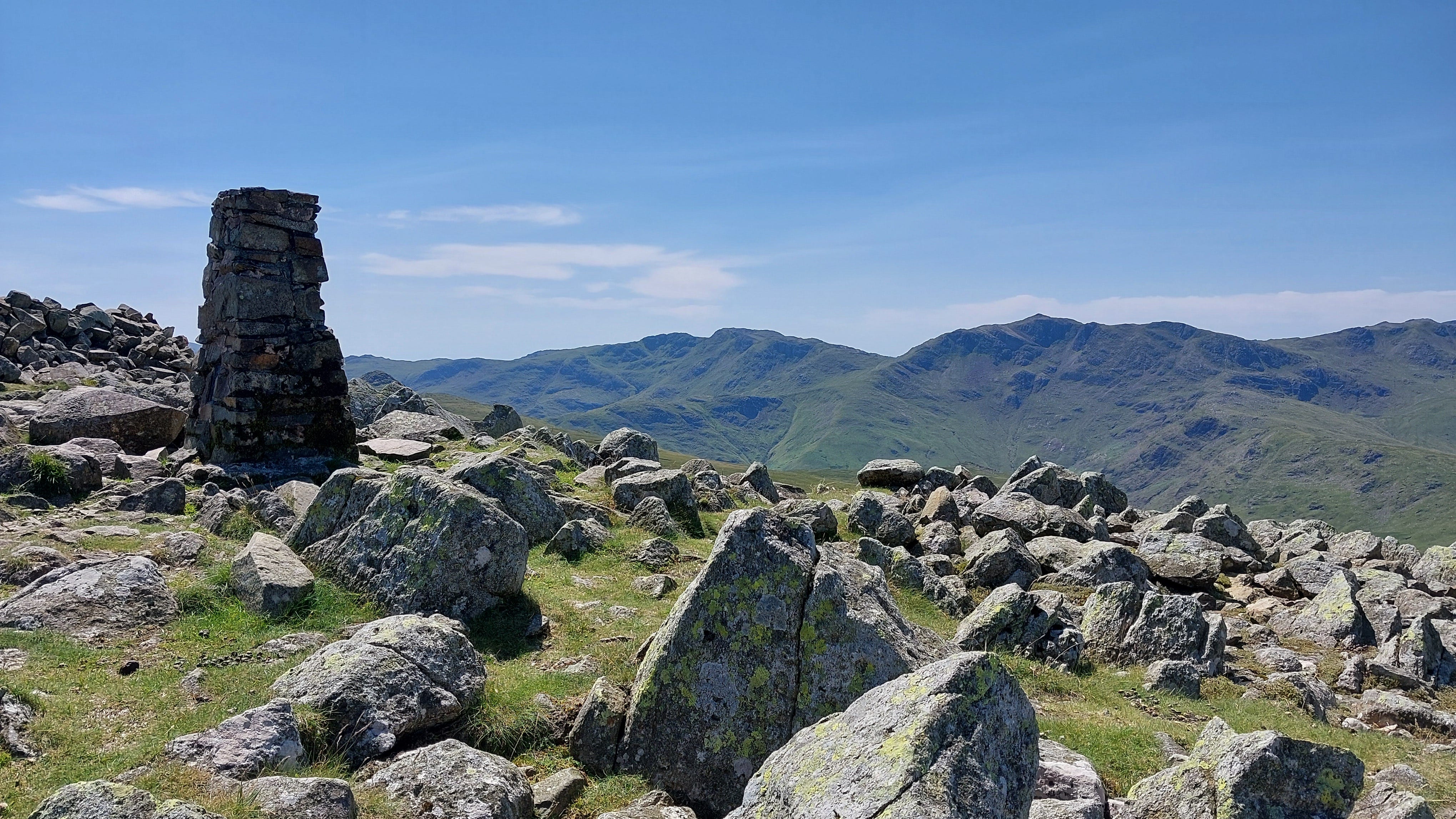
The summit cairn on High Raise.
Glaramara and Rosthwaite Fell. You could almost be in the French Alps.
Looking north towards Derwent Water, Keswick and Skiddaw.
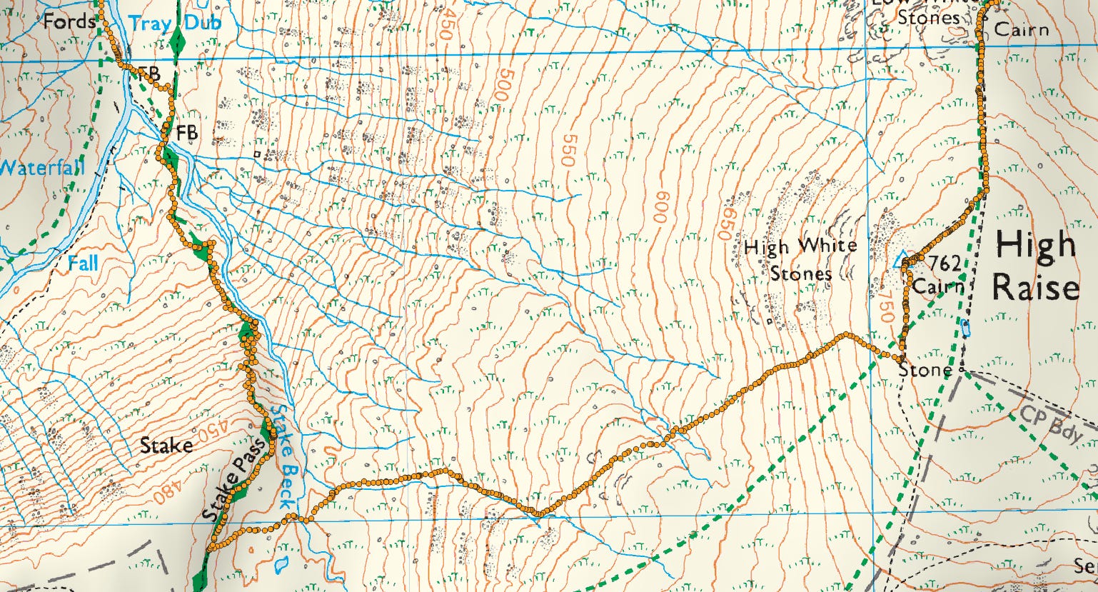
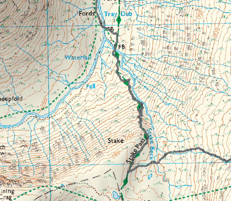
Leg 3: High Raise to the Langstrath Valley via Stake Pass
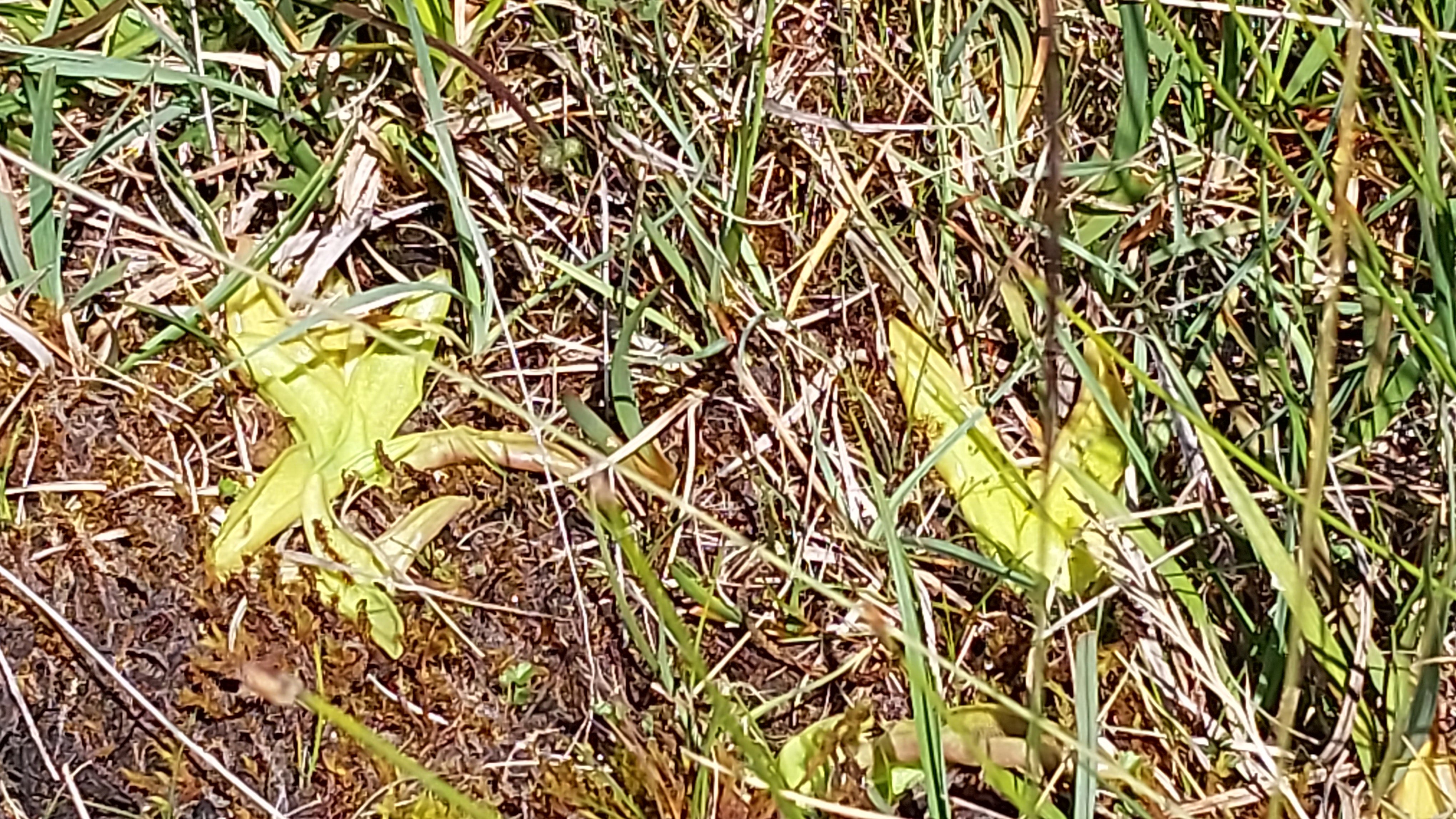
For insectivorous plants to survive, they need a permanent supply of groundwater. This part of Stake Beck was home to both round-leaved sundews and the common butterwort (Pinguicula vulgaris).
After my experience descending from Seathwaite Fell, I was mentally prepared for more of the same. But I needn’t have worried. All you had to do was to follow the zigzags and hairpins of a well-prepared, safe path down.
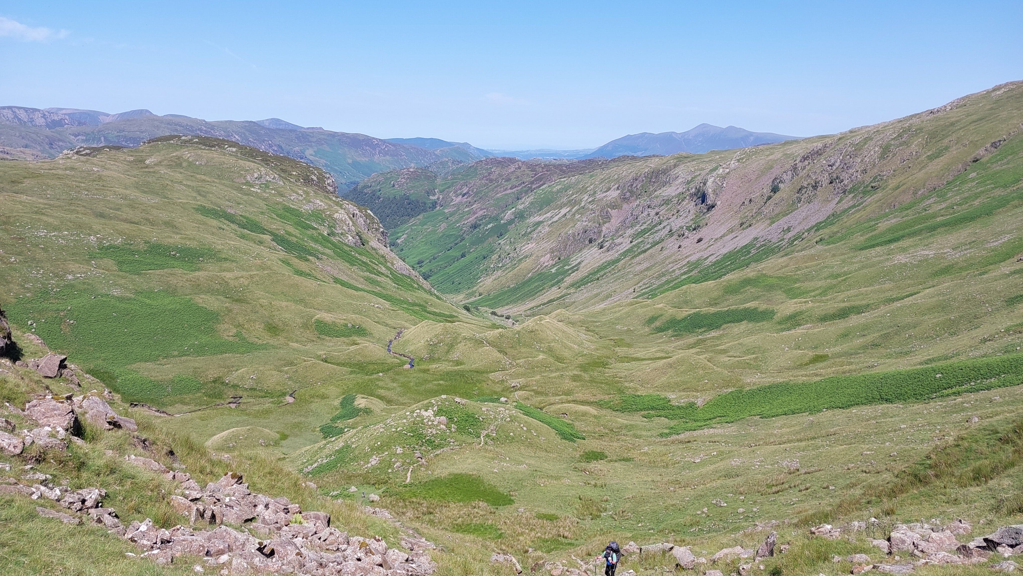
The Langstrath valley, leading back to the ascent path up Greenup Beck and Stonethwaite Beck (left).
I must have passed about two people since I left the summit. There was no cell coverage to raise an alert with, so always share your route and departure times with someone. You are very much on your own!
A waterfall on the Stake Beck descent. On the left of the shot, frost has cleaved off the face of the gorge, exposing fresh rock. These rocks are iron-stained volcaniclastic tuffs and rhyolitic ash-flow deposits, formed during the Ordovician period over 450 million years ago.
The tuff was formed by the deposition of volcanic ash under water, and this and other narrow bands of tuff are interspersed with bands of ignimbrite, resultant from the deposition of lava (Taylor et al 1971).
Although originally a horizontal band, this now slopes down to the north, and outcrops mainly on the faces of Pike of Stickle and Harrison Stickle in the Langdale area. The band has been eroded by glacial action and detached blocks of the tuff are present within morainal mounds, as well as scattered as scree across the slopes of the Great Langdale valley.
From “Site 123, Harrison Coombe, Great Langdale Cumbria. Archaeological Excavation” (2004)
Leg 4: Langstrath Valley to Borrowdale via Stonethwaite Beck and Galleny Force
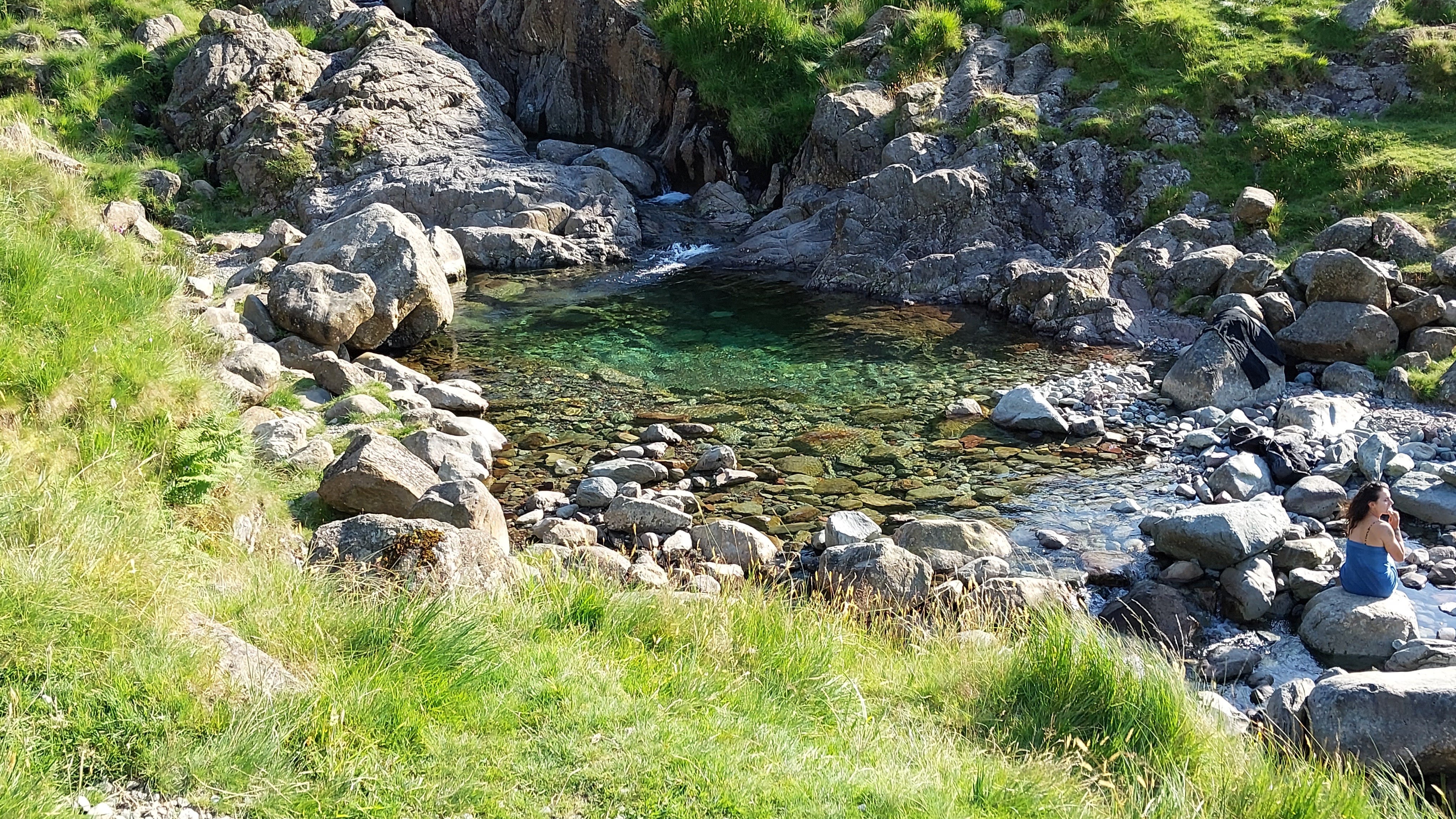
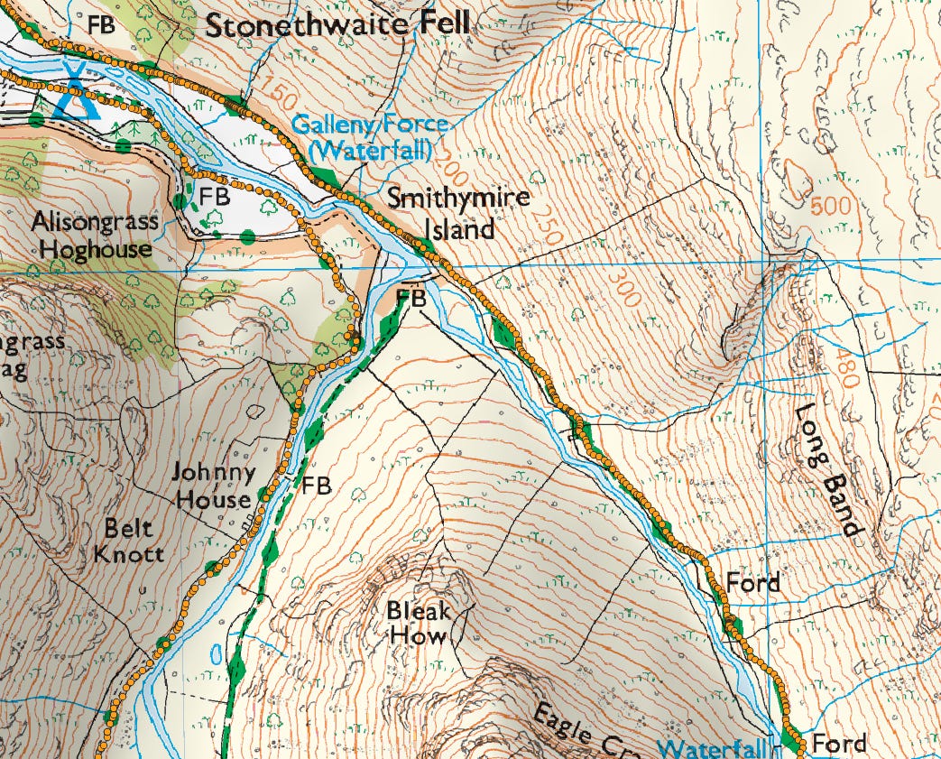
You follow the beck for two miles. I opted for the path on the far bank, but it wasn’t the best choice, as it was boulder-strewn and even needed a brief scramble at one point. The floodplain at the northern end was strewn with the frame tents and gazebos of wild campers, and I passed them on their way back from swimming in the Stonethwaite Beck gorge pools.
A popular 4-mile walk for families is from Stonethwaite to the “Fairy Dell”, at Galleny Force, using the path on the south bank.
Galleny Force. I spent a few pleasant minutes here and got a couple of stereoscopic shots.
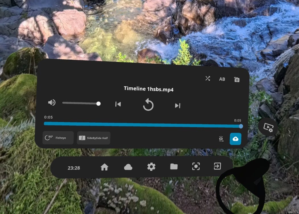
To view the 3D version below, set DeoVR as follows (SideBySide Half, 180° Fisheye):
Ideally, I need to use a slower shutter speed so the water looks better, but I have 4K movie footage with sound too, which should give a great sense of immersion.
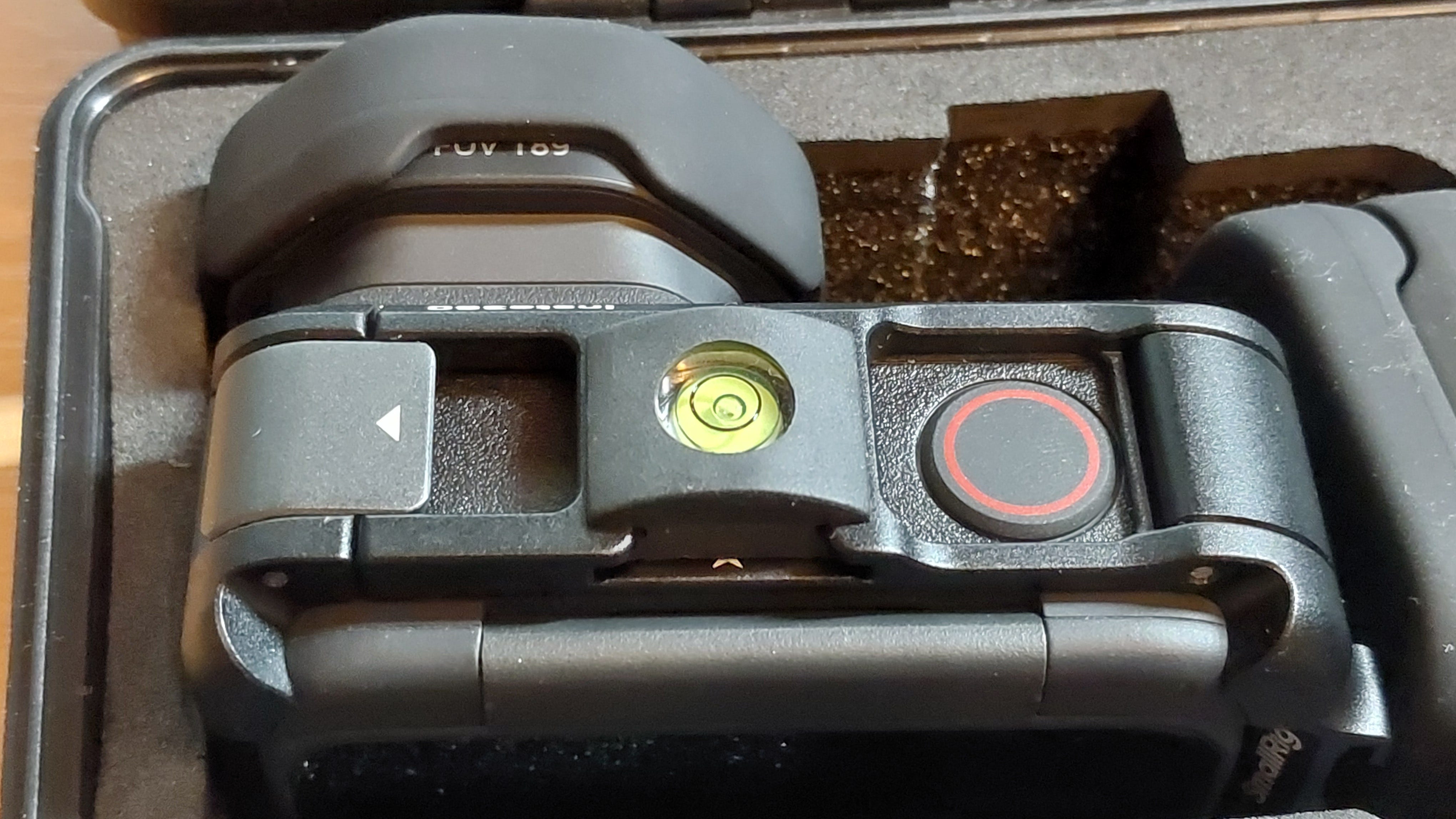
You can use neutral density (ND) filters in place of the lens guard, but you can’t use these with Ace Pro2 fisheyes. One reason is that the cameras are waterproof down to 39 feet (12 meters) without any protective case, and filters would likely compromise this.
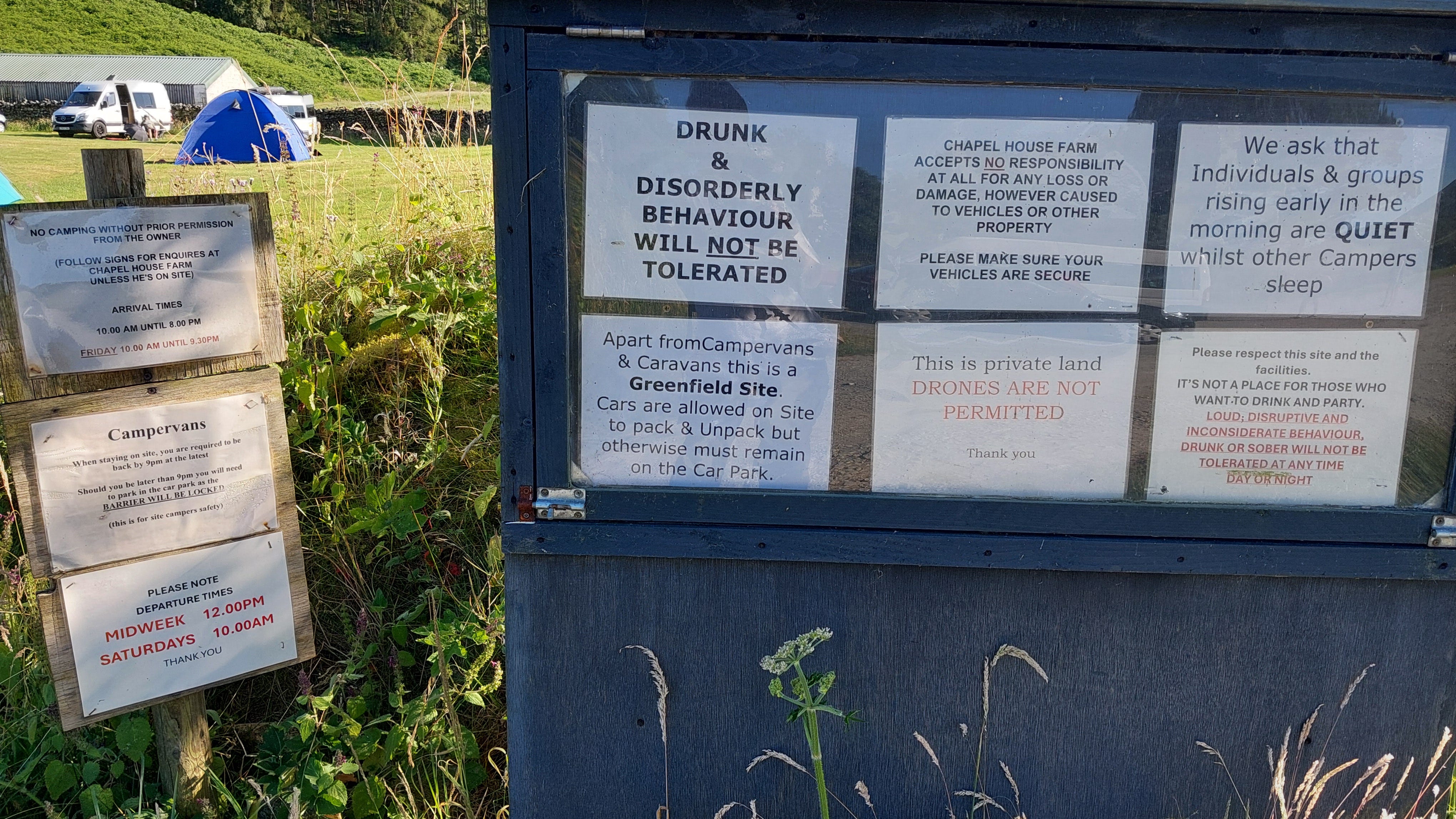
The route takes you right through a campsite. I won’t name it, but it seemed to have more warning notices than pitches, and there were more elsewhere on site. I tend to avoid sites like this.
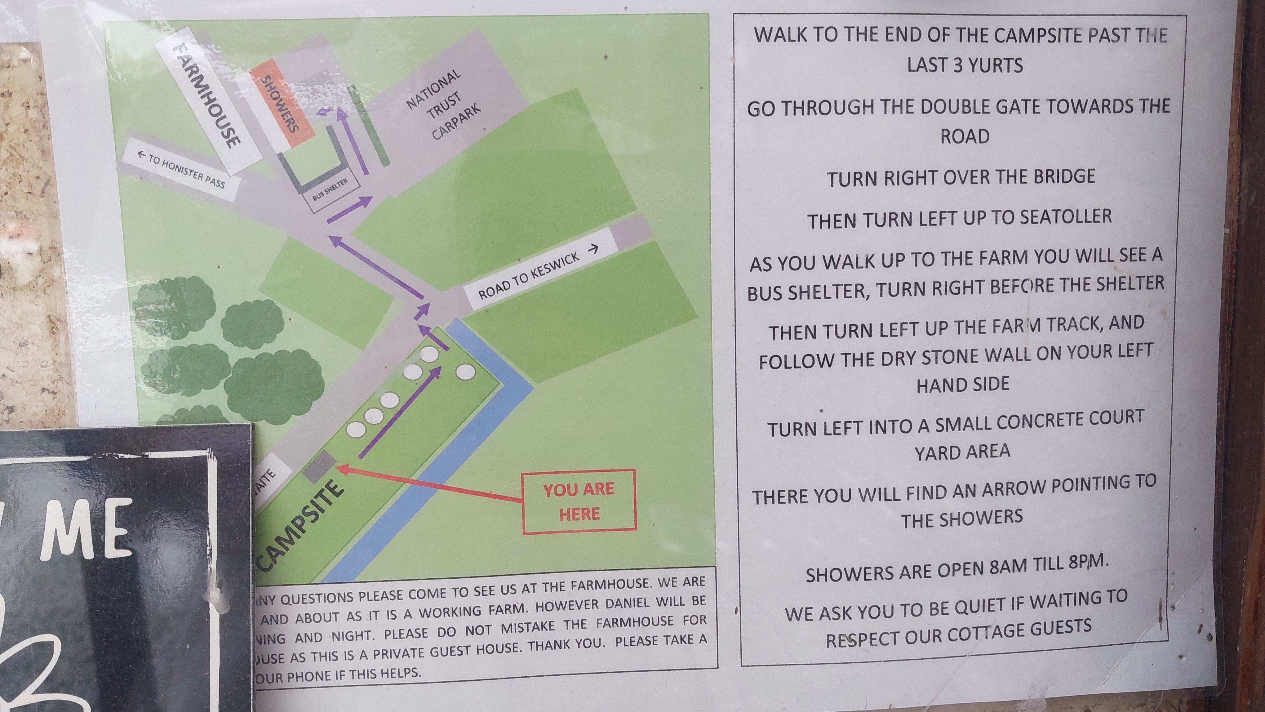
In contrast, Seatoller Farm gets by with only two key notices: “Don’t turn up without a booking”, and this map of amenities.
Camping tech corner
I’m not affiliated or sponsored in any way, just looking for better solutions and sharing my own experience.
Bing Maps deprecated Ordnance Survey API key support - what’s the workaround?
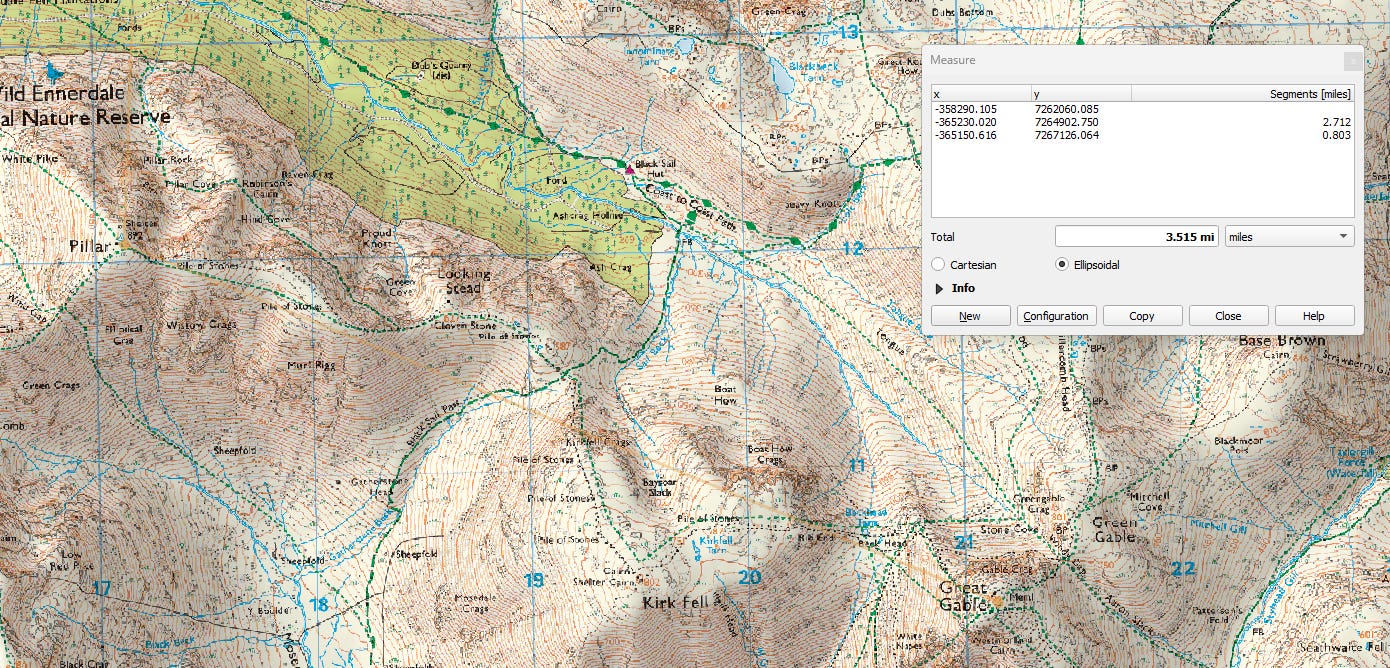
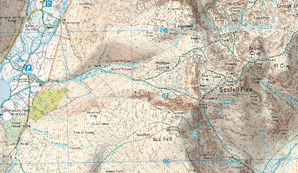
I’d been using a free Microsoft O/S API key in MOBAC to create localised 1:25,000 maps for my Garmin GPSmap 67, but this stopped being supported on June 30th, 2025.
After exploring several options, I found that I could get an API key directly from Ordnance Survey, provided I registered for a Premium account. You need to lodge a payment card with them in case you exceed the free Premium monthly data limit of £1,000.
I normally use a few pence each month, but I still recommend using a low-balance virtual debit card. The key thing is to make sure that you don’t share your key, or let a bot take control of it. Other than that, I can get all the latest maps I need for free.
Despite repeated attempts, I couldn’t get MOBAC to work with the key, as it kept triggering DDoS-type server alerts and data errors.
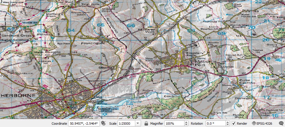
After looking into alternatives, I came across free mapping software called QGIS, which gives you everything you need, and more, via plugins.
The workflow involves creating and blending the following layers before exporting with a Garmin KMZ plugin:
A digital elevation model (DEM) layer, eg Copernicus GLO-30 (30m).
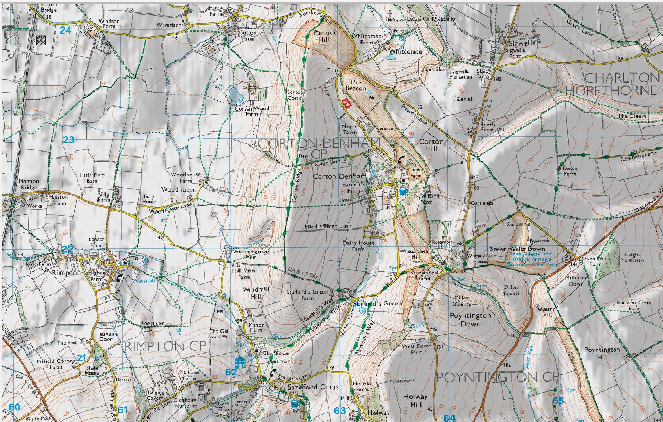
A hillshade layer.
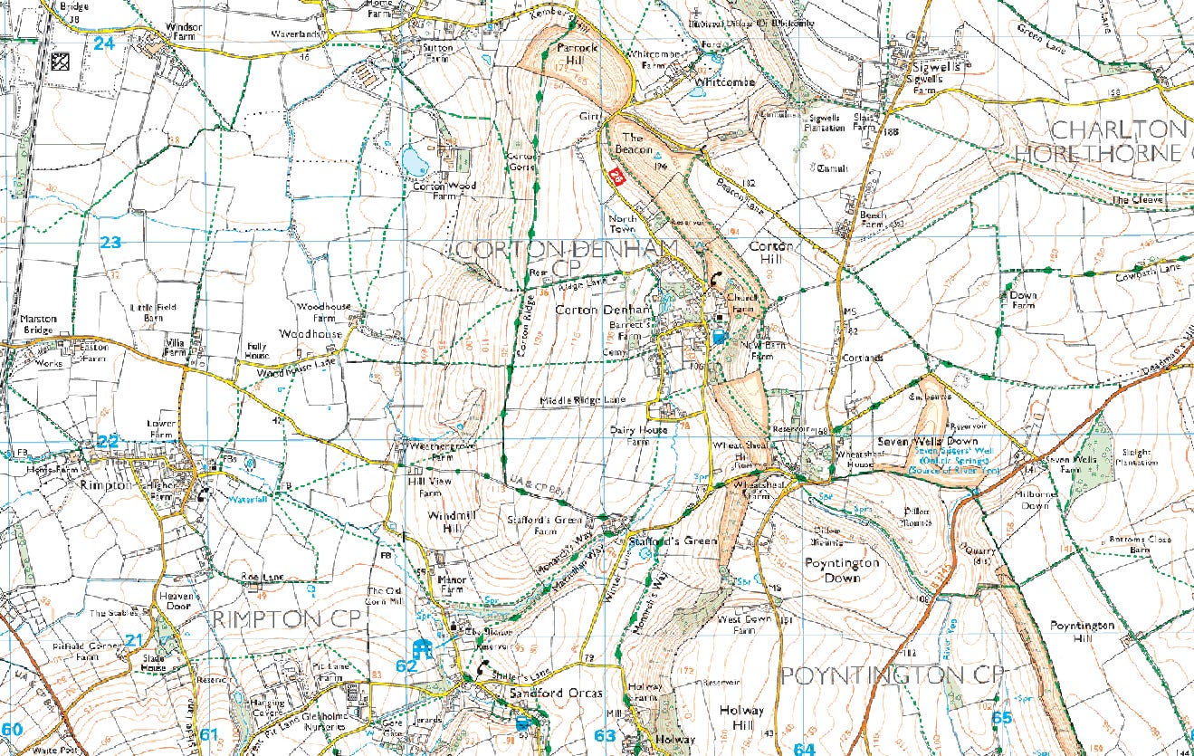
An O/S API-linked UK raster mapping layer.
Set the Project Coordinate Reference System (CRS) to suit your location and map type. For O/S maps, EPSG: 4326 - WGS 84 works very well.
You can use EPSG: 3857 - WGS 84 / Pseudo-Mercator for undistorted viewing on a monitor, but do not use this for export to Garmin.
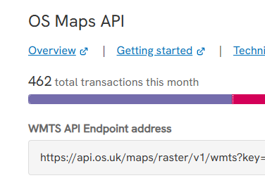
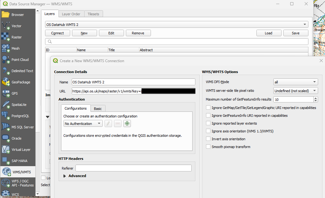
1/ Enter the O/S premium data URL with API key in the Data Source Manager.
You get this from your O/S API Projects page:
2/ Generate a UK DEM layer, using Copernicus.
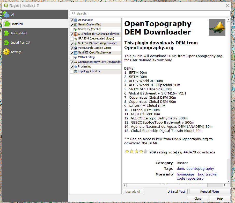
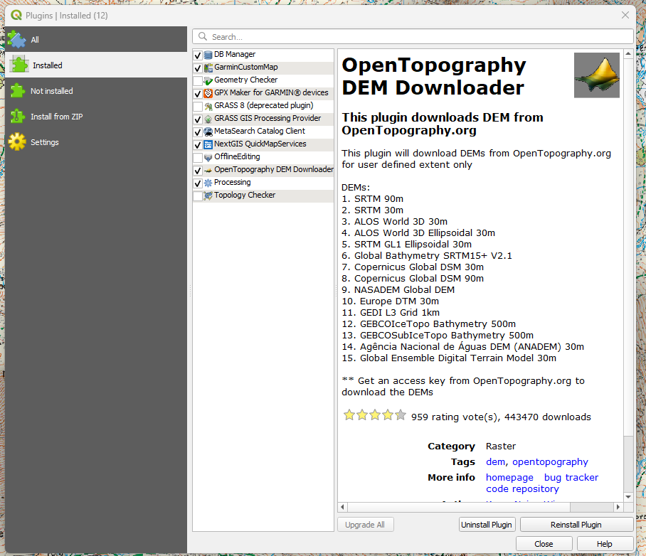
Go to the OpenTopgraphy site, open a free account, and request an API key.
Download the free plugin:
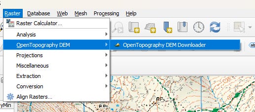
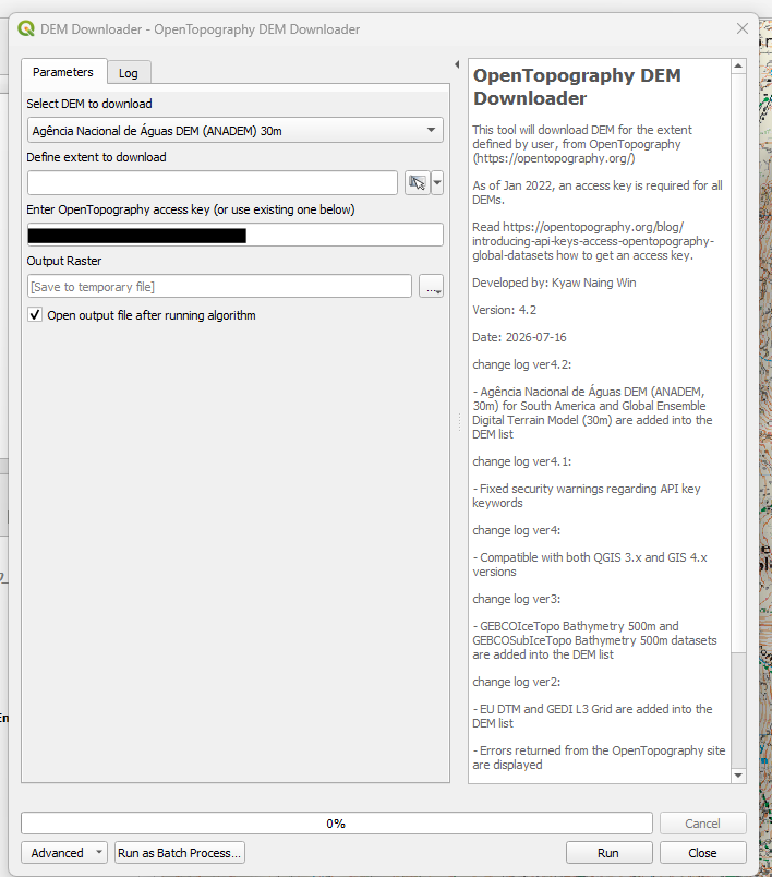
Load the DEM Downloader applet from the Raster menu and enter the API key (no URL):
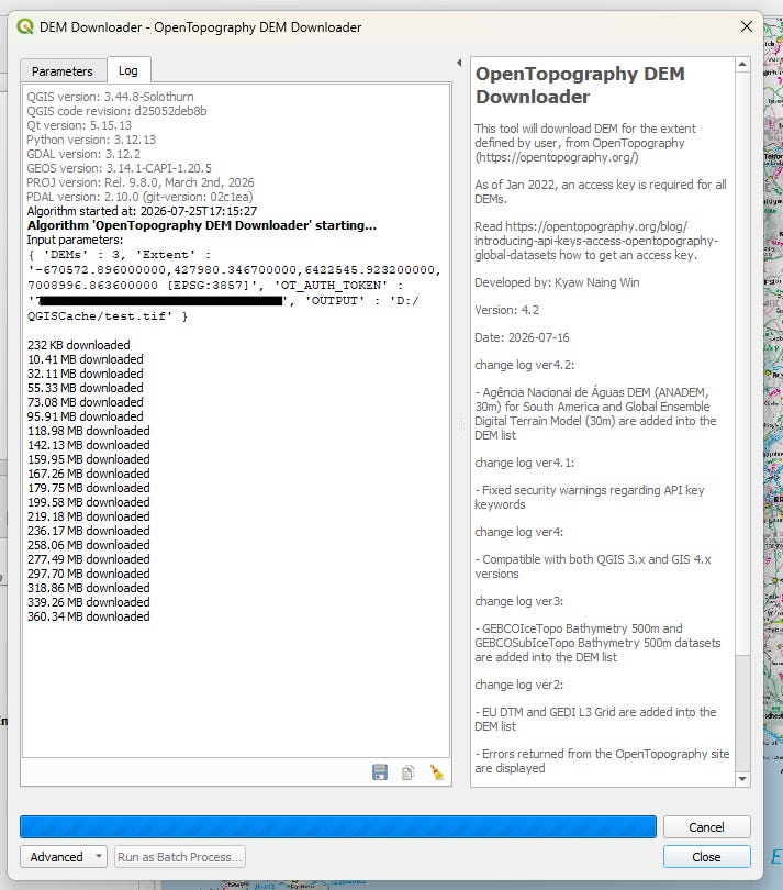
Zoom out the map to cover your hiking area. I zoomed out to cover the width of the UK, and managed to map the entire UK in 3 huge .tif files (1 - 2 GB each)
Change to Copernicus Global DSM 30m, and click the icon to auto-set the extents, set an output path, then click Run:
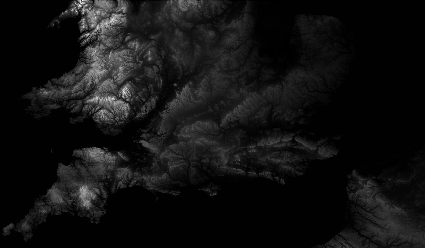
The output is added and enabled, creating an awesome-looking effect:
3/ Add hillshade to the DEM layer.
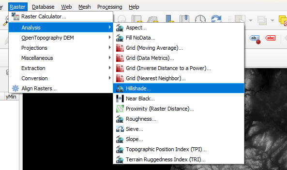
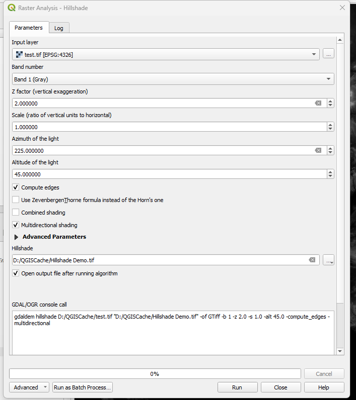
Go to Raster > Analysis > Hillshade to add a permanent hillshade layer:
Experiment with this, but multidirectional shading works very well:
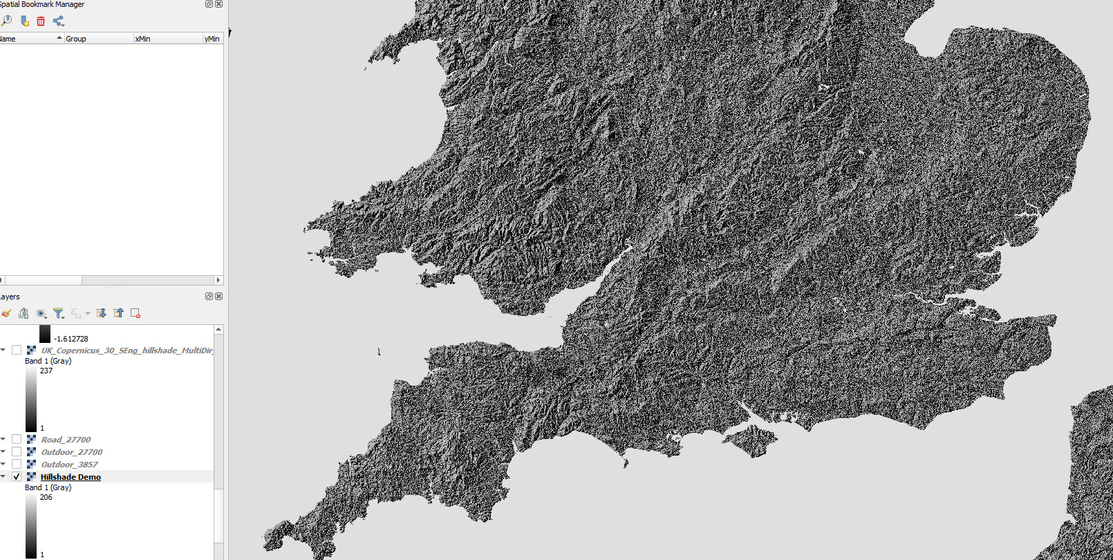
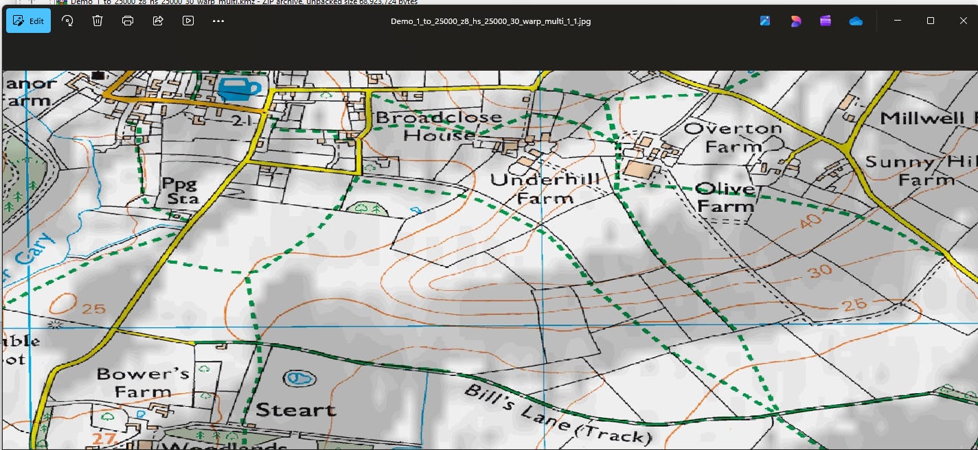
And you get this effect:
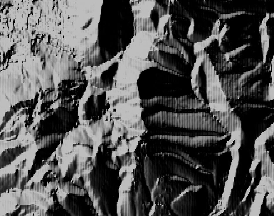
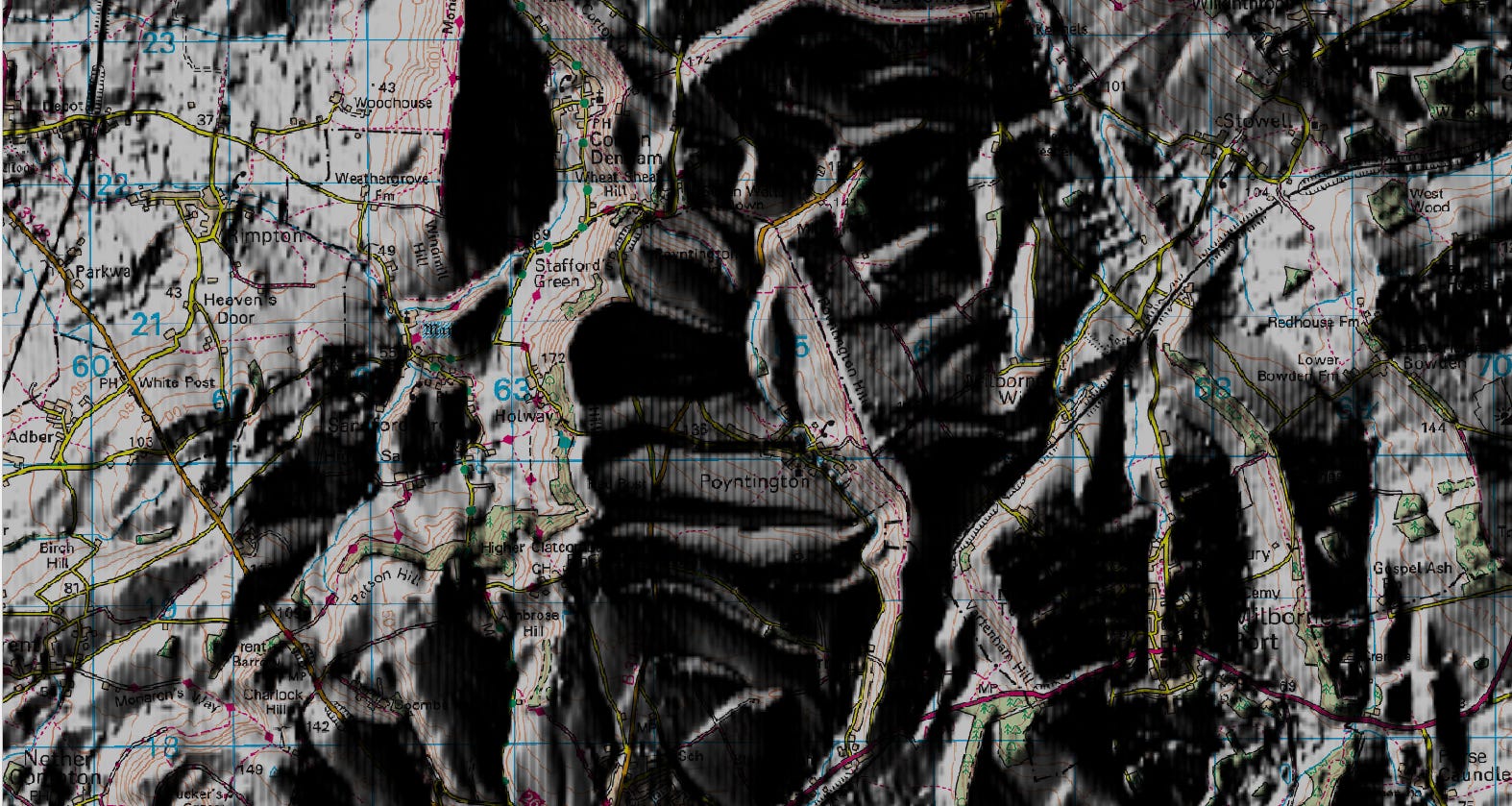
If you zoom in, the shading is stripy:
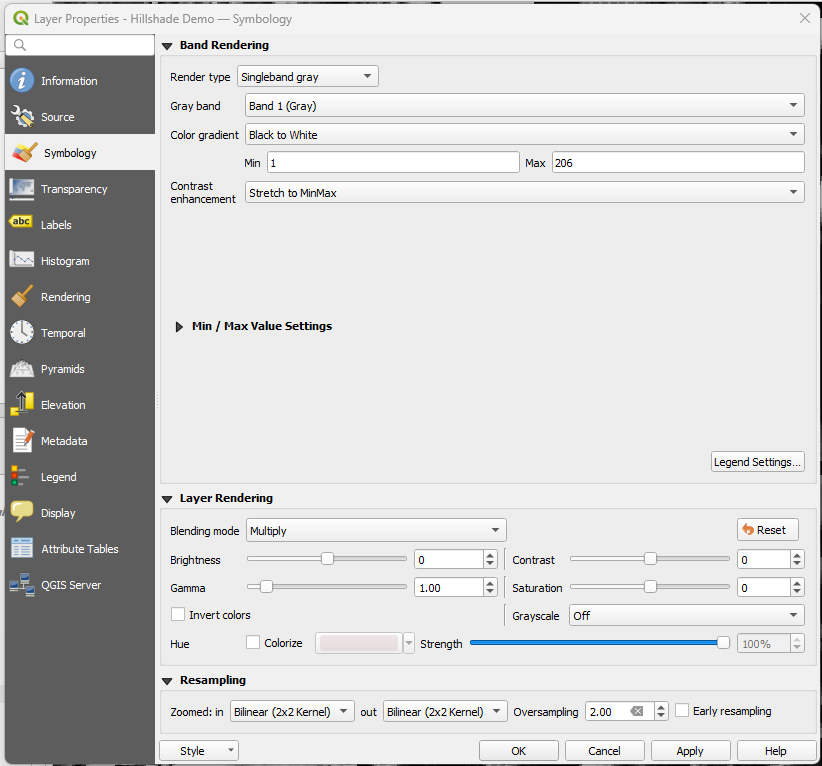
Improve this by right-clicking on the hillshade layer and applying these resampling settings:
Like an evil mastermind, your creation will start to come to life:
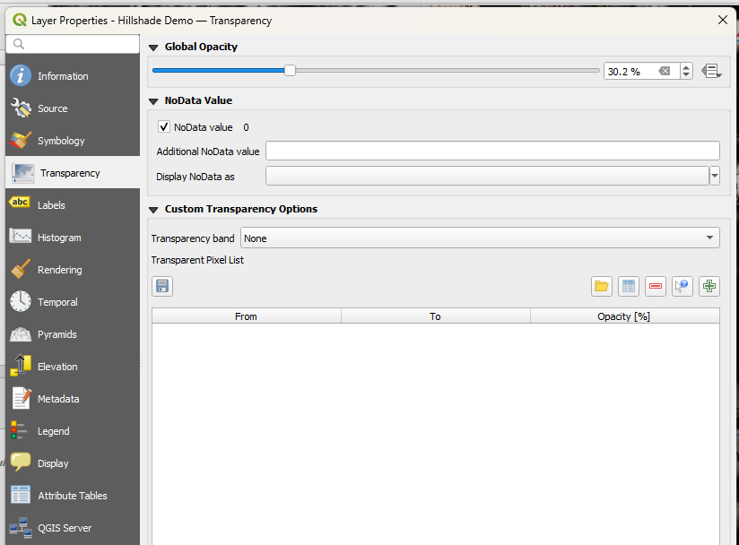
Then go back into layer properties > Transparency, and turn it down to suit, e.g. 30-50%:
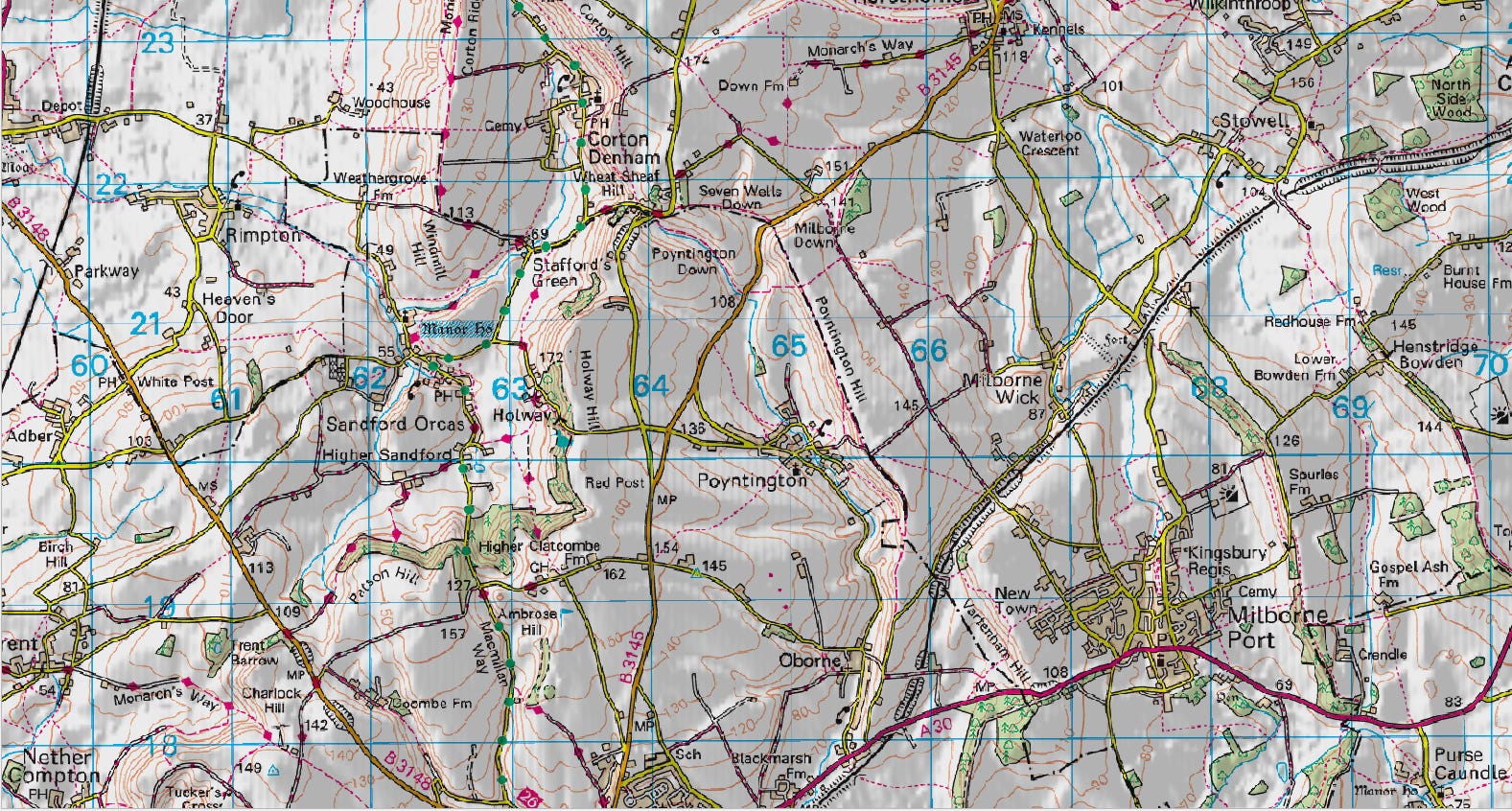
In practice, I can’t see the striping on my GPS display, and even if you zoom in, it works well, bringing the contours out of the terrain.
Before:
After:
4/ Export to Garmin as a KMZ file.
Download the free GarminCustomMap plugin from here.
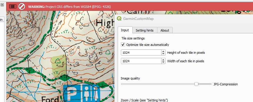
Change the map CRS back to 4326. If you don’t, it will warn you.
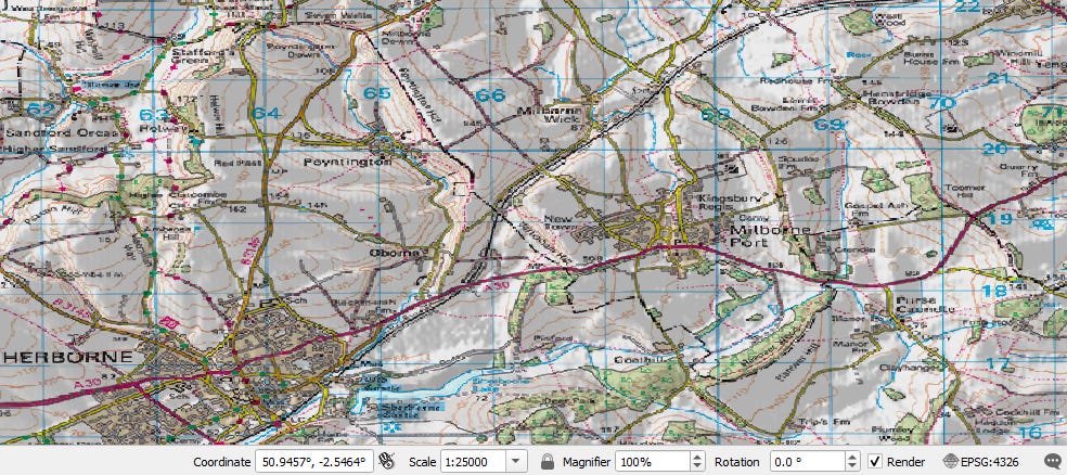
Set the map zoom scale to 1:25,000, as the plugin uses the current QGIS view extents.
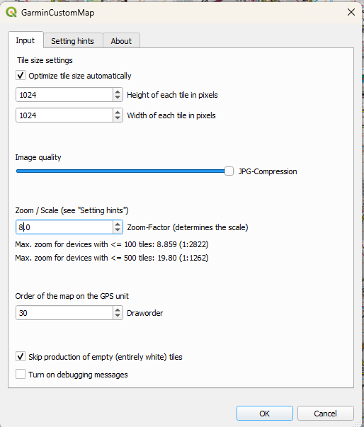
Run the plugin from the menu, or from the icon on the lower taskbar:
I use these settings for 1:25,000:
Then wait for the hourglass to clear, and for a green status bar.
20 - 1 : 10,000 - Maximum scale limit for advanced devices (e.g., Montana)
If you overzoom without adjusting the map scale, this reduces the finished map raster resolution, which you don’t want.
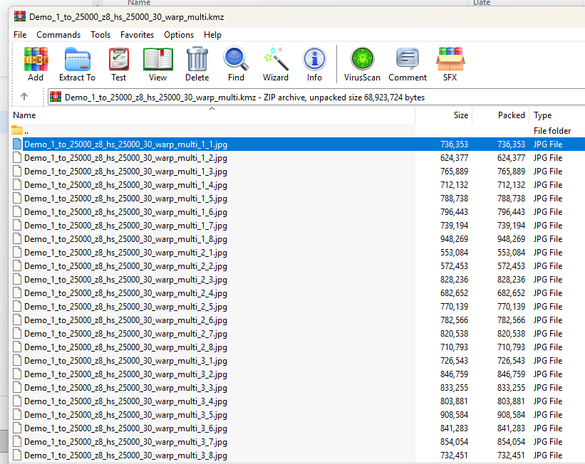
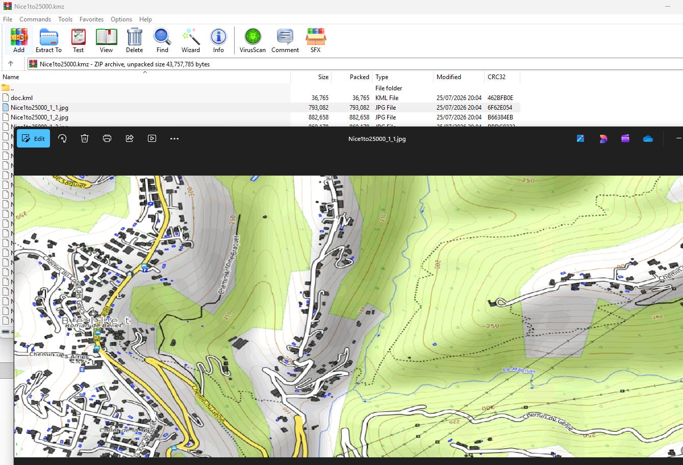
Load the .kmz file, and you should see dozens of .jpg files, which are Garmin-compliant in size and number. This varies by device, but the great thing about the export plugin is that it keeps within these limits:
Guidelines for Creating Custom Maps
More than one jpeg can be in a KMZ file.
The only kml file that will be processed is a doc.kml, inside the KMZ file.
JPEG files are the only supported image type.
JPEG files must be saved without Progressive Image (typically found under advanced options).
KMZ files are read from \Garmin\CustomMaps directory on both the device’s internal memory and on the SD Card.
Garmin BaseCamp™ software will display custom maps; however, custom maps cannot be sent from Garmin BaseCamp™ to a product that supports custom maps. Custom maps must be manually placed in the CustomMaps folder of the device they are to be used on.
Overlander® navigator users: The CustomMaps folder needs to be created and added to the first Garmin folder on the device.
Images over 1 megapixel (1024x1024 pixels, 512x2048 pixels, etc.) will be rendered at a reduced resolution on the device. If this is causing a problem for your map, you can split the image and use multiple JPEG files inside of one KMZ file.
Each JPEG file should be less than 3MB.
The max number of custom map JPEG images that can be loaded is 100 for most supported devices. Exceptions to this are:
It will appear to be warped on a PC, but correct on the device.
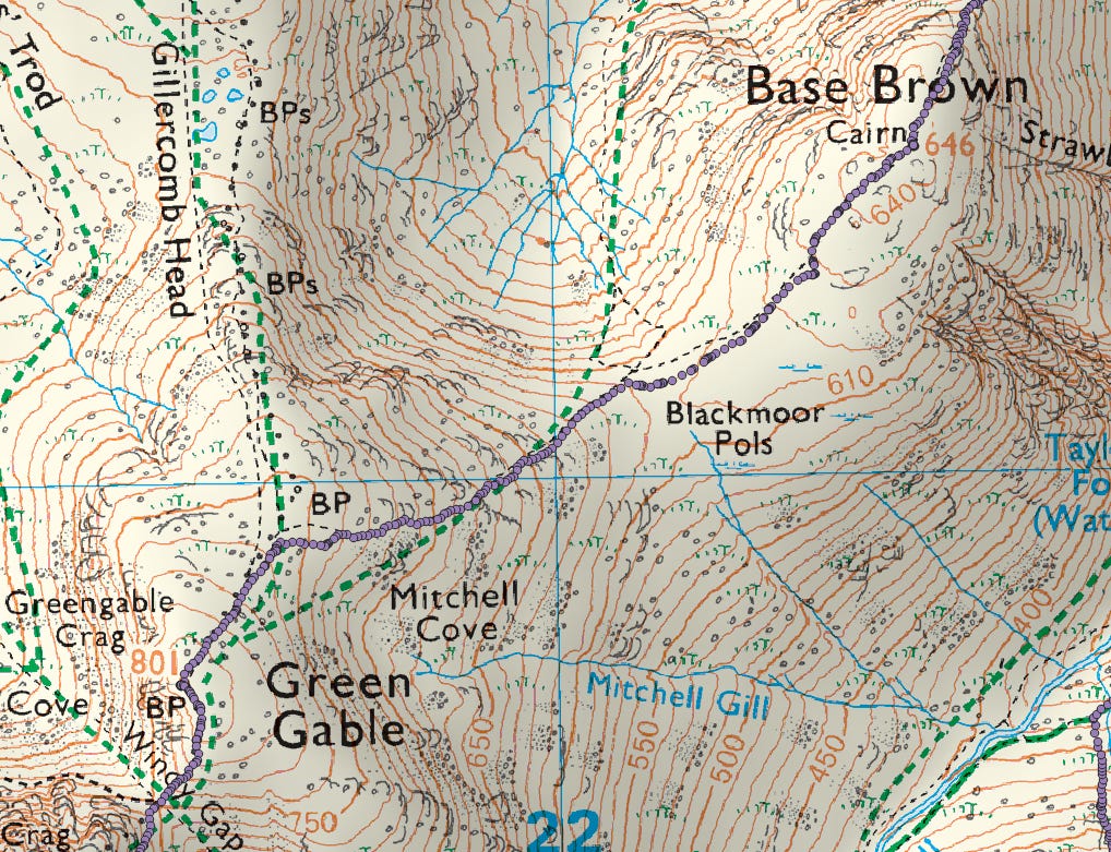
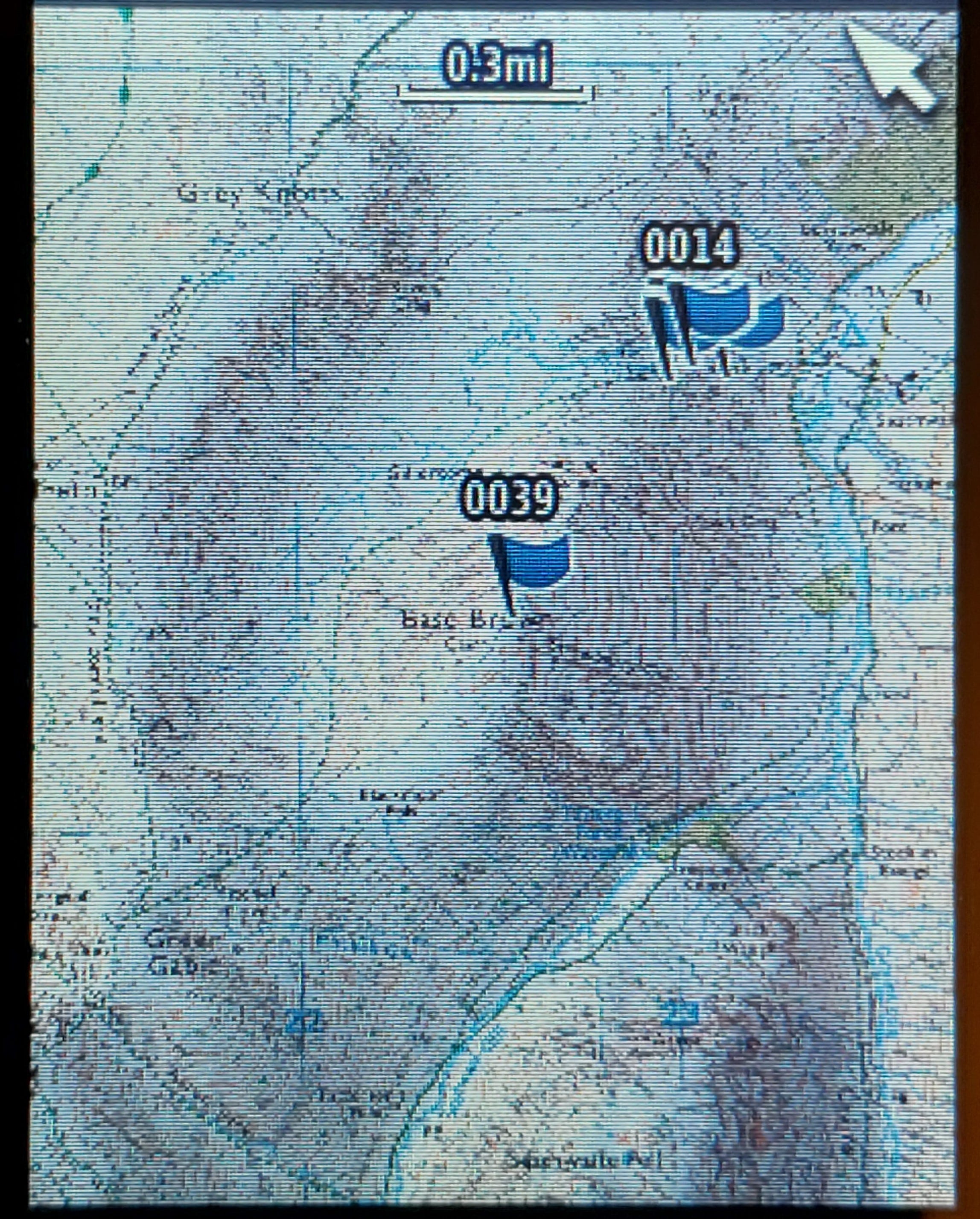
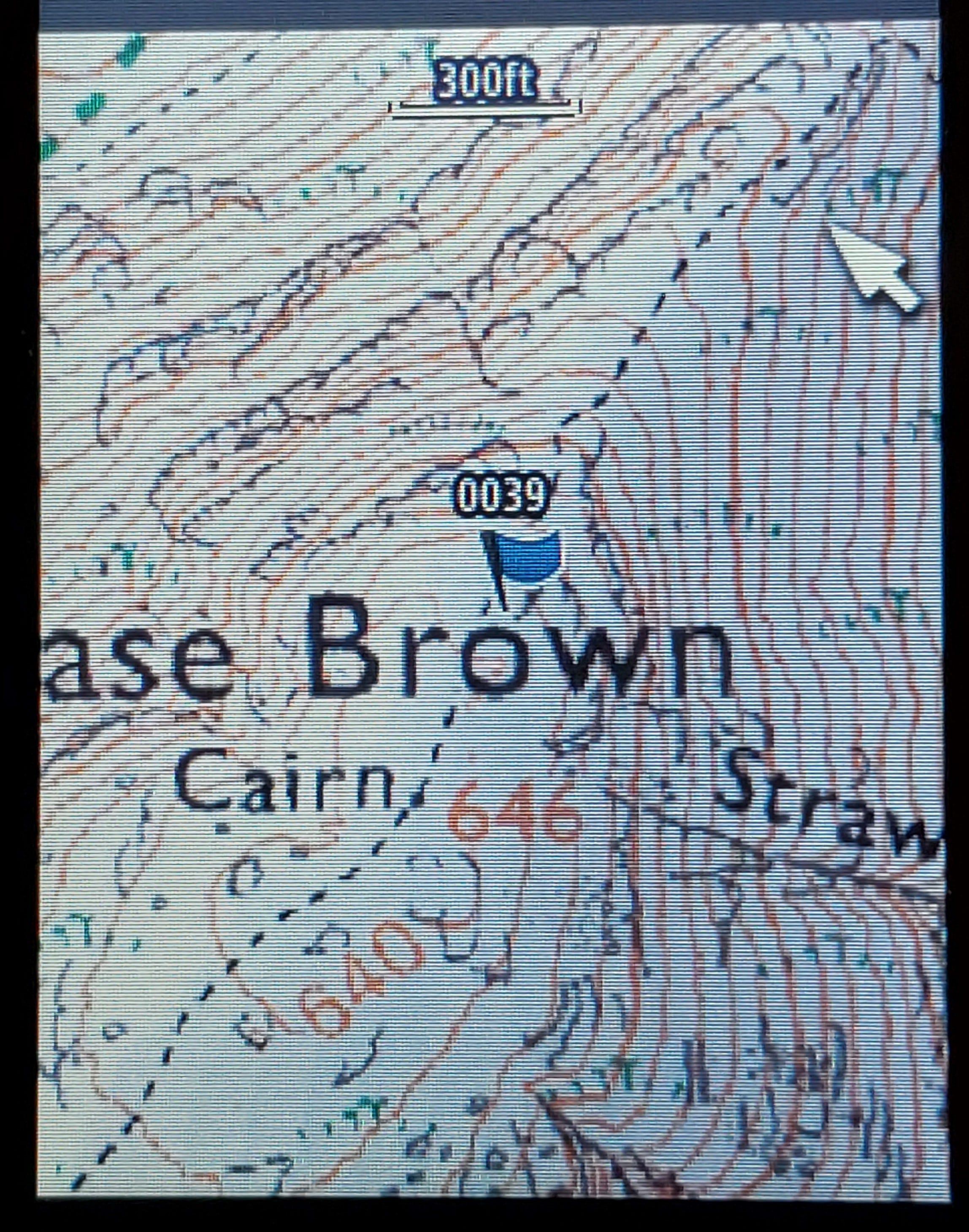
This is what Base Brown looks like on my GPS, and it’s sunlight-readable:
(In practice, the pixels are invisible)
You can then overlay your route etc.
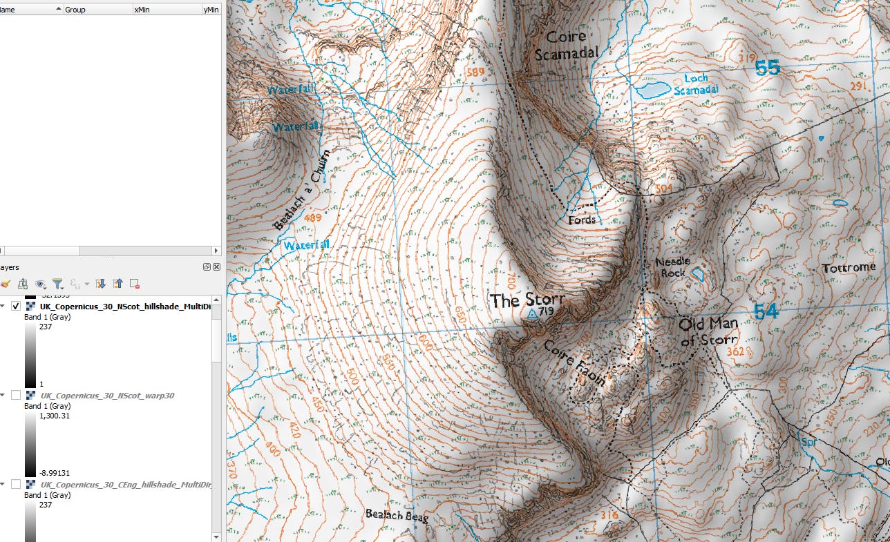
It’s complicated to set up, with a steep learning curve, but once your DEM files and settings are saved it takes seconds to map out your next route.
From the Isle of Skye, using my pre-saved North Scotland DEM and hillshade layers
5/ You can preview the topography and your route planning in QGIS by using the 3D Map Views feature.
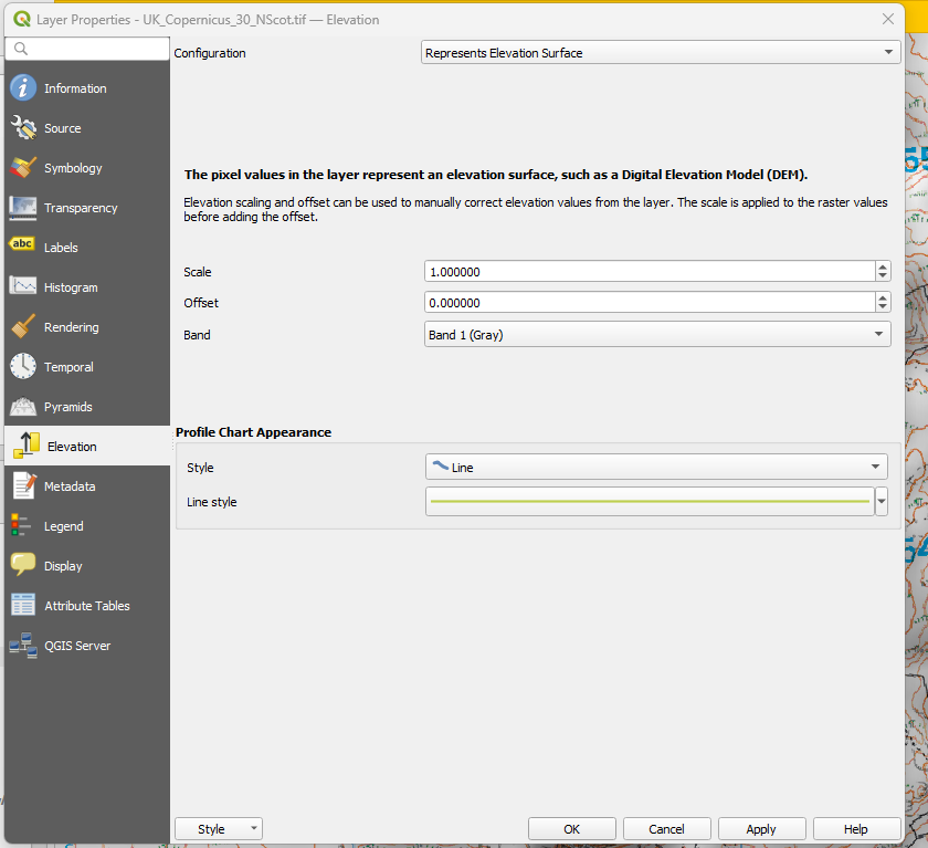
Right-click on the DEM layer, and enable elevation under Configuration:
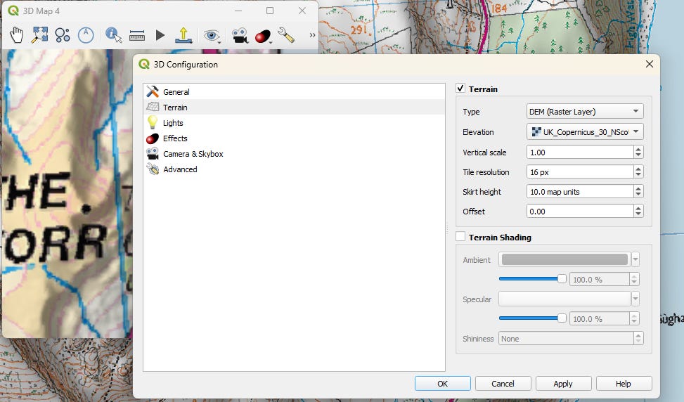
Assign the same DEM layer to Terrain in 3D Configuration.
Go to View > 3D Map Views > New 3D Map View and click on the spanner, using settings similar to these (DEM, plus your DEM file layer):
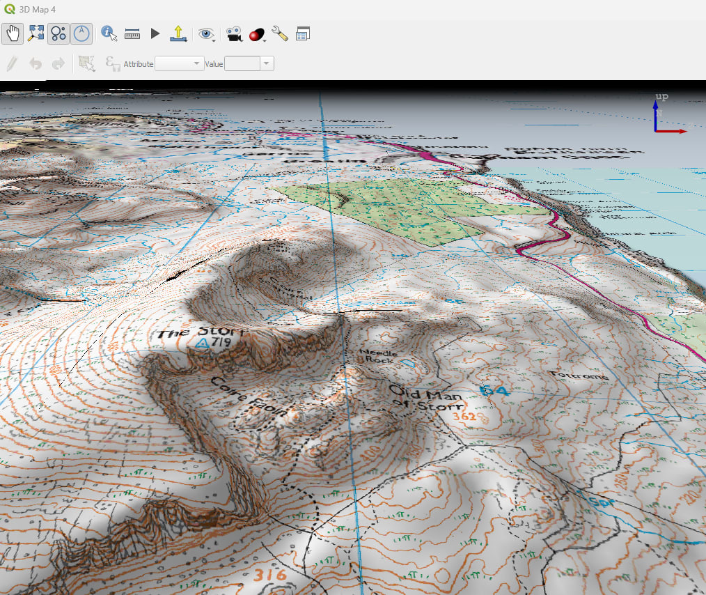
The map port will come to life. Use the middle mouse button to change the view, and click the red button to enable synthetic shadows, if you haven’t already added a hillshade layer.
Drag the corner of the viewport to increase the size.
3D view, with DEM and permanent hillshade
You can use other map sources for different regions, eg OpenTopoMap
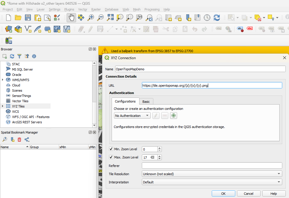
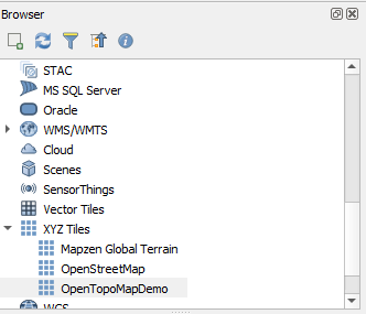
Go to View > Panels and enable Browser
Right-click on XYZ Tiles, enter the following URL, and change the max zoom to 17:
https://tile.opentopomap.org/{z}/{x}/{y}.png
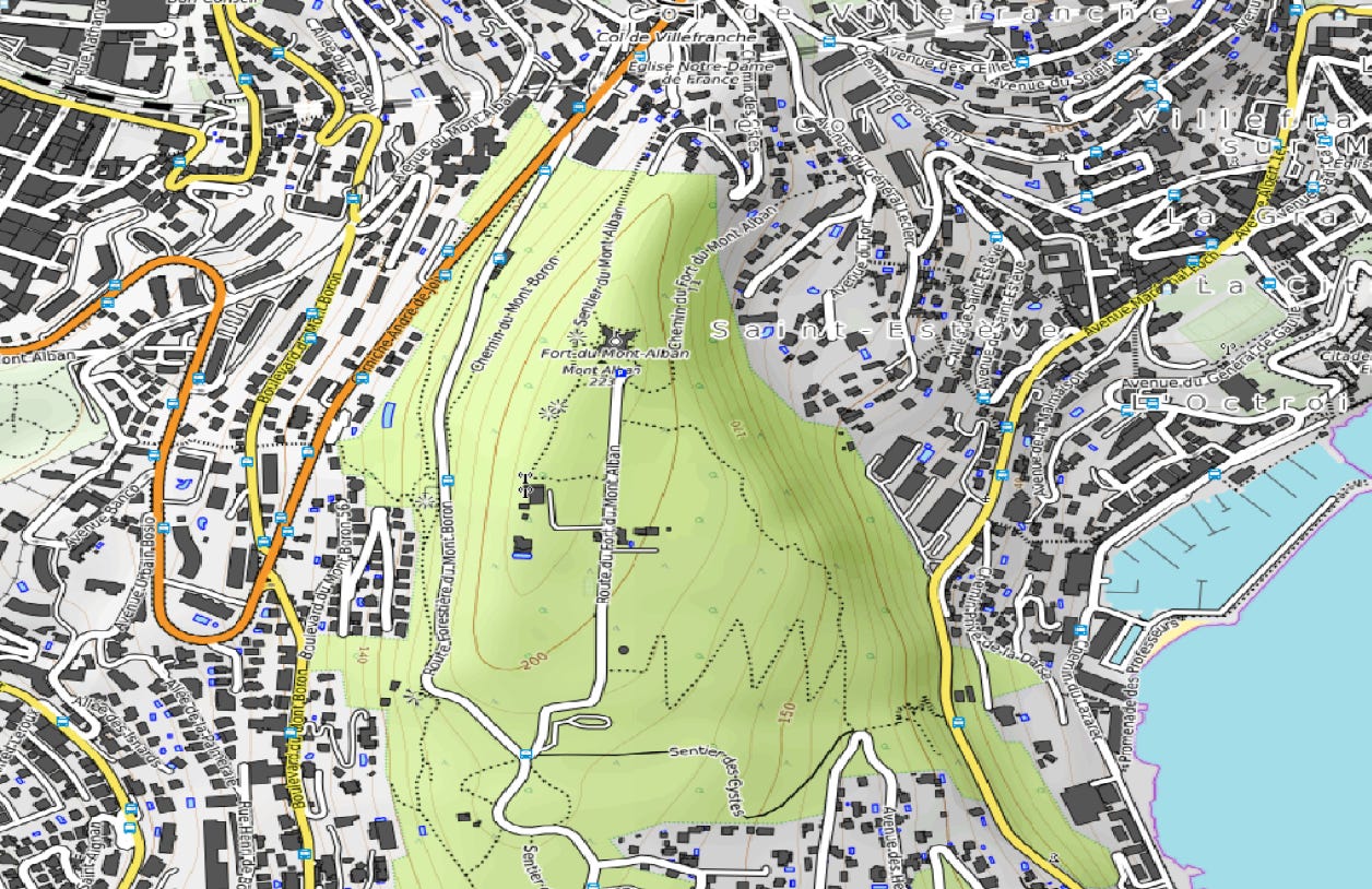
Expand XYZ Tiles, double-click on your new layer, and view the result:
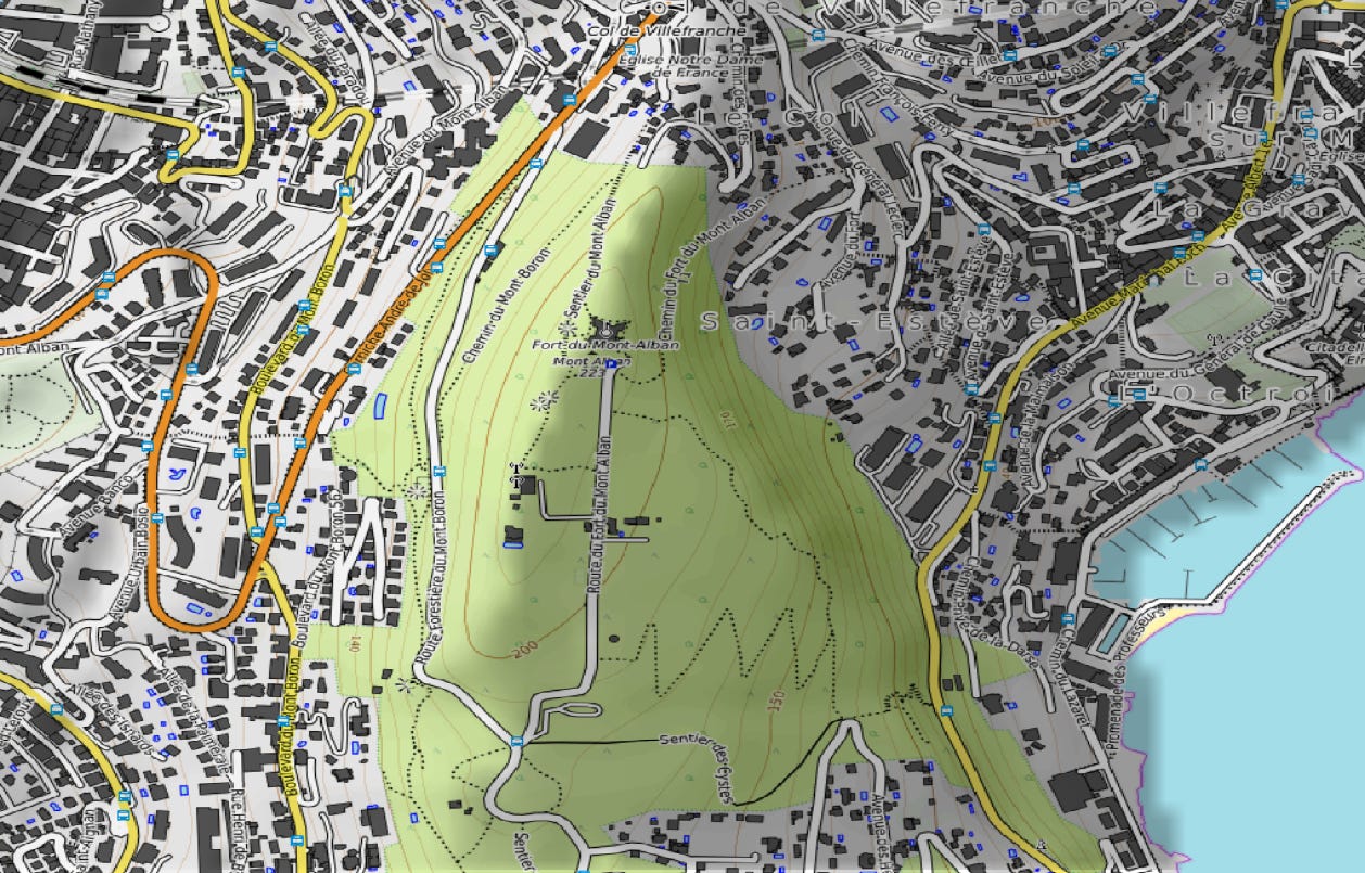
Add a DEM layer and hillshade as before. Don’t forget to disable display of your DEM layer:
Fort du Mont Alban, Nice
Export to Garmin, and check your output in the .KMZ file:
QGIS is amazing, and I’m just using a small part of its feature set.
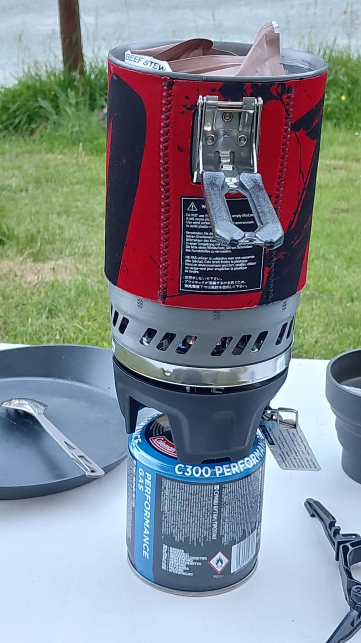
The Fire Maple Polaris X5 Cooking System: An alternative to the Jetboil Flash 1.0L
Just as fast to the boil as the Jetboil, it includes a pot stand and, unlike the Jetboil, it features a regulator that maintains constant gas flow as the cylinder depletes or cools, and it allows you to simmer.
I boiled up a beef stew and a pouch of Kashmiri potatoes in ten minutes with ease. And the best part? It’s ~half the price of the equivalent Jetboil.
There are some negatives though:
It’s heavier than the Jetboil, and better suited to staying in camp than taking to the summit for a brew. Fire Maple offers more portable models though.
It uses the old-style piezo igniter, which may be unreliable in damp conditions. Bring a backup lighter or matches with you.
The Star X5 Polaris Pressure Regulator Cooking System from Firemaple is a portable cooking solution for outdoor adventures.
The set includes a stove with an adjustable micro-regulator valve, a powerful electric jet burner, and an ideal camp water boiler.
Micro Regulated Valve: The micro regulating valve features incredible boiling performance in extreme weather and allows for a versatile use from simmer to a boil at the same time.
All In One Set: All components including a stove with pressure regulator valve, a pot with heat exchanger, a pot stand, a canister stabiliser and a separately sold 220/230g standard propane and butane mixture cartridge can be put together into 1 compact unit. Also, 1 mesh bag contained for easy carry. It’s easy to use with the piezo igniter included, push to start!
BPA Free: Constructed with high quality hard anodised aluminium alloy and the lid is made of tritan and silicone (knob), our Polaris is BPA FREE, versatile, durable and built to last.
Highly Efficient: Our industry leading heat exchange technology minimises wind impact and reduces boiling times by up to 30% compared to traditional backpacking stoves, boiling 1 litre water in only 3.5 minutes.
Safe, Sturdy And Durable: The sturdy aluminium pot features a locking stainless steel handle for secure and safe handling, this combined with the insulating neoprene cover on the pot will ensure years of safe outdoor cooking pleasure!
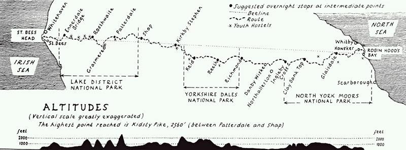
I tackled the Lining Crag scramble on Day 2 with the help of a Wainwright Coast to Coast walker, who was three days out from her start at St. Bees Head.
It takes the average fit hiker 12 to 15 days, and she had some great tips:
Buy a food dehydrator so that you can economically prepare your own compact, lightweight ration packs.
Carry no more than 2 litres of water, but invest in a water filter.
Carry some water purification tablets.
Having lugged 3.5 litres up and down Great Gable on the first day (along with my camera kit), I decided to take a lighter backpack to High Raise, and to restrict the water to 2 litres. In the end, my water pouch ran out about 2 miles from home, and all the public houses in the area that I had relied upon (!) happened to be closed on Mondays, so I was ready for a drink.
Thanks, guys.
This was without consequence on this occasion, but if it had happened up on the fells, or if my pouch sprung a leak, then heat stroke and dehydration could have resulted, as Sophie Raworth recently found out whilst fell running around High Raise:
Sophie Raworth: ‘This one rookie error landed me with heat exhaustion while running in the Lake District’
The BBC broadcaster is preparing for a big mountain ultra – but forgot to pack one key item on a long training run
On the spur of the moment, I jump on a train and am whisked from London to the Lake District in just over two and a half hours on a day trip. It has been almost a decade since I visited Cumbria and its Lakeland Fells. It hadn’t occurred to me that I could do it on a day off from work.
I’m training for a run in the Alps later this year. It’s not easy to prepare for the mountains when you live in London. My weekends are spent seeking out peaks to climb. Box Hill in Surrey has been useful with its 220-metre summit, but I need some proper height.
My coach, Jo Willkinson, is waiting for me at Oxenholme station near Kendal. She recently moved to the Lake District and is delighted to be able to show me around. We drive deep into the mountains, past Lake Windermere, Ambleside and beyond. It’s just 40 minutes from the station to Stickle Ghyll car park in Great Langdale, and I spend most of that time saying ‘wow’. There’s not a cloud in the sky. I’d forgotten how majestic these mountains are.
Stickle Tarn trail is not runnable, for most of us at least. But I try to power myself up the two-mile path as fast as I can. It’s almost 400 metres to the top, proper mountain training finally and it’s slow going. This is a different kind of running. Hike the steep paths, run anything vaguely flat, make the descents as fast you dare, without twisting your ankle. It takes us almost an hour to reach Stickle Tarn, where hikers have stripped off and are perching on rocks while they cool down in the lake. Cumbria is unexpectedly hot. It’s 30C today. We are carrying two litres of water each but already I can tell it may not be enough. And I have made a very basic error. I am not wearing a hat. It’s a silly mistake and something I will pay for over the next few days.
I soak my feet in the Tarn to try to cool down and then we press on across the Fells. It’s runnable now though I sink occasionally, surprisingly, into ankle deep bogs along the way. I’ve told Jo I need plenty of elevation, so she drags me up and over some of the famous summits – Sargeant’s Man, High Raise, Harrison Stickle, Pike of Stickle, Rossett Pike and then back down into the valley. There’s no shade. There are very few people. The only noise is from a family of chattering ravens perched high on a rocky outcrop. The breathtaking views stretch for miles. We run for more than four and a half hours in relentless sunshine. We climb more than 1000 metres yet cover less than 12 miles. I am thirsty all the way home on the train to London that night and then feel wiped out and sick all weekend. ‘Heat exhaustion’, declares my neighbour, a doctor. ‘Why on earth didn’t you wear a hat?’ After all my years of running, I can’t believe I made such a rookie error. I guess, like so many, I’m still adjusting to the UK’s new bouts of extreme heat.
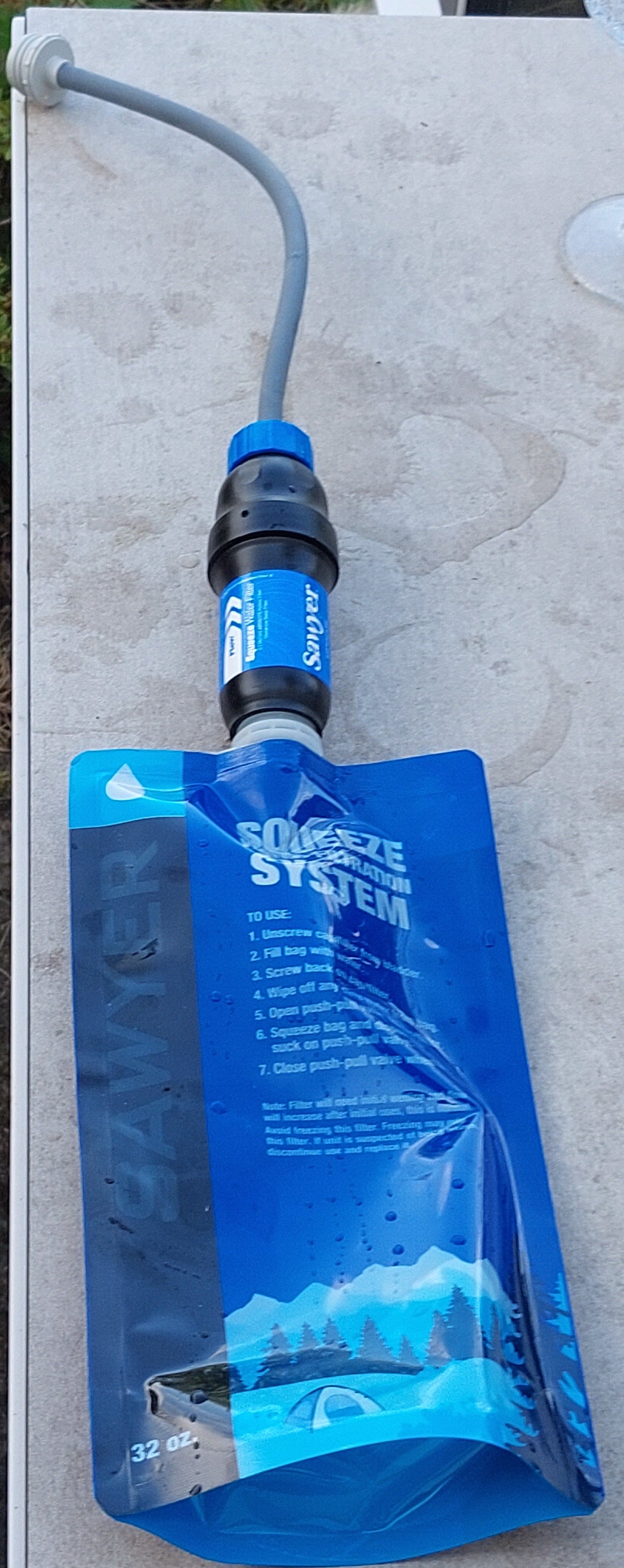
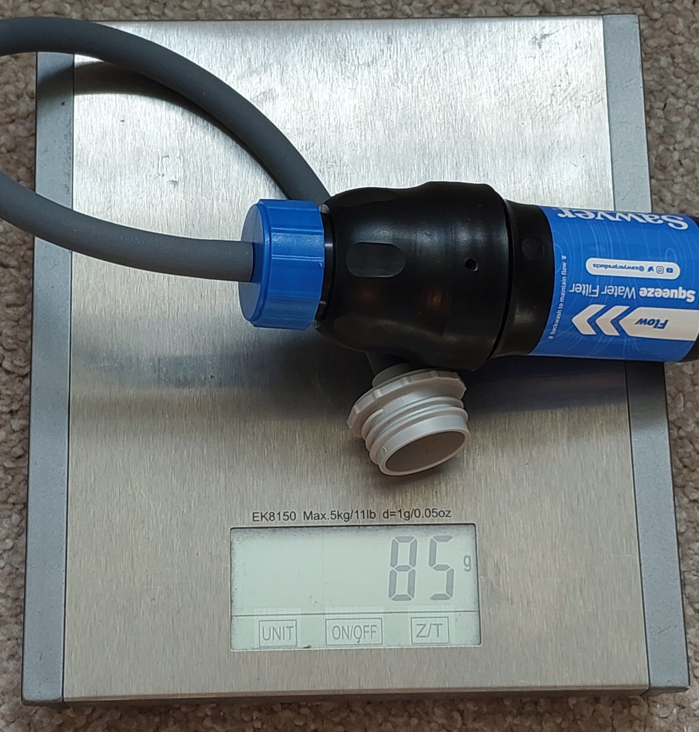
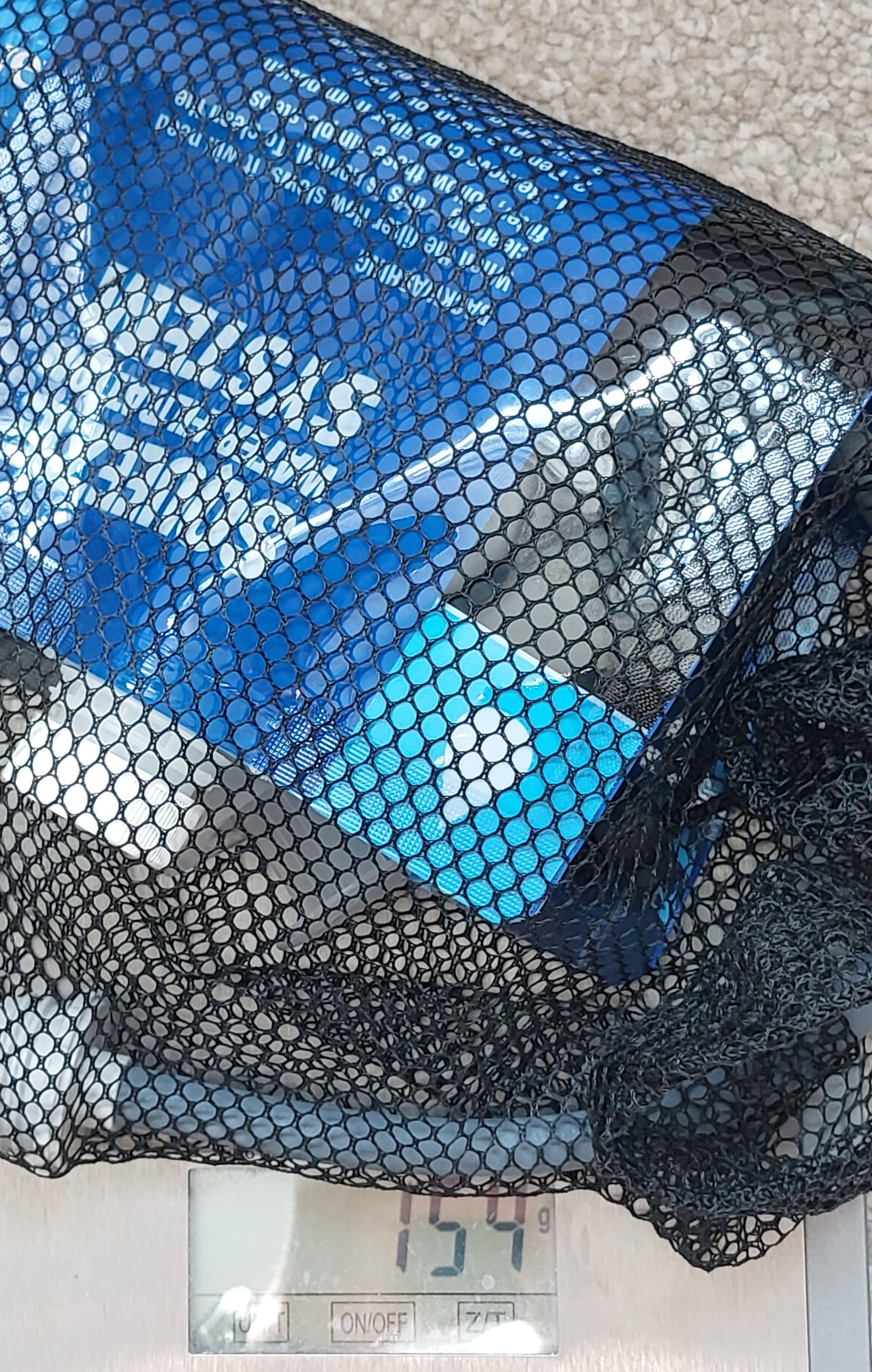
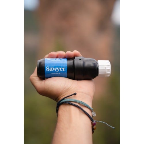
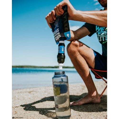
I haven’t tested it in the field, but can confirm that it’s lightweight, compact, filters down to 0.1 micron and comes with a 1 L pouch and various connectors.
0.1 micron isn’t enough to filter out waterborne viruses, but this isn’t usually a problem in the UK. You never need to replace the filter, but you must backwash it regularly to avoid slowdowns. I found that it needed little pressure to work - it’s not like squeezing a tube of toothpaste, and you can quickly empty the pouch.
The pack weight is minimal compared to carrying an extra 1-2 kg of water and bottles. My usual setup for these conditions is to carry 2 litres in a pouch, with two 0.75 litre tough aluminium bottles as backup, and one of these contains an isotonic energy drink. The net weight of all this is around 4 KG (9 lbs).
Much less extra baggage for next time.
If you are going off grid, or water holes are infrequent, you can buy an additional pack of 3 pouches and fill these with fresh water. The filtration will keep these potable even after several days.
Wildlife precautions? In the Lake District?
This was from a zoo in California.
Video shows family of bears tearing unattended campsite to shreds
The clip comes as a warning to keep camps bear-safe ahead of the 4 July weekend
The US Fish and Wildlife Service (UFWS) has shared a video showing just how quickly brown bears can destroy a campsite. The video, which was created in collaboration with Oakland Zoo, was made to demonstrate just how much damage bears can cause when attracted in search of food.
The clip, which was shared on Twitter, shows three bears ransacking a tent and camping gear, using their claws to tear into a cooler, flattening equipment, and reaching up to grab marshmallows from sticks.
The UK hasn’t had wild native brown bears for about 1,500 years, in the early medieval period, but this didn’t mean that my tent was safe from hungry intruders.
A few minutes after lights out on the first night, with it pitch black outside, I could hear movement outside the tent. Probably just a camper. Lots of us were still awake as it was World Cup quarter-final weekend.
But the sound got closer. My tent has a porch area, and whatever it was wasn’t human, and it was now inside my tent.
Was it a rat? A fox?
I grabbed my lantern, tentatively opened the flymesh door, only to find a hungry hedgehog raiding my rubbish bag. He/she had taken a fancy to French flair - the gourmet remnants of my ration pack tins.
Naturally I went to grab my phone, but, let’s call him “Spike”, had legged it by then, back under the tent flap.
I knew he’d be back again later, so shifted everything from the torch to inside the secure bedroom compartment. This included my food bag.
And sure enough, Spike had another go a few hours later, but this time I just turned over …
DoorlessCarp’s Scientific Literature Reviews is a reader-supported publication. To receive new posts and support my work, consider becoming a free or paid subscriber.
Walking can be dangerous, and all walkers must take personal responsibility for their own safety. You should always carry a backup means of navigation and not rely on a single phone, app or map. This Substack strives to provide accurate information but cannot accept responsibility for changes, errors or omissions.
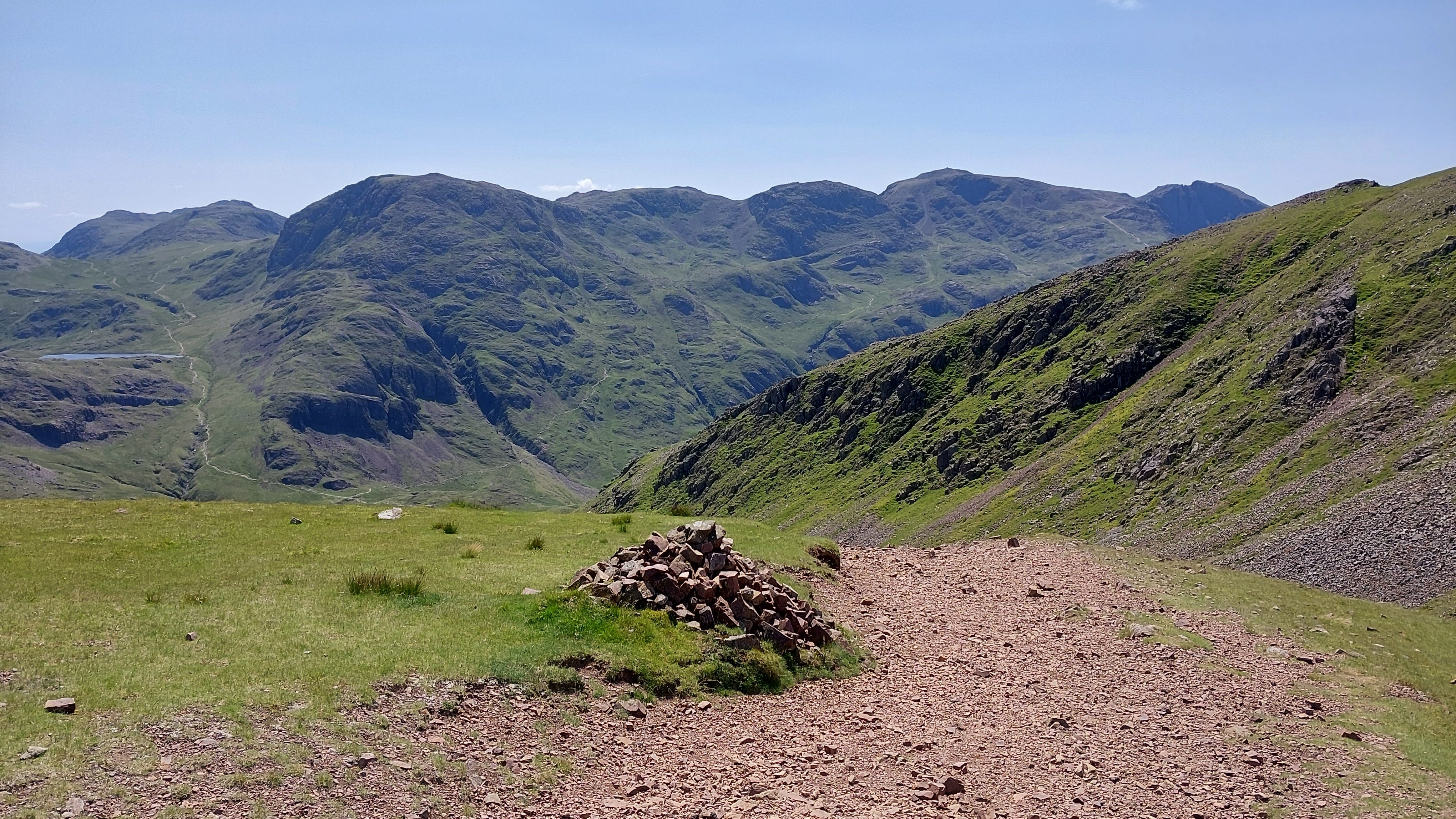
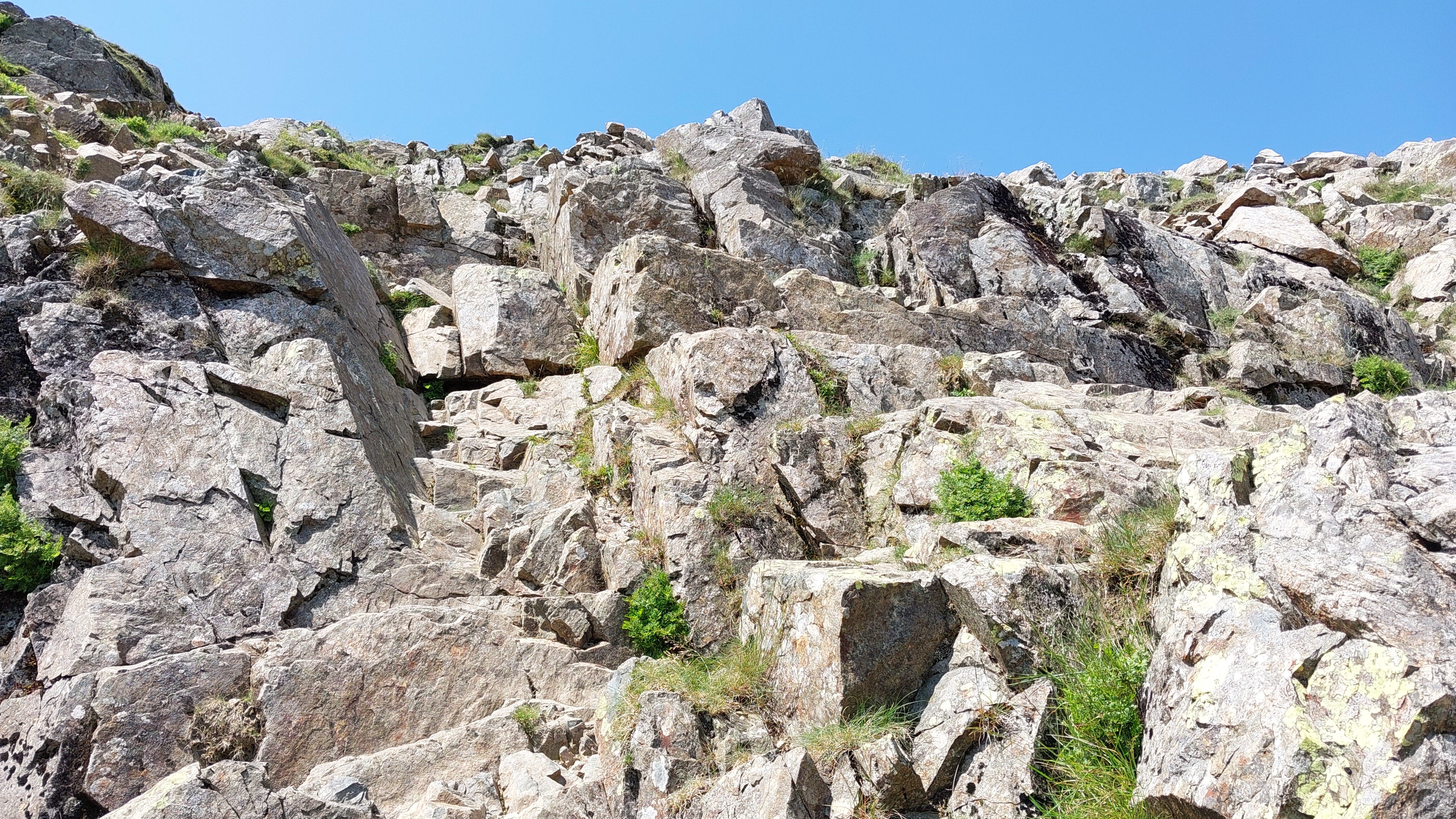
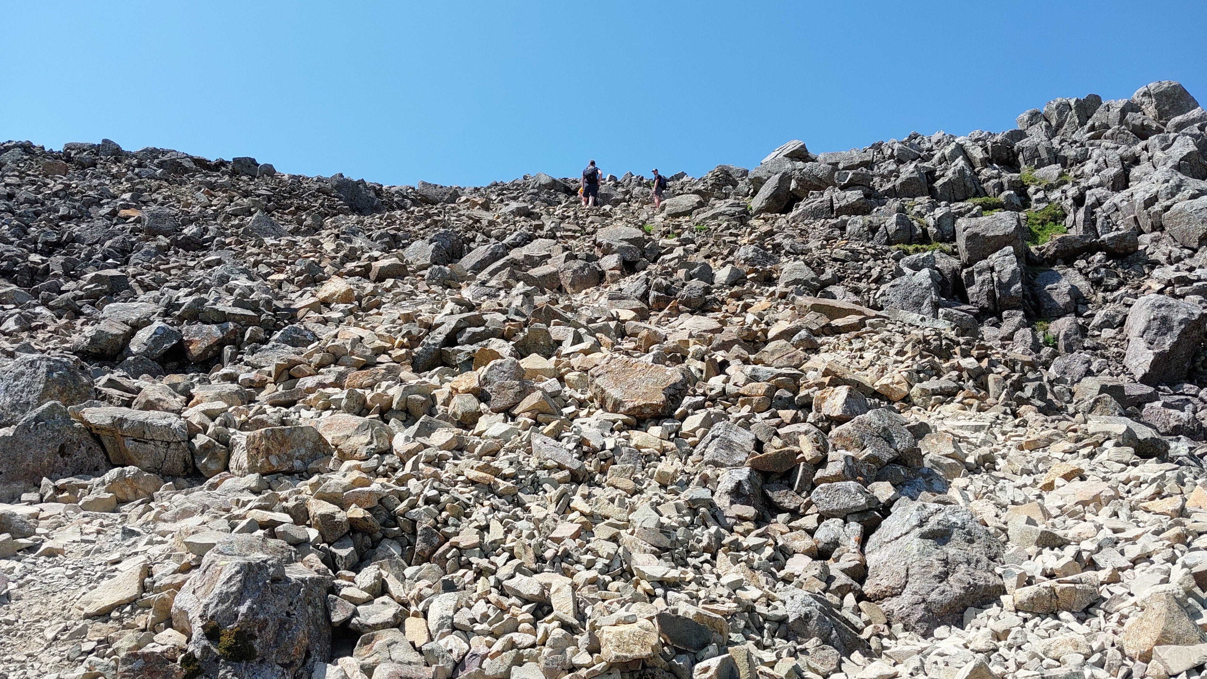
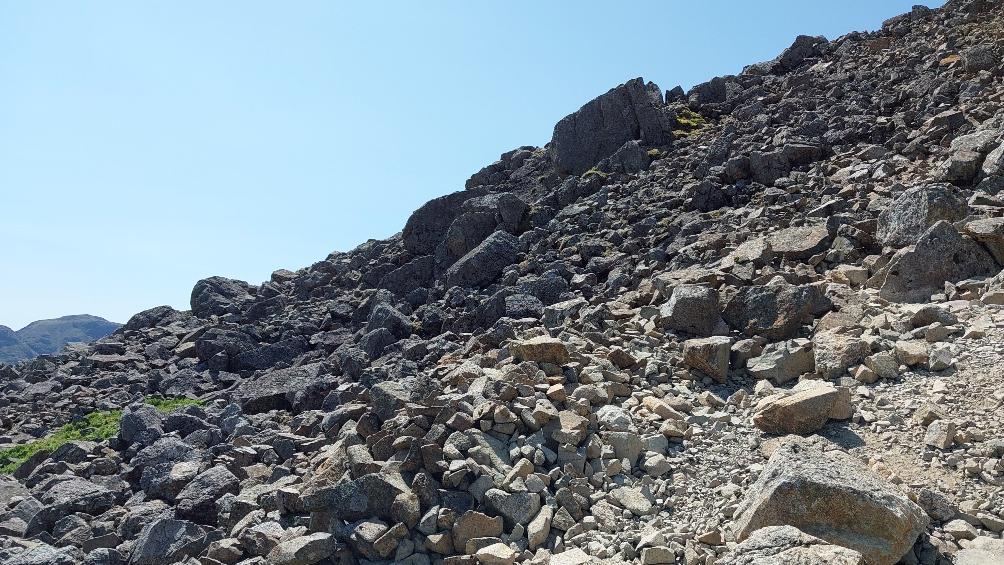
So beautiful! And some of the topography is so amazing to look at, not even a low lying shrub was growing near the tops of many of the areas you climbed, it really did look like a lunar mission.






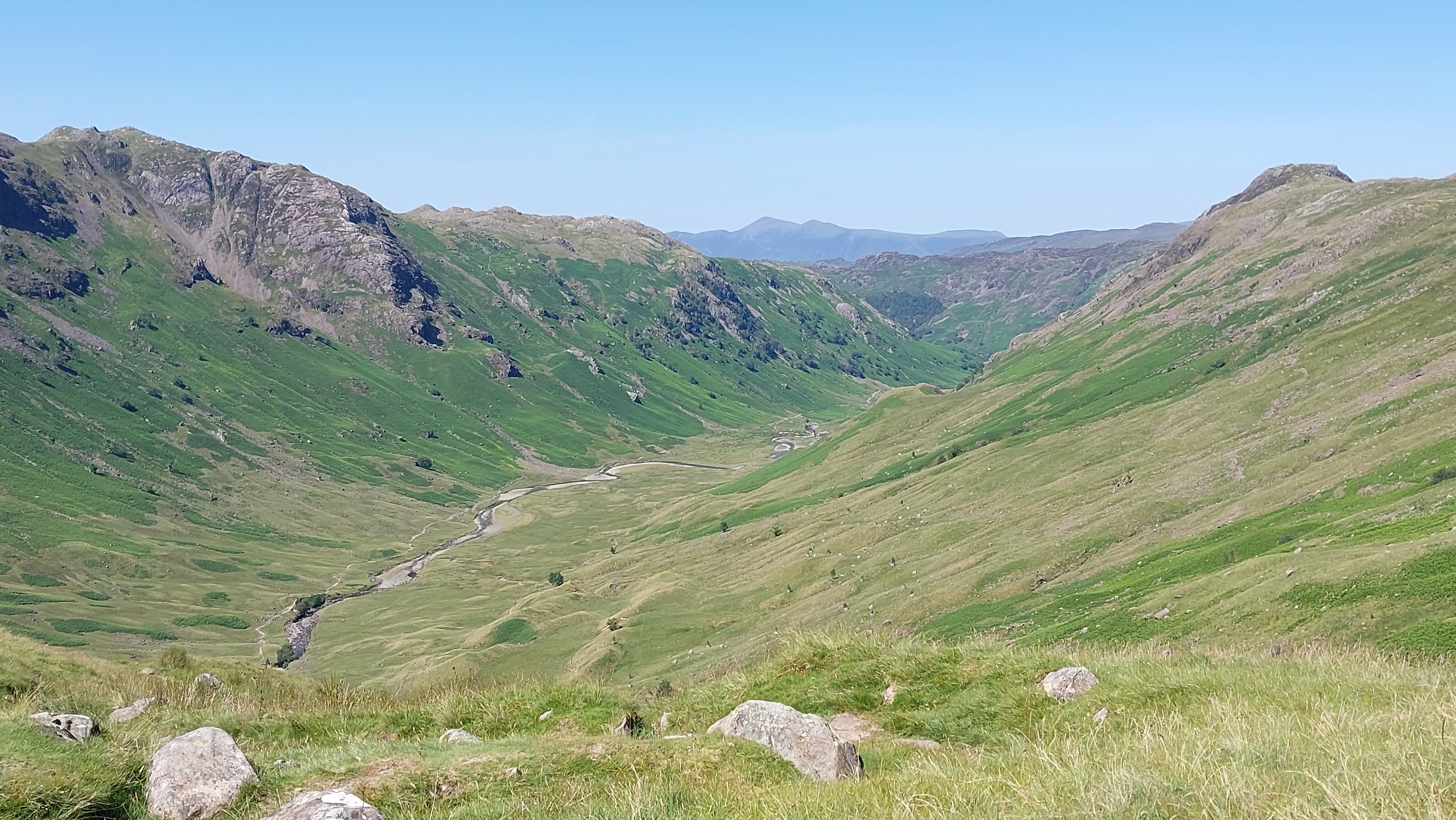
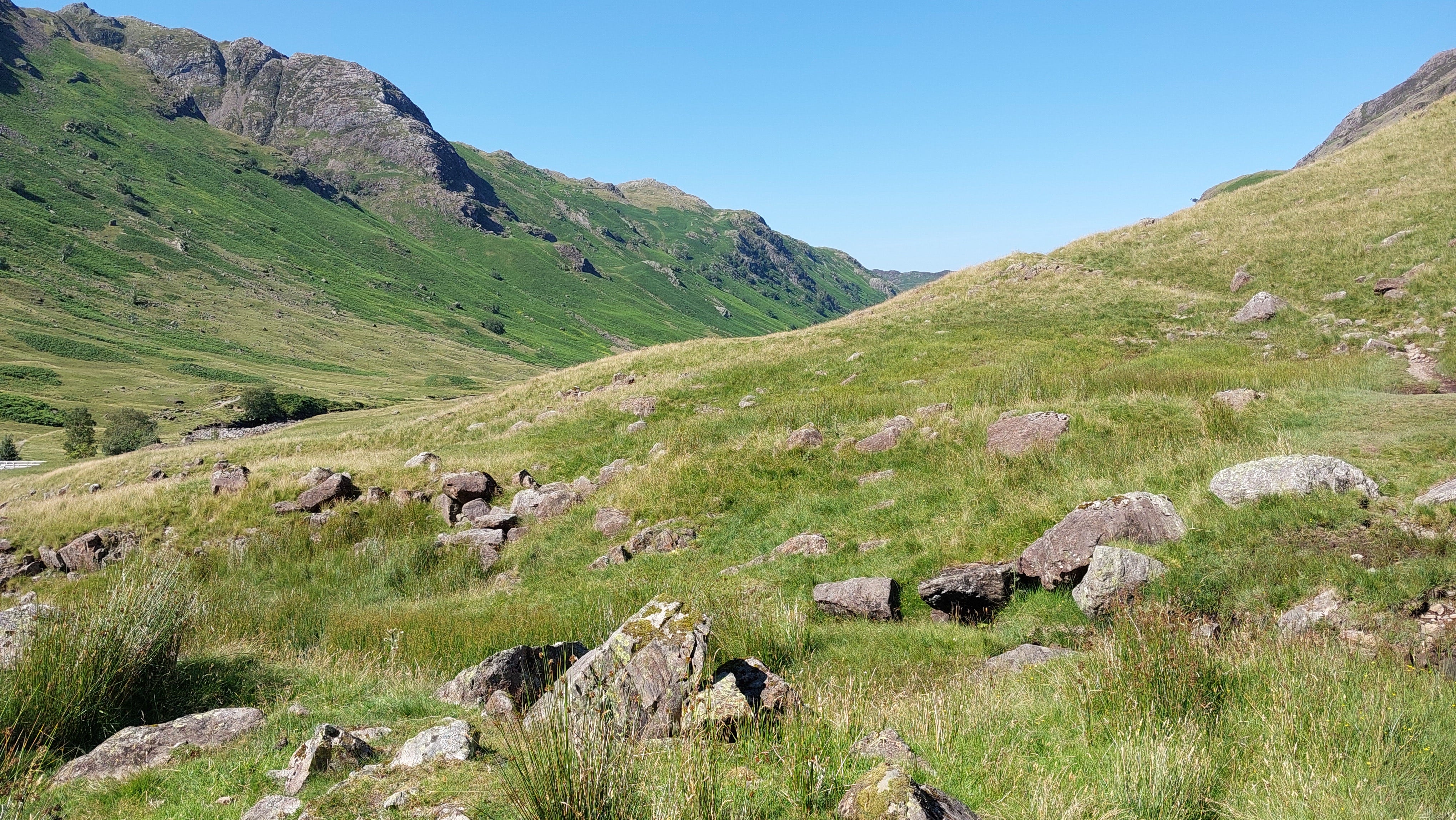
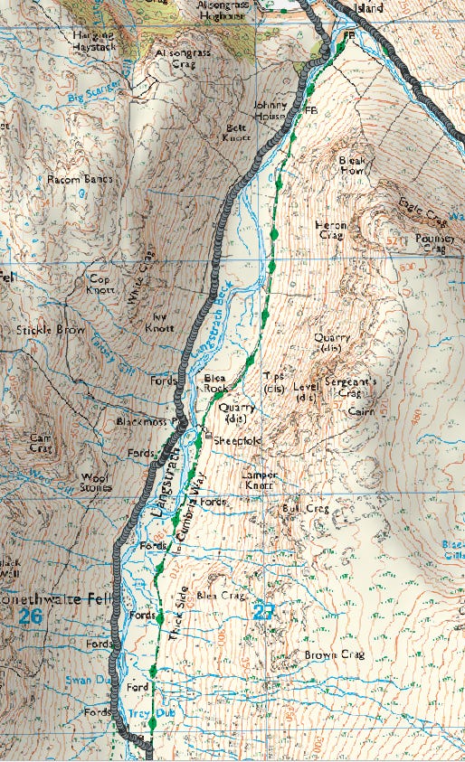
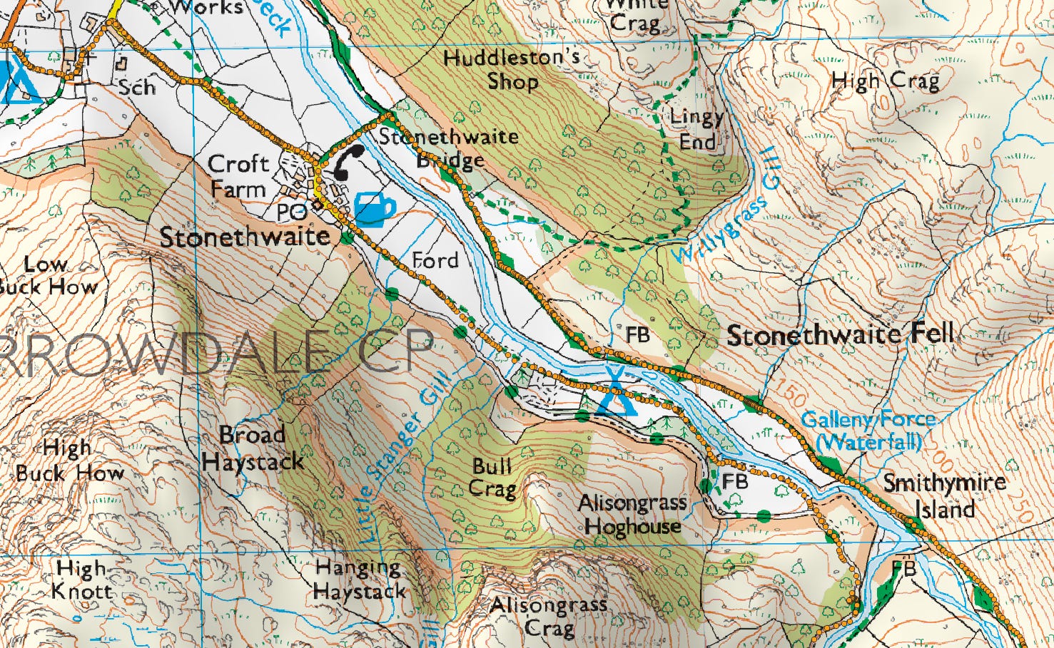


Simply beautiful, thank you for sharing . Hope your feet are well!!🌞🤩⭐️💥
So beautiful! And some of the topography is so amazing to look at, not even a low lying shrub was growing near the tops of many of the areas you climbed, it really did look like a lunar mission.